Cat
Plant Fire, (Mt. Joy, Iowa) Tuesday February 20, 2001
Click on any graphic for a larger view, use the back button to return to this page |
 |
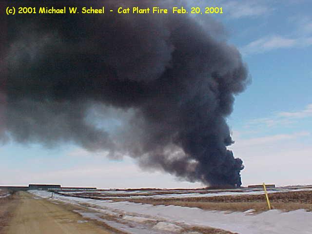
This photograph was taken from just off Jersey Ridge Road to the east
of the Cat Plant. |
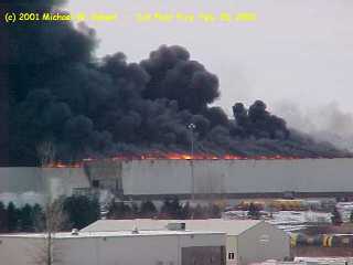 |
Taken a few minutes after the one below. You can see flames are more
apparent. |
 |
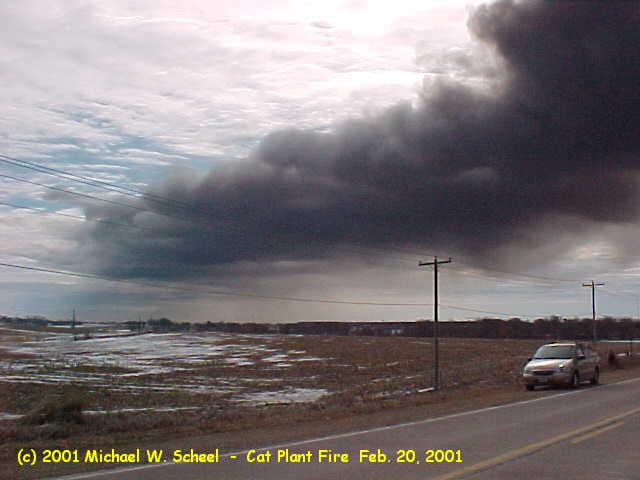
Taken from the BlackHawk Trail over pass at US 61. There was several
(10+) cars parked by and on the overpass watching the fire. |
 |
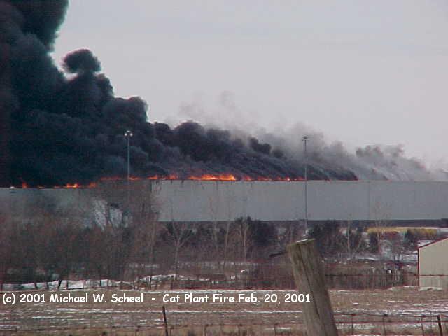
This one was taken a few minutes before I move to the overpass. It
is more of a easterly direction from the burning building. |
 |
Directly east of the plant. It was shot from a roadside park on old
US 61. |
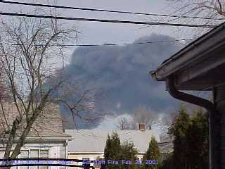 |
Taken from my backyard south of the plant. I'm about four miles south
in Davenport. |
 |
taken the same spot on the old US61 as the fourth picture above. It
shows the smoke plume moving to the SSE. |
Links to other sites showing pictures and information
about the fire.
Bettendorf Fire Dept. (one of the mutual aid departments)
Davenport
Office of the national Weather Service |
We're counting you
as the  visitor here
return to main
page
Page (c) 2001-2002 by Michael W. Scheel
page revised on October 19, 2002 |