| Students choose one of the following rivers to research. 1. North Loop 2. Big Blue 3. Missouri 4. Platte 5. Niobrara |
 |
 |
| Nebraska Rivers Project |
| Lesson Plan |
| Students will use this guide to research information and create an informative report about a chosen river in Nebraska. |
| Step 1 |
| Step 2 |
| Students use the following internet sites to research for information. |
| Step 3 |
| Students need to print off interesting information that would answer the following questions. |
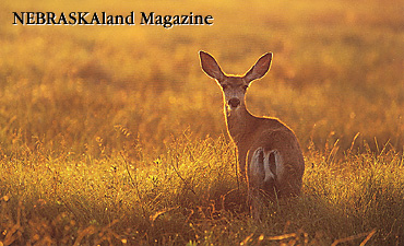
| Paragraph 1 Description Interesting facts Location - north, south, east, west, etc. How long the river is Where the river begins and ends How deep the river is Animals / wildlife |
| Step 4 |
| Students use the information that was gathered and highlighted to write a summarized paragraph or two. Here is an example: The Platte River is very shallow and flat. The Indians named the Platte River because it looks flat and in Indian language flat meant platte. The Platte River goes straight through Nebraska. The Platte River has a national park by it. The Mahoney State Park is near Ashland. The park is open year around. It has electricity because if there wasn't there wouldn't be a slide in the pool. There is a shower or if there wasn't people's hair would be green. There is a 4-H camp that is called wet and wild. You stay there for 3 days at the camp. The Mahoney State Park opened in 1991. |
| Step 5 |
| Paragraph 2 Description Students choose a park to visit and camp at that would be near the river. Print off the information and highlight what would be used to provide information about the following: |
| Step 6 |
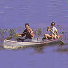
| Students use the internet links provided above to locate 2 pictures to be included in the report. Insert these pictures into the report. (The teacher will assist by providing oral directions when picture sites have been bookmarked.) |
| Step 7 |
| Students need to find and trace the river using a blue marker, colored pencil, or crayon on the map provided. |
| Step 8 |
| Students need to use the SketchBoard Tablet and trace the map in red and the river in blue. Lable the map <Nebraska> in red and the river in blue. Save the map to a disk. |
| Step 9 |
| Students need to insert the map into the report. |
| Step 10 |
| Students need to publish work. Students should make revisions, spell check, and insert picture and map. |
| 4.15.02 |
 |
| 6. Elkhorn 7. North Platte 8. Little Blue 9. South Loup 10. Republican |
| 1. Name of park nearby (state or local) 2. Electricity available for RV's 3. Camp grounds for tents 4. Showers are available 5. Laundromat is available 6. Entertainment / Activities |
 |
 |
 |
 |
| Students will share their work with a friend and the teacher. They will also share the report with the class by means of an oral presentation. |
| Step 11 |