
|
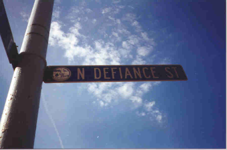
This is Defiance Street. It is the main north-south street in Archbold. |
|
This is the standard street sign for Archbold. Notice the city symbol at the left of the name. |
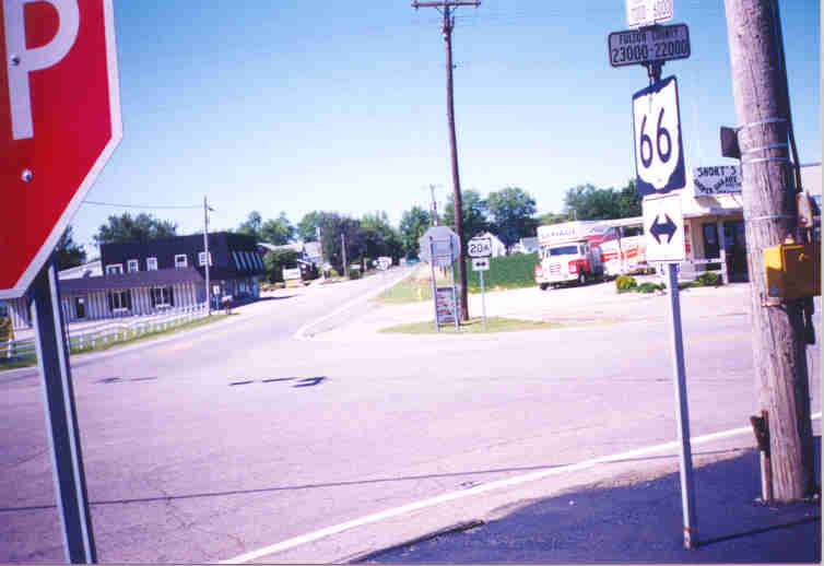 |
These are the towns of Burlington and Elmira. If you blink, you will miss them both! Notice the street number ranges placed atop the OH 66 sign at the right. To get to the Ohio Turnpike (OHTP) one is instructed to make a left onto westbound US 20A In the US 20A sign the "A" is 3/4 the size making up the numeric digits. |
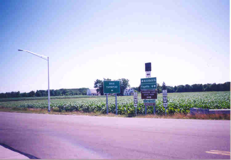 |
This is Fulton CR 24, which connects OH 66 to the OHTP. This is the end of the OHTP ramp. Notice (1) the FHWA font of the signs for Archbold and Fayette, (2) the sign directing traffic to the OHTP has no I-80 or I-90 reassurance markers, and (3) the use of brown signs to indicate attractions. The small one at the bottom for Sauder Village can be found elsewhere along OH 66. There is a covered sign over the big green and brown stack; could a relocation of OH 66 be on the way? |
 |
Here is the actual ramp leading from CR 24 to the OHTP. The control cities are Toledo and Chicago (the eastern terminus of old US 66!) for eastbound and westbound traffic, respectively. |
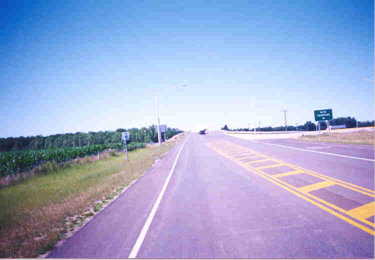 |
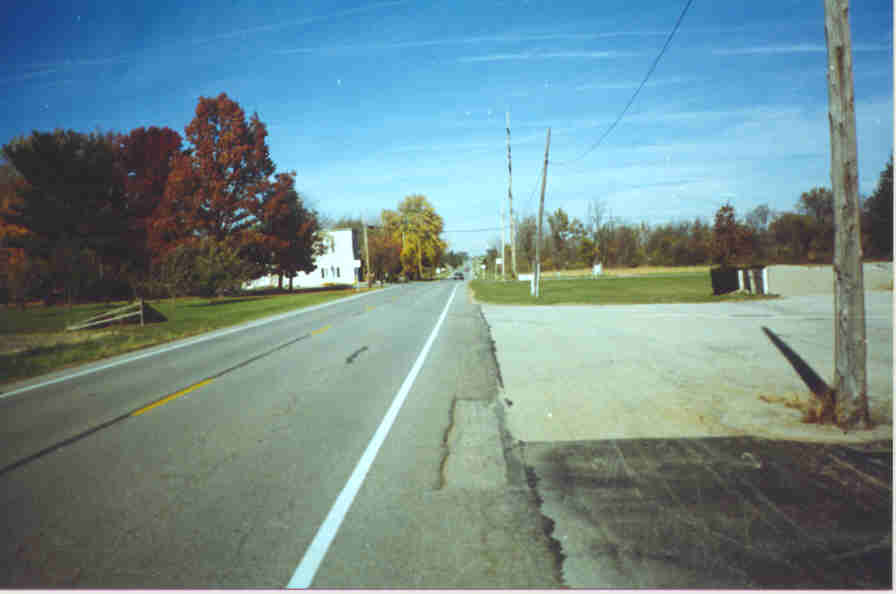
Here is northbound CR 24/future OH 66. |
 |
This is Zone, located in Franklin Township. On the right is a parking lot for a school. |
 |
This is Fayette, where OH 66 ends at US 20, some 2.5 miles south of the Michigan border. |