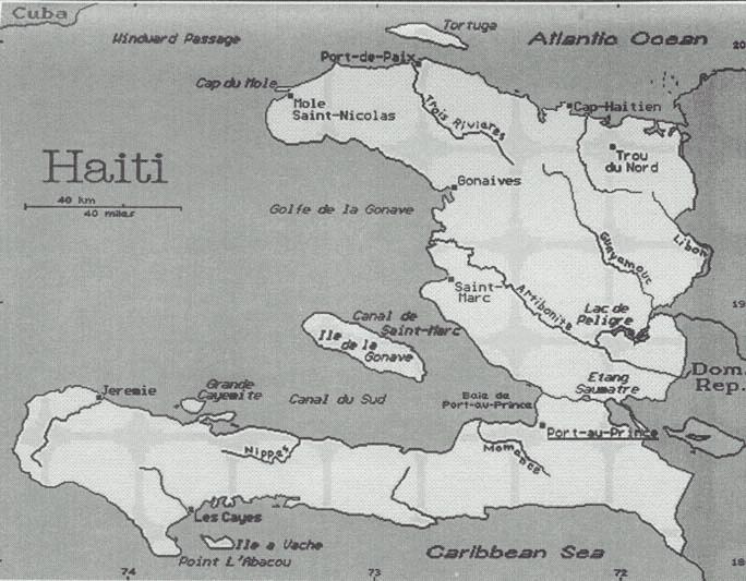
Location: Caribbean, western one-third of the island of Hispaniola, between the Caribbean Sea and the North Atlantic Ocean, west of the Dominican Republic
Geographic coordinates: 19 00 N, 72 25 W
Map references: Central America and the Caribbean
Area: total: 27,750 sq km land: 27,560 sq km water: 190 sq km
Area - comparative: slightly smaller than Maryland
Land boundaries: total: 360 km border countries: Dominican Republic 360 km
Natural hazards: lies in the middle of the hurricane belt and subject to severe storms from June to October; occasional flooding and earthquakes; periodic droughts
Environment - current issues: extensive deforestation (much of the remaining forested land is being cleared for agriculture and used as fuel); soil erosion; inadequate supplies of potable water
Environment - international agreements: party to: Biodiversity, Climate Change, Desertification, Law of the Sea, Marine Dumping, Marine Life Conservation, Ozone Layer Protection signed, but not ratified: Hazardous Wastes
Geography - note: shares island of Hispaniola with Dominican Republic (western one-third is Haiti, eastern two-thirds is the Dominican Republic)
Government type: elected government
Capital: Port-au-Prince
Population: 7,656,166 note: estimates for this country explicitly take into account the effects of excess mortality due to AIDS; this can result in lower life expectancy, higher infant mortality and death rates, lower population and growth rates, and changes in the distribution of population by age and sex than would otherwise be expected (July 2004 est.)
Age structure: 0-14 years: 42.2% (male 1,646,216; female 1,583,294) 15-64 years: 54.1% (male 2,018,914; female 2,124,287) 65 years and over: 3.7% (male 133,241; female 150,214) (2004 est.)