+70N
300E
Deti
+70N
240E
Month
Adir
Bora
Coan
Deti
Edal
Flo
Geor
Heliba
Idanon
Jowani
Kireal
Larno
Medior
Neturima
Ozulikan
Pasurabi
Rudiakel
Safundo
Tiunor
Ulasja
Vadeun
Wakumi
Xetual
Zungo


forest


44N
300E
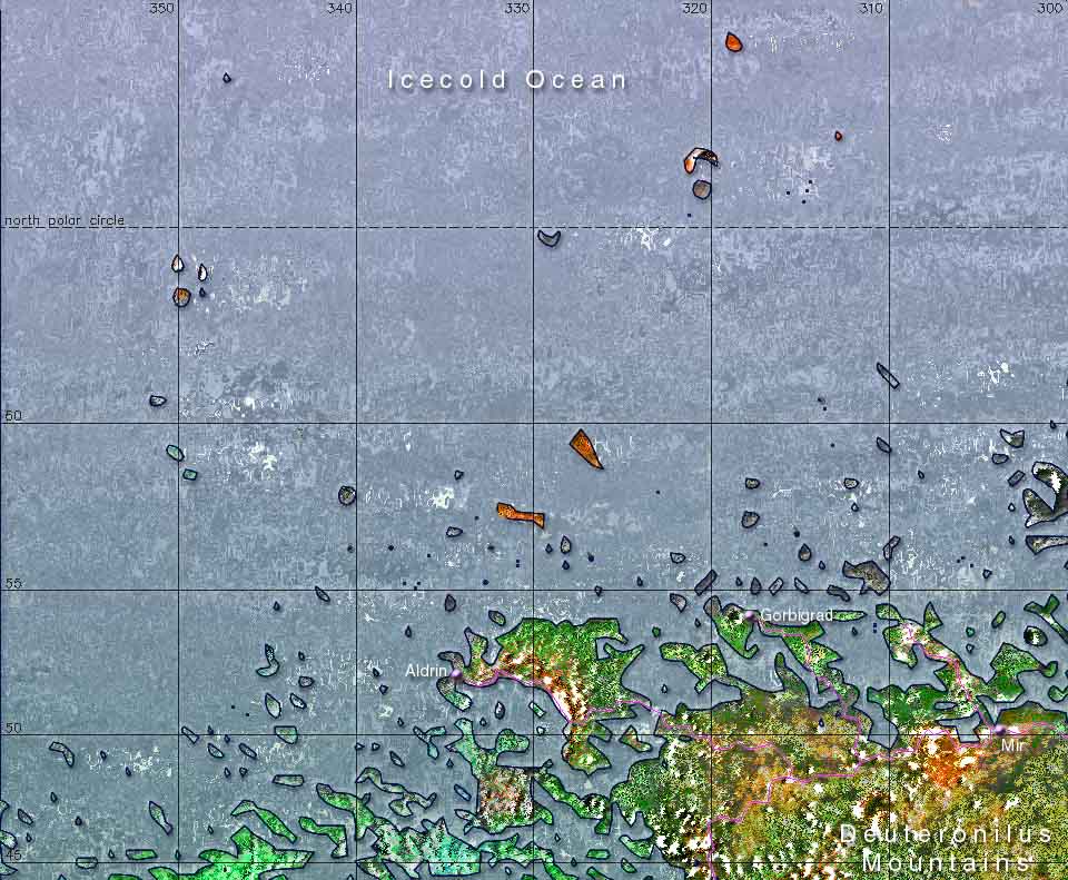
The area shown on this map is about 3.5 million square kilometers, which is roughly the same size as India or the sixteen countries of the European Union
44N
240E
The
Martian Time Website
The Mars
Society
The Astrobiology
Web
The Terraforming Information
Pages
The Red, Green & Blue MarsSite
The bottom of this map shows the wild northern coast of the Xanthe subcontinent, where fjords penetrate deep into the mainland. With such a diffuse transition between land and sea it's no surprise this area is famous for it's fish. Deti is the first month of the herring season, as the fishing boats bring their first catch into Aldrin harbour. Spreading across the edge of the map are the Deuteronilus Mountains. The city of Mir is a good starting point for treks into this area. A journey not to be missed is the breathtaking trainride over the narrow peninsula to Gorbigrad.
The Darian Calendar created by Tom Gangale Month and weekday names, maps and page layout by Frans Blok