The name Mam Tor in celtic means "Mother Hill" and this area is where the white peak limestone meets the dark peat gritstone.
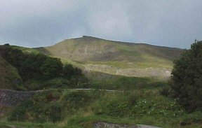
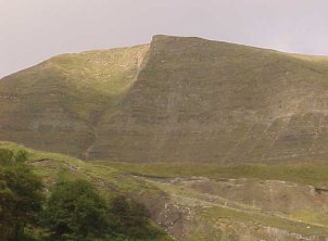
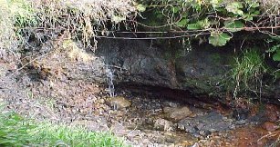
The reason for the unstable nature of the hillside is that the shale rock is soft and crumbly, and when wet rapidly reverts to its original muddy state and has little bearing strength.
Sometimes the movement is more severe, resulting in landslips that affect the road, causing subsidence on a large scale.
The road is now permanently closed and has been abandoned completely.
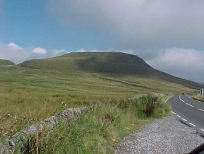
This hill fort commands an impressive position and sits aside a routeway possibly as old as the earliest colonisation of the Peak.
The Iron Age camp covers 16 acres within a circumference of 1,200 yards.
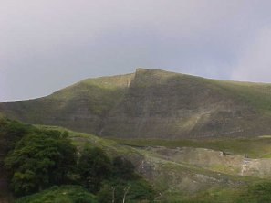
The surface workings of these mines now provide a habitat for specialist lead-tolerant plants such as the Mountain Pansy and rare Spring Sandwort (or Leadwort).
On the hillside a programme of reseeding the heather is being undertaken to return the hill to its original moorland vegetation.
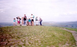
Mam Tor is very well known
and there will be very few ramblers in the Peak District who have not been
to the top of this impressive hill.
With commanding views over the surrounding countryside on a bright
summer's day there are few more wonderful views in this country.
