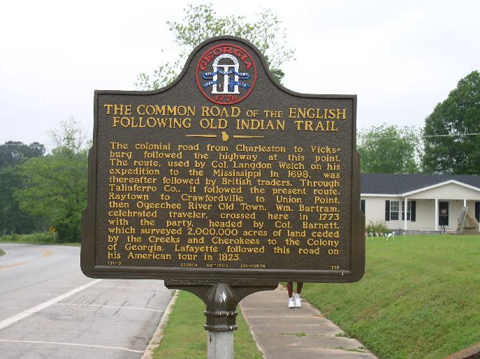
Indian Trail Marker in Crawfordville Georgia
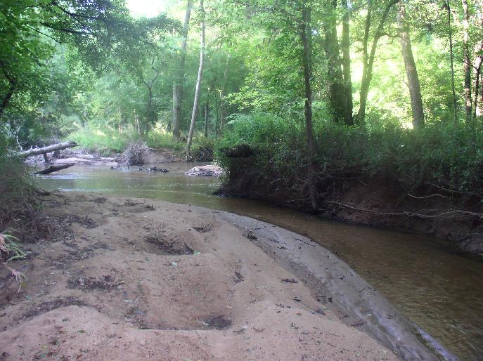
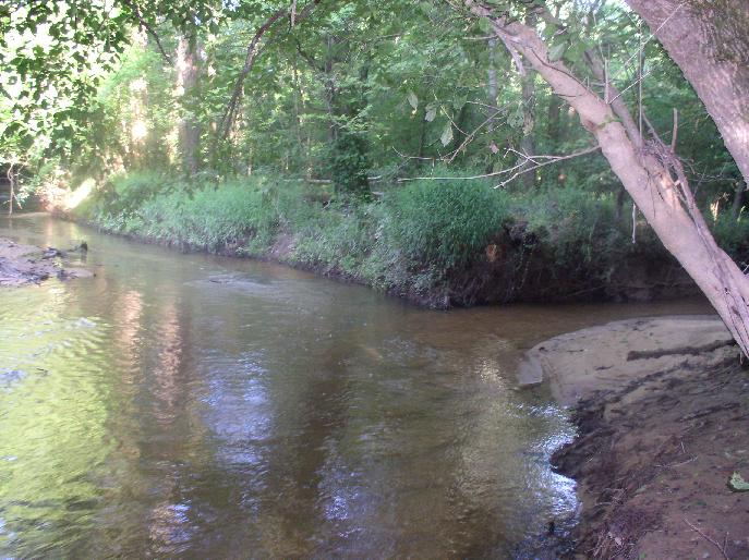
The following photos are the mouth of Camp Creek flowing into the Ogeechee River.
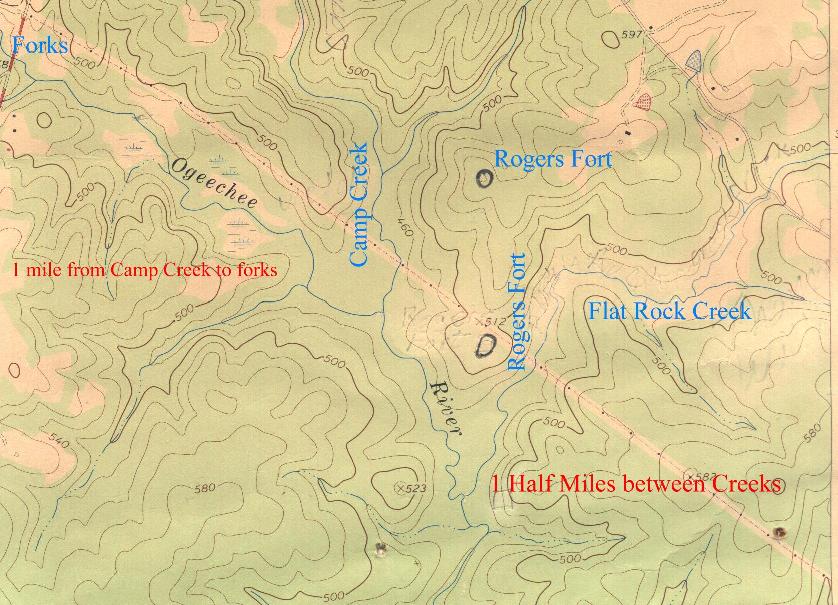
Following is an image showing the two most likely places for the Fort.
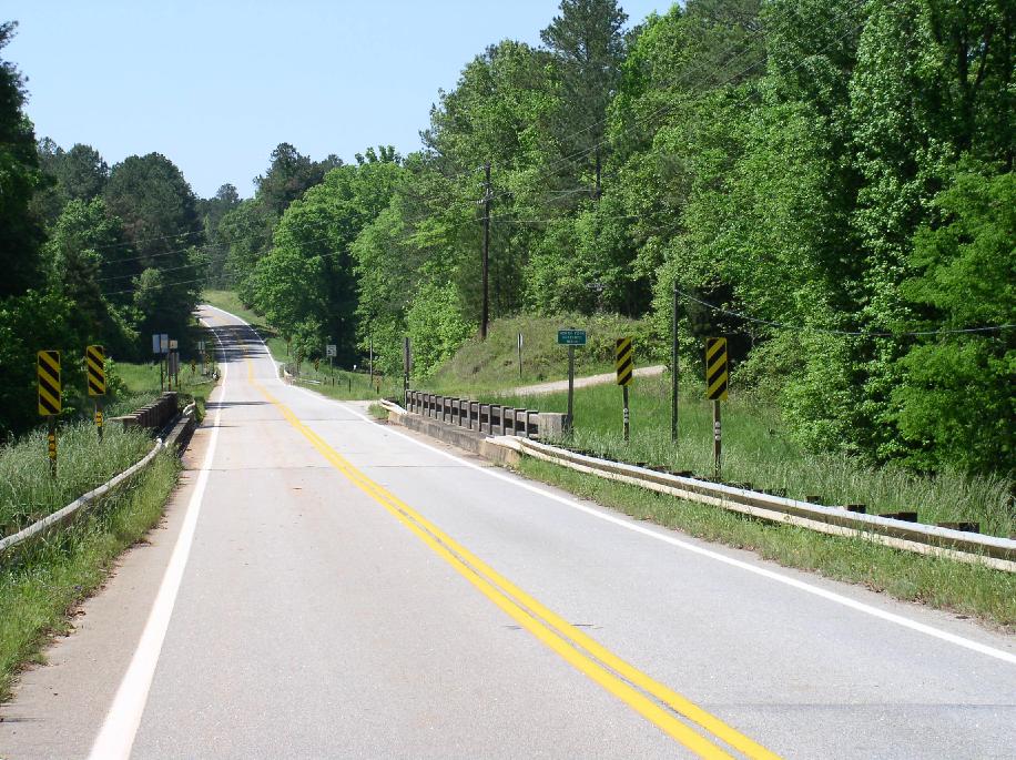
This trail was called the Upper Path and crossed two miles above the Forks of the Ogeechee River.
Today this creek is called Mile Branch.
This photo was taken on the bank of Camp Creek facing the river.
This photo was taken on the East bank of the Ogeechee River facing North West. Camp Creek flows to the right.
Click to see Topo Map