 |
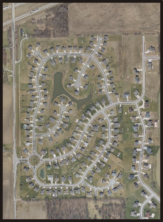
| This photo was composited from the Indianapolis GIS database. These photos were taken in 2002. All of Marion County has been photographed this way. More detail is available by going to the GIS site. Visit the GIS site directly by clicking the following link then click on "Online Maps". |
 |