Gettysburg Battlefield
Up

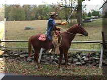
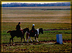
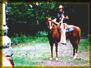
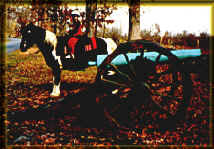
This park is perfect for a beautiful weekend ride in Spring or Fall.

Basic Conditions:

Accessible trailer parking on grassy lot at the McMillan Woods camping area for day use.

gburg4.jpg (31633 bytes)

Only a fraction of the large grassy field shows here.  Good conditions for tacking up as well.

A long loop of relatively well maintained trails that cross the battlefields, parallel the driving tour and traverse the woods through Big Round Top and beside the Eisenhower Farm - You get a good perspective of history as you pass many monuments that hikers rarely see.  It takes us roughly 2.5 hours to complete the loop.

Another spur leads through the seminary property and past farm land to the Peace Light memorial.  This is probably 1 - 1.5 hours round trip.

Conditions can be a bit soggy after a rain, and there is no stream access for drinking or cooling off the horses.

Huge battle reenactments take place on the 4th of July weekend.  Do not try to ride then. Many areas will be closed and the crowds unmanageable.

gbfence.jpg (129744 bytes)

Mike poses along the trail parallel to the driving tour
(Cavalry sword not required!)

Mike and daughter (Michelle) pass one of the small monuments next to the trail in the fields

gburg2.jpg (54367 bytes)

Special Accommodations:

Overnight accommodations for horse and rider are available at Artillery Ridge Campground.  Co-located is the National Riding Stable to  provide rental horses for you and guided trail rides for groups. Call 717-334-1288 for reservations and information.


Potential Hazards:

Curious tourists unfamiliar with horses

Road crossings and vehicle traffic on the driving tour-slow moving traffic on one-way roads

Rocky and hilly terrain around Big Round Top

Soggy areas behind Big Round Top and along the Peace Light Trail after moderate rainfall


Mike shows the way at a
fork in the wooded trail

gburg3.jpg (45776 bytes)
gburg1.jpg (64094 bytes) Michelle poses near one of the cannons along W. Confederate AV


Rules & Restrictions: (Obtain complete listing at Visitor's Center)

Remain on designated trails, no jumping of walls or fences!

Pedestrians have right of way, proceed at a slow walk past pedestrians.

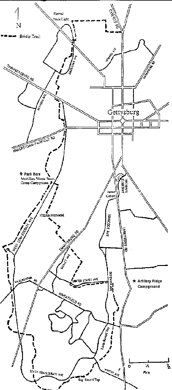
Park Map

Map thumbnail appears below.  Click on it to view larger map. 
Use your browser's BACK button to return to this page

GBurg.jpg (214879 bytes)

I strongly recommend obtaining the bridle trail map and official visitor's map prior to your visit. Stop by the Visitor's Center on your way, or download maps from Gettysburg Digital Maps.

Visit the official Gettysburg National Park site.

Directions from the South:

Route 70 to the Route 15 exit (in Frederick)

Exit at Route 15 North

Proceed past Thurmont and Catoctin State Park/Cunningham Falls

Cross the Pennsylvania State Line and proceed approximately 7 miles

Exit at Route 15 Business, Turn left at the top of the ramp (It is also called Steinwehr AV. at times)

Proceed through town to the light at the fork in the road

Bear left at the light onto S. Washington ST (Pass the hospital, and cross three streets)

Turn left on West Middle Street (Cross approximately 8 streets)

Turn left at the traffic light onto West Confederate AV. (At the top of a hill, signs point to "amphitheater")

Look for brown  McMillan Woods camp sign on your right (It is positioned low)

Proceed to trailer parking field at rear

(Note:  Take Route 134/Taneytown Road exit from Route 15 to reach Artillery Ridge Campground or the Visitor's Center)

Please write if you have any questions or comments: e-mail

  visitors since 12/25/1999

Last Updated 04/18/2000

smclogoani.gif (70016 bytes)
Best Heard with Microsoft IE 4.0
Hosted by www.Geocities.ws

1