Normandy
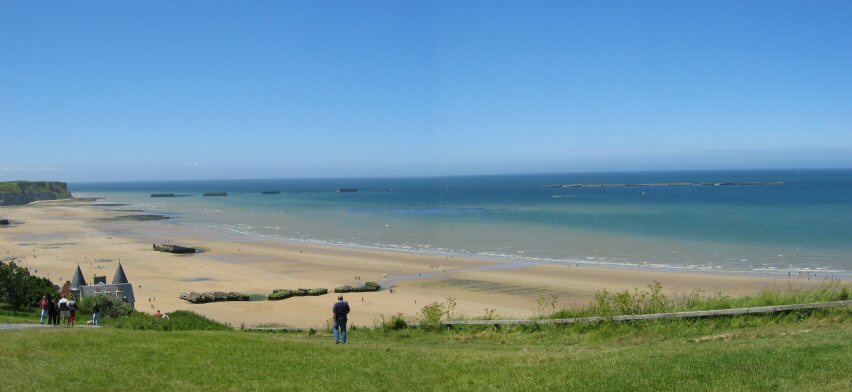
This pictures was taken just above Gold Beach in the town of Arromanches. You can see the remains of the "Mulberries" washed up on the shore and out at see. "Gold" was the code name for the center beach of the five designated landing areas of the Normandy Invasion. This beach fell under the responsibility of the British troops. There were two artificial harbors, called “Mulberries”, designed and constructed by the British in World War II to facilitate the unloading of supply ships off the coast of Normandy. Each Mulberry harbor consisted of roughly 6 miles of flexible steel roadways that floated on steel and concrete pontoons.
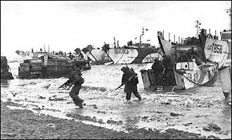
British troops coming ashore on Gold Beach on 6 June, 1944.
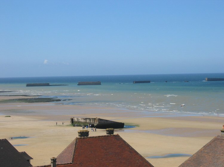
a little closer look at the remaining Mulberries.
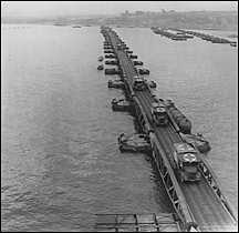
The Mulberry highway in 1944.
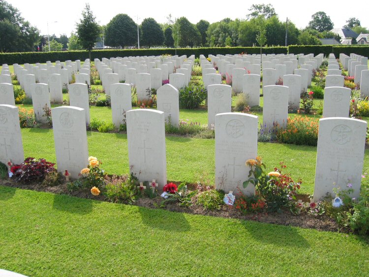
The town of Bayeux was the first major French town liberated after the invasion. Today it hosts a great museum, the famous Bayeux Tapestry, and the British war cemetery. It is a little different from the American cemetery in that the families can personalize the bottom line of each grave marker and the flowers around each stone. With its 4,648 graves, Bayeux is the largest British WWII cemetery in France.