
They each have a full color relief background showing the mountains, Rivers and valleys. These maps show the channles and the depths of the different points in the bay ( and river) at an average low tide. Also highways, roads, rivers, lakes, cities (with a breakdown of each city and the roads) and points of interest in the area. These maps are based on an USGS, ODOT and NOS files and full color DEM relief background.
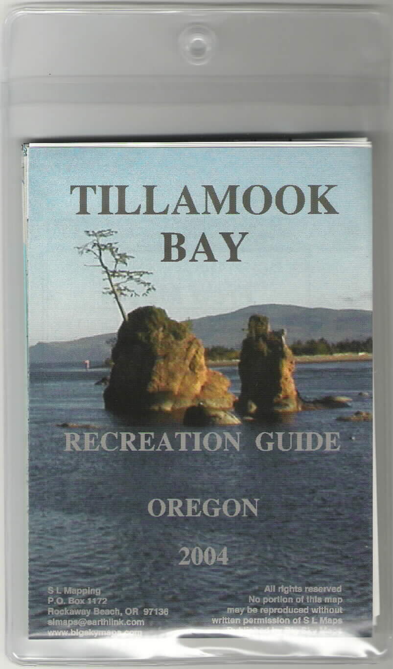
The Tillamook Bay area runs from Oceanside up highway 101 to Barview. Yet on the backside of the map we will give information on many of the local businesses and little towns on up thru Rockaway Beach and Wheeler. The cover has a beautiful color photo of the "Graces" (the rocks along hwy 101 at mile post 55 with a small tree growing from one). There are some discounts for your convienence.
The Rockaway, Nehalem Bay and Vicinity Map begins at Barview where the Tillamook Bay Map ended. It then goes on up to Cape Falcon and includes a portion of Oswald West Park with the campsites and trails, etc. This map has a photo of the Twin Rocks and a portion of Rockaway Beach (very pretty).
We have been told that these maps are much needed for recreational purposes and our visitors enjoyment who come to the coast.
Maps: $5.00 each (or 30% off for 12 or more)
*SLMAPS: 503-355-2134
Steve & Laura Hurst
P. O. Box 1172
Rockaway Beach, OR 97136
e-mail: [email protected]
THIS IS A BEAUTIFL HIKE AND THE TRAIL IS WIDE ENOUGH FOR A SCOOTER OR WHEEL CHAIR. THE LAST FIFTY FEET OF THE 1/4 MILE HIKE HAS ABOUT A DOZEN STEPS. "CLICK"