
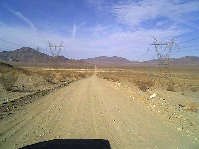
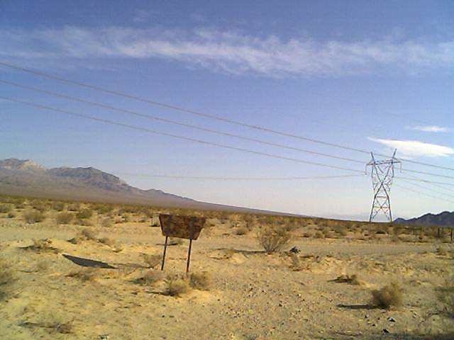
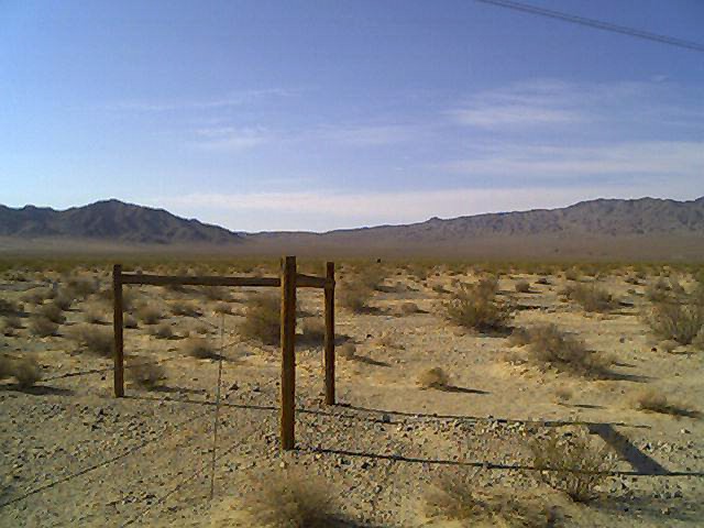
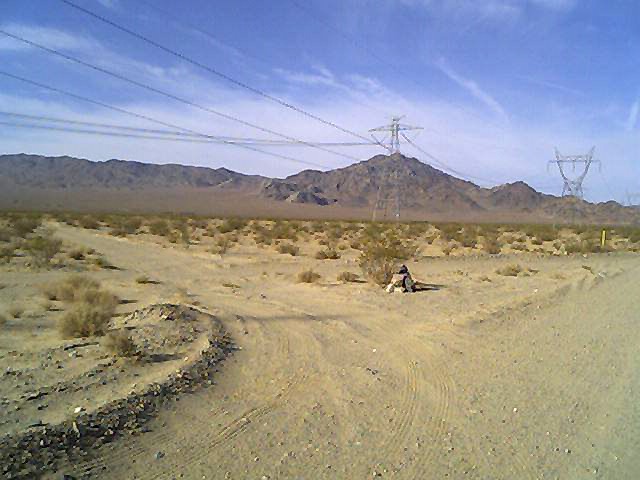
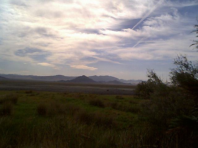
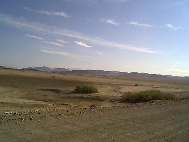
basin.jpg
- This photograph shows the basin in which the Indian rock cairns are
located, taken from the Eastern ridge of the basin looking generally
West. The rock cairns are approximately half way down the road from
where the photograph was taken and the far horizon. Two of the
enclosures are located on the left (south) and the third enclosure is
located on the right.
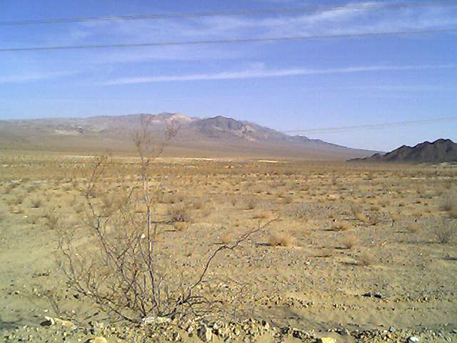
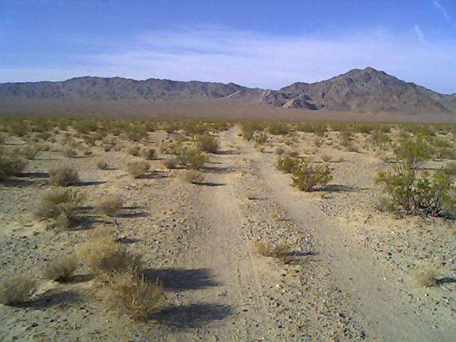
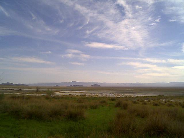
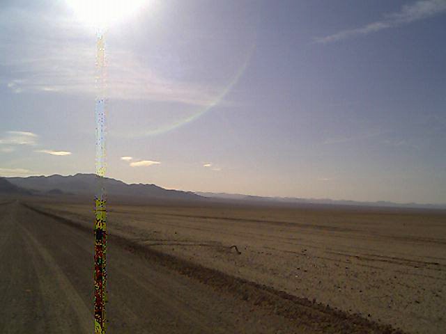
nobasin.jpg
- At the Easter ridge looking North. Over the range of mountains far
to the North West is a fairly large bombing range. Directly North some
30 or 40 miles is a fairly large acive mine.
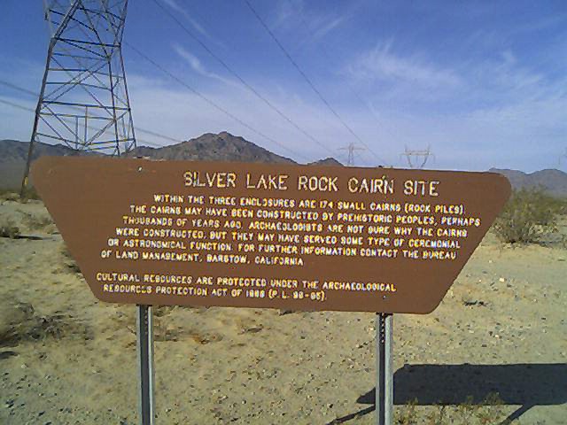
rpsign.jpg
- Here's the posted sign for the rock cairnns. All of the piles have
been numbered and photographed and they will all be posted to this web
site after their positions have been properly fixed and located on a
graph.
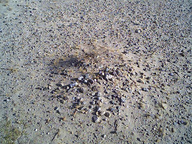
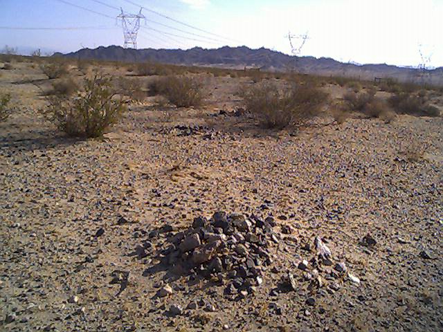
rpile1.jpg
- Here's a look at one of the rock piles coontained within the South
West enclosure, taken from outside the enclosure. Entry into the rock
pile enclosures is rarely done and special care has to be taken to make
sure that foot prints are not created. Many of the rock piles can be
photographed from outside the enclosures. Litter such as candy wrapers
and cigaret butts was fairly heavy before I went in with a team and
cleaned up the site, fixing the fences as needed however litter since
then has been very rare, brought in by blowing winds.
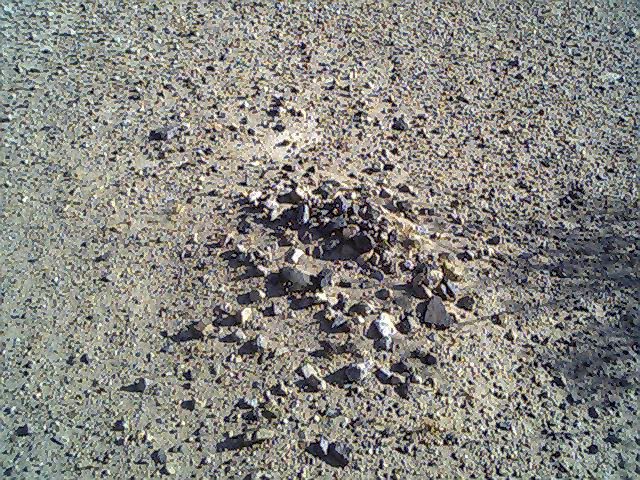
rpile2.jpg
- Another sample rock pile, not numbered. Part of the problem with dust
covering the rock piles is the road and vehicles which pass the site at
fairly high rates of speed. The speed limit is 20 MPH however it's
common to see one vehicle drive down the road every other day or so and
if they're not power company vehicles which do go slowly, they're
always zooming by at 70 hanging long plumes of dust which gets deposited
on the rock piles, slowly adding to the problem of them being covered up
(not to mention erossion to the road!)
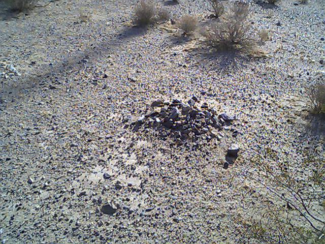
rpile3.jpg
- Another sample rock pile, not numbered.
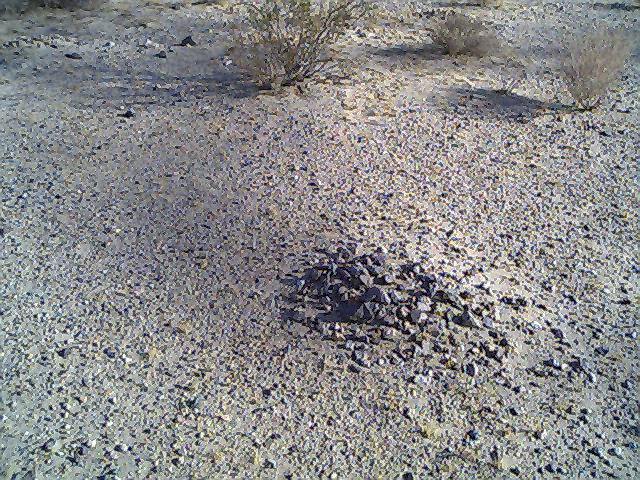
rpile4.jpg
- Another sample rock pile, not numbered.
rpile5.jpg
- Another sample rock pile, not numbered.
rpile6.jpg
- Another sample rock pile, not numbered.
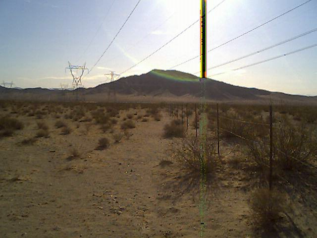
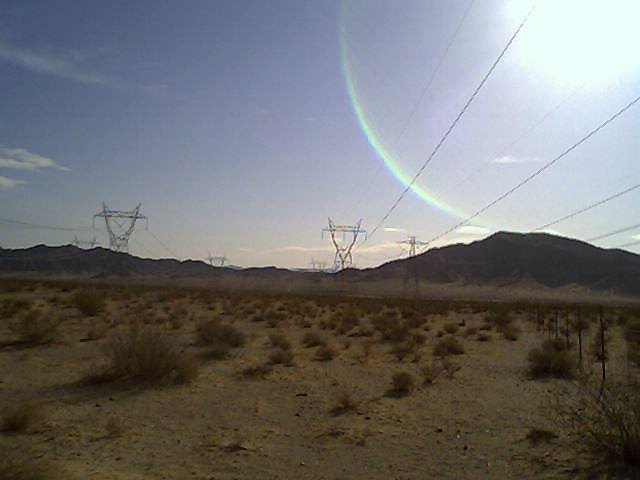
paneast.jpg
- To get a feel for what the domestic Indiaan population saw from the site,
a panoramic series of photographs were taken. It would look like without
the power lines running right through their rock site, though. This is a
view from the center of the rock piles looking East.
panse.jpg
- A view looking South East. We start pannning looking East and then
moving the camera toward the right.
pansouth.jpg
- A view looking South. As you can see, thhe road cuts right through
the center of the rock pile site.
pansw.jpg
- A view looking South West.
panwest.jpg
- A view looking West. Not visible in thiss photograph is a power station
that's usually vacated by humans however on rare occassion someone drives
to the station for maintenance or some other reason.
pannw.jpg
- A view looking North West. The wind blowws mostly from this direction
and the South East side of bushes, rock piles, and anything else on the
ground gets drifts of sand and dirt bulding up. The wind dictates the
migration pattern of the plant life and also dictates the way the local
kit fox population builds the entries to their underground dens.
pannorth.jpg
- A view looking toward the North.
pannort2.jpg
- Another view looking North.
panne.jpg
- A view looking North East.
panne2.jpg
- Another view looking toward the North Easst.
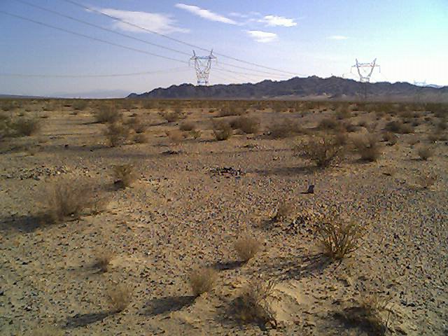
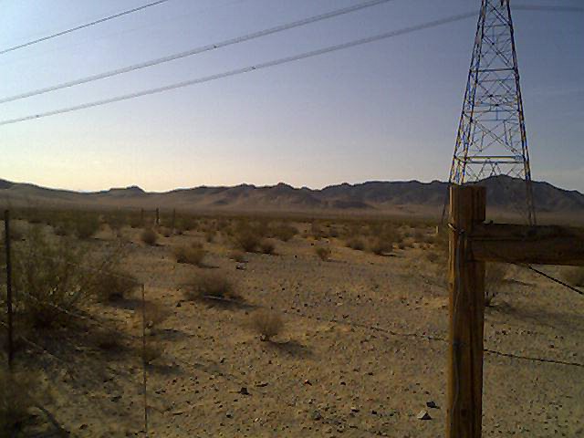
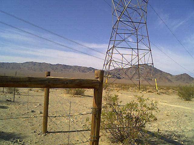
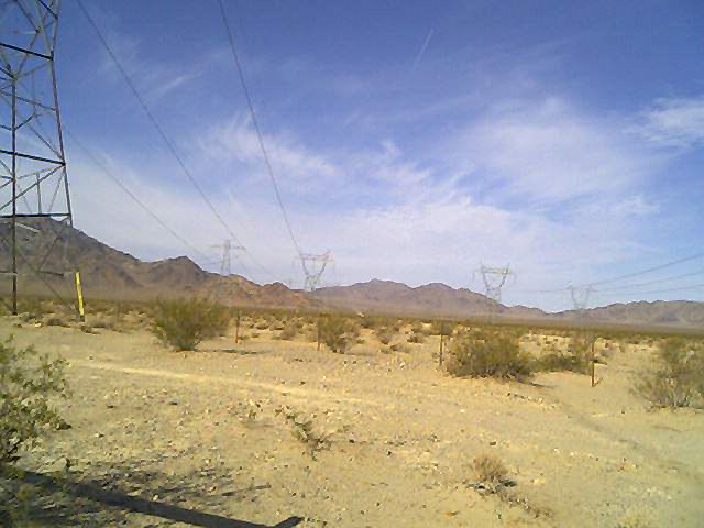
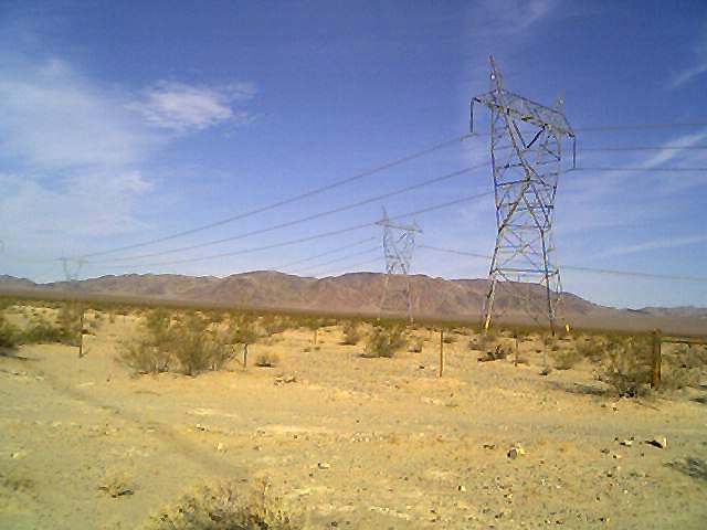
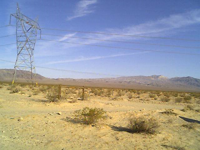
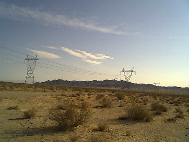
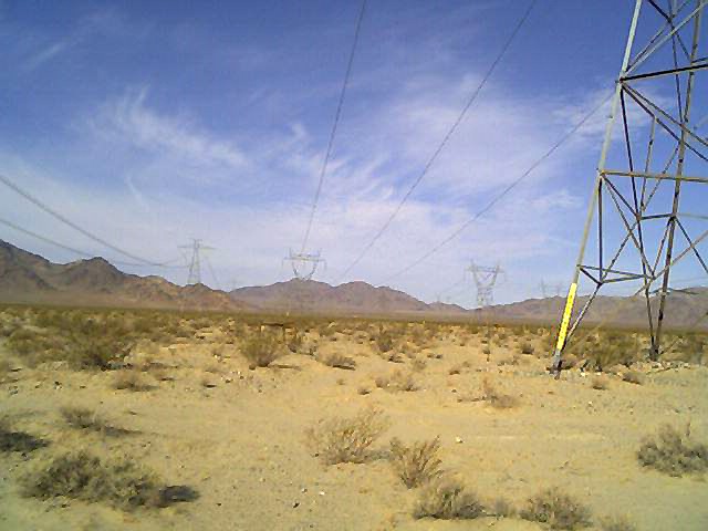
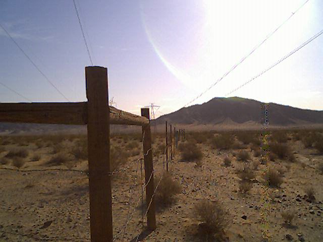
pwrline.jpg
- To get a feel for the way the power liness run right over the site,
here's a photograph showing just that. Two roads run through the rock
site, the main one running East/West, and the secondary one that cuts
North/South to access the power line towers.
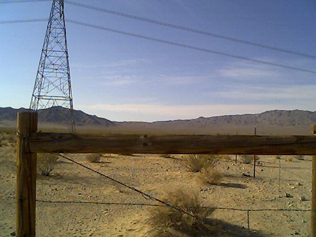
sojeep.jpg
- Here's a view of the South East enclosuree looking South. Far in the
distance is my jeep.
efence.jpg
- And a view of the North fence of one encllosure looking East.
descross.jpg
- One of the burrial sites people have placced in the general area. The
various crosses one finds are usually broken and blown down and on occasion
when I've had the steel guy wires, I'll put them back up and stake them
down so they don't blow down again. This one someone already did that
though it was still blown down when I came across it. None of the sites
are marked with any indication as to what people have burried there, and
there's no dates given that I've ever been able to find.
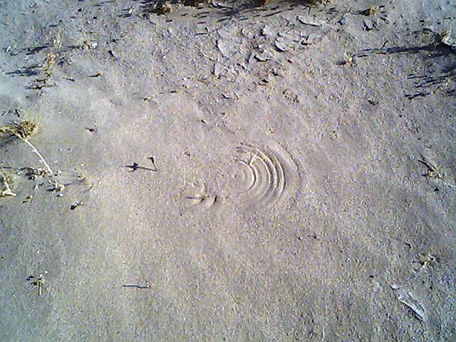
windring.jpg
- Here's an interesting phenomena. This shhows the general direction of
the winds in the area. You can see the fact that the winds have been
going almost due East due to the shadows however a compass would tell you
that the Sun is actually rising in the South East this time of year.
The shadows and the rings carved into the sand by the plant in the center
are pointing South East. Creationists would hate this photograph, I
suspect, since it shows how easily order is created from chaos without
the need for deity constructs.
leftfork.jpg
- So far as camping in the area is concerneed, this left (South) fork in
the road leads off into the desert though a 4-wheel-drive is highly
recommended. There is going to be an environmental station set up down
this road which will look at and record the kit fox population in the
area over the next couple of years to see if there's movement in the
population. The station will consist of merely a shelter for workers
who will conduct the census and perform other environmental recording
of the area.
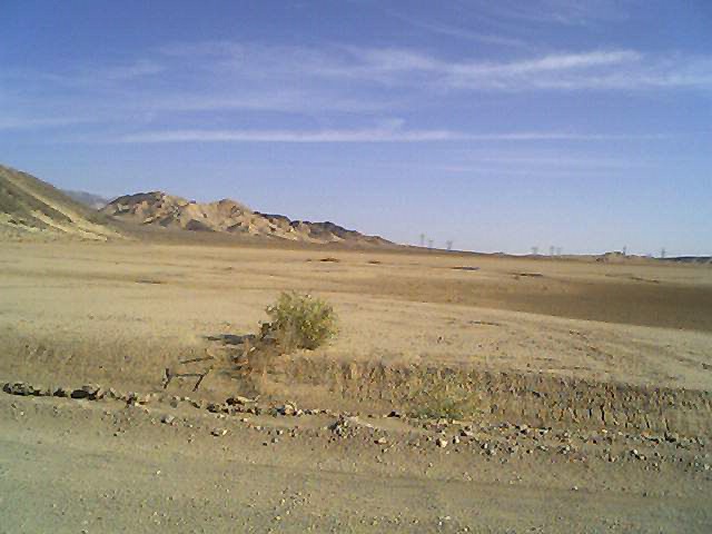
flroad.jpg
- A photograph of the "left fork"; heading off approximately
South West. After about three or four miles the dirt road comes to some
difficult ground which will stop most vehicles. The "road"
does continue on into some very old exploratory mine work areas. There
is nothing of interest out there other than the hike.
baldspt1.jpg
- Another question for environmentalists too look in to is whether bald
spots like these are on static or whether they grow or shrink over time.
These bald spots and the surrounding area have large numbers of kit fox
dens in them, more than the surrounding geology that has heavier
vegitation.
baldsp2.jpg
- Another part of the bald spot.
baldsp3.jpg
- Another part of the bald spot.
dessky1.jpg
- A look at the June sky.
dessky2.jpg
- Another loko at the June sky.
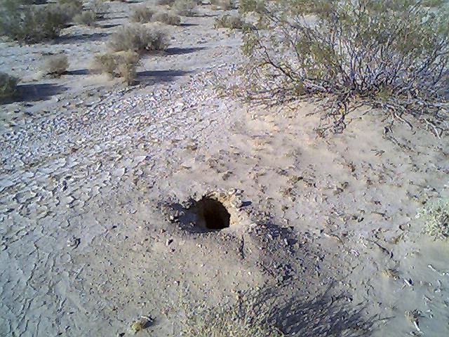
foxhole1.jpg
- Speaking of kit fox holes, most of the oppenings for dens are this size
and the kit foxes that can be seen at night appear to be fairly healthy
so does the occasional rabbit. There's no open water located anywhere
hear the area but a population of animals manage to survive.
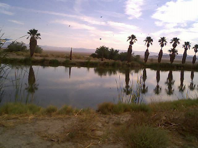
sillake1.jpg
- Here are a series of photographs of Silveer Lake, the dry lake bed that's
to the East of the rock piles about two or three miles.
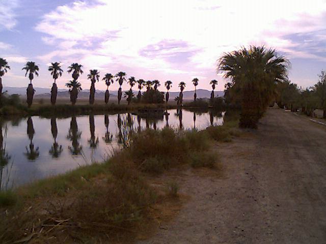
sillake2.jpg
- Another view of Silver Lake.
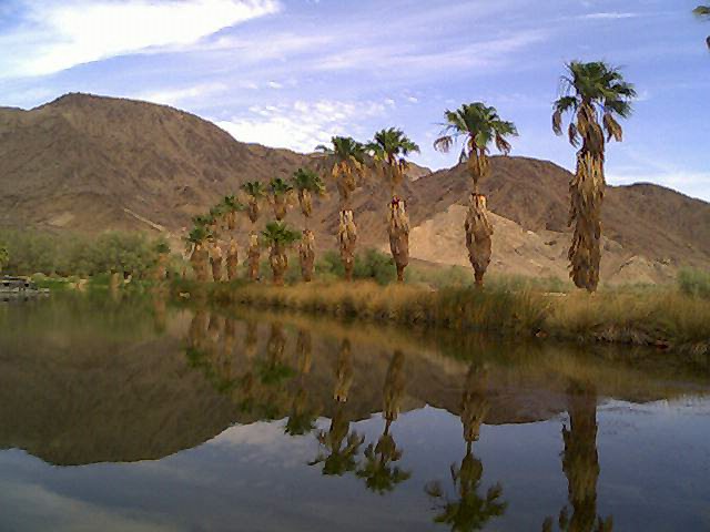
sillake3.jpg
- Another view of Silver Lake.
sillake4.jpg
- Another view of Silver Lake.
sillake5.jpg
- Another view of Silver Lake.
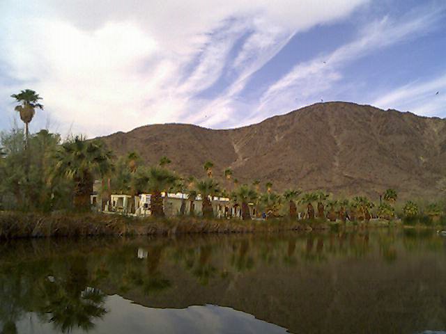
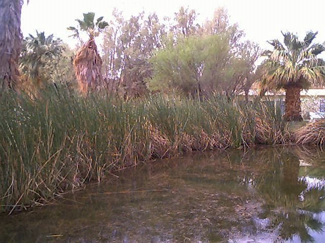
bilbong1.jpg
- Not related to the Indian rock piles but of interest to people who
have an interest in the history of the general area, here's a series of
photographs of the "bilabong" at Soda Springs, accessed by
taking Zzyzzx Road South off of highway 15.
bilbong2.jpg
- Another view of the bilabong. This locattion was used by the domestic
Indian populace until the U. S. Army came along and murdered all of the
Indians it could find, setting up a garrison at the spring to keep the
water out of the hands of the surviving Indians.
bilbong3.jpg
- A rather amusing cult set up shop at Sodaa Springs less than a hundred
years ago, selling the ignorant and the superstitious on the notion that
the minerals in the water had a curative effect. Though the cult didn't
engage in deadly quack medical frauds like other cults these days do
(such as the Scientology organization)
the Federal government eventually took the cult apart by applying tax
laws and, I believe, bunko laws which don't seem to be enforced these
days.
bilbong4.jpg
- Another view of the bilabong.
bilbong5.jpg
- And one last view of the bilabong.
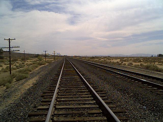
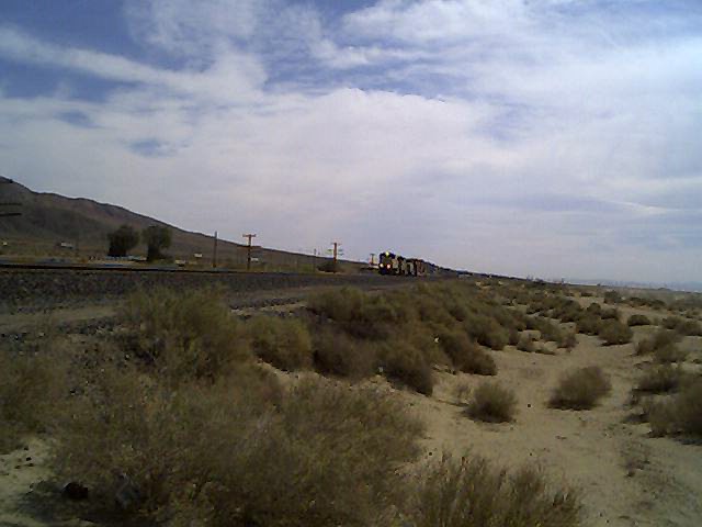
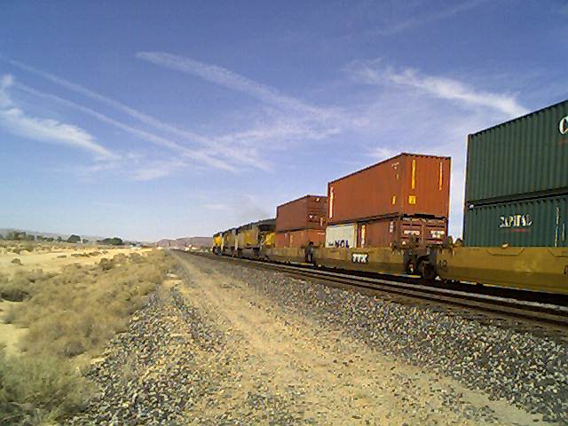
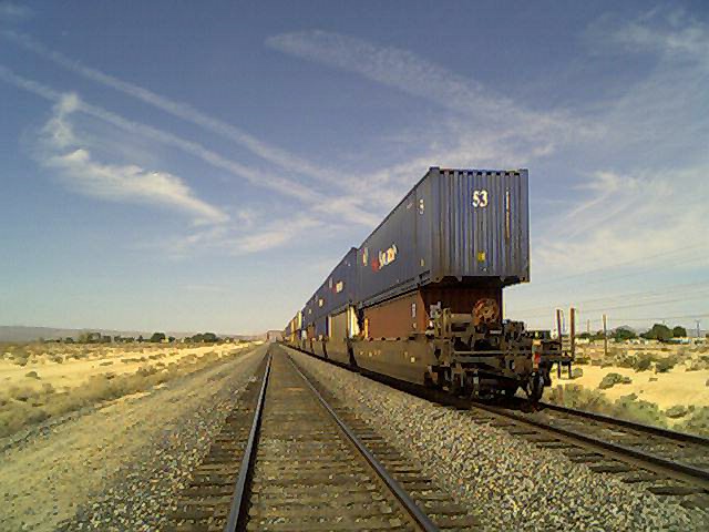
toyermo1.jpg
- Also not related to the rock piles but off interest to people that look
at the history of the area is the locomotive system which criss crosses
the Mojave desert. Here's a photograph of a locomotive passing East to
West getting ready to enter into Yermo, California which is West of
Baker which is itself South East of Silver Lake.
toyermo2.jpg
- Another photograph of the locomotive linee.
toyermo3.jpg
- Another photograph of the locomotive linee.
toyermo4.jpg
- Another photograph of the locomotive linee.
Back to the start of the Silver Lake Indian Rock Cairns web site