Rikinapuchi |
|
Length each way = 8.4 km. Exertion index = 300 going 355 returning. Maximum elevation = 2451 m.
8 km each way is a long walk for a canyon view but it's pleasant enough with pine forest and tidy farms along the way and no painfully steep hills. The sign on the highway promises a hot spring but none of the locals admit to knowing where it is. Driving from Creel toward Divisadero the trailhead is just a few meters short of the 10 Km mark on the left. 90 meters down the jeep trail is a space wide enough for two cars to park. Another place where you can park is 180 meters further down but the road is rough enough to require a pickup's road clearance. 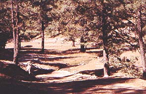
|
|
