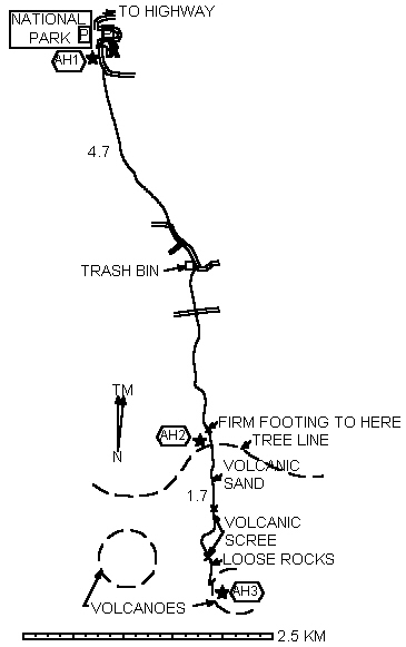
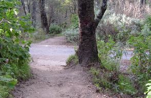
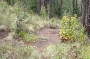
This hike is well into the strenuous range not just because of the exertion index but also because of the high altitude. Some of it involves volcanic sand but the footing is better than at Paricutín. The lower part is a well-worn trail in pine forest.
It gets a lot of traffic from capital residents who are more used to high altitudes than most foreign visitors. But most of them go only as far as the tree line.
A paved road zigzags across the trail at the lower part. Consider following it as far as the trash bin to reduce the amount of dust you'll breathe and to save your feet and ankles for the volcano.
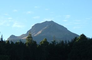
La Malintzi National Park is shown on some maps as La Malinche NP. There are cabañas to rent and a tent camping area. RV's can park overnight.
These driving directions are taken from Traveler's Guide to Mexican Camping by Church and Church 3rd Edition (Rolling Homes Press 2005).
There is plenty of room for big rigs once you reach the campground but the climb through the park probably limits really big rigs from visiting, we wouldn't bring anything over about 30 feet up here.
To reach La Malintzi head south on the road up to the volcano which cuts off Mex 136 at about the 130 Km marker [surveyor: slightly east of the 130 Km marker] between Apizaco and Huamantla it is signed for Teacalco. After 2.6 miles (4.2 km) you will reach the small village of Totolquexco. Turn left at the intersection and drive another 3.4 miles (5.5 km) to the gated park entrance. A ranger will let you in and then it is another 1.8 miles (2.9 km) to the gated campground entrance on the right."
|
 |
 |