Cerro Colorado |
|
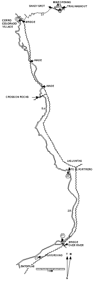
Batopilas to village: Length = 11.2 km. Exertion index = 475 going 305 returning.
Village to mine: Length = 2.7 km. Exertion index = 340 going 25 returning. Maximum elevation = 1017 m.
Good for mountain bikes as far as the village. The trail to Cerro Colorado crosses desert hillsides along the Munerachi River until you reach Cerro Colorado village. There are three stream crossings two of which require wading. At the village you'll see the gray scar of the mine opening above on the Cerro Colorado mountain. To see the mine up close cross the suspension bridge behind the village and follow the donkey trail up the hill (tough donkeys!). If you go inside be sure to have your flashlight because there are pits awaiting you in the gloom. On the way back if you underestimated your water consumption you should be able to find water or soft drinks at the tiny store at the far end of the village on the left side of the lane. This trail is the first part of the trail to Urique a multi-day trek. 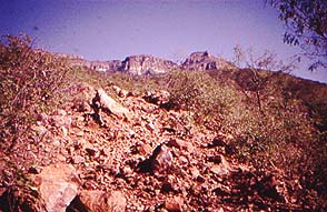
|
|