 |
 |
 |
 |
 |
 |
 |
 |
| Still aglow with the vision of the Brooklyn Bridge, my next target was Neely. Fagan had brought me to Neely long ago when it was just a dot on the road. Upon arriving, I had looked at him and asked, "Why are we here"? I saw a self-searching overtake him. After a while I could tell that the answer would not be forthcoming. Then he said, "Stay here", and he left in a cloud of dust. After a while, me sitting "in" Neely, he returned to announce, "We don't want to go down there". After a period of intense GPS evaluation, we headed down an alternate way away from Neely. I needed to get back there, not only to monitor its condition, but to see what Fagan had found that repulsed him enough to call off what he had evidently planned as a part of our course. Fagan draws these routes out and they are to be followed. What had steered him from his appointed path? He has never said. I would find out. |
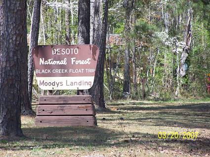
| I left Brooklyn on the Brookyn Janice Road. The woods closed in around me. Spring was everywhere and the weather was perfect. As I said, a tee-shirt was the ticket. I passed the NF sign saying "Landing" and of course, "Landing", being one of my keywords, I immediately U'd my route and turned in. Maintenance people were everywhere, motorized stuff was humming like a flock of mosquitoes. I exchanged greetings with a female mainteneer and both expressed the wonderment of the day. I then went on down the sandy road to the expected "landing". |
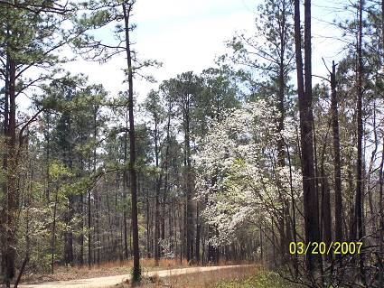
| The dead of winter was being replaced by the glory of Spring. |
| You know I took about 15 pictures of this place. I get carried away and when I finally get around to posting them I realize that they, in their small version, do not translate that well. So you get one. |
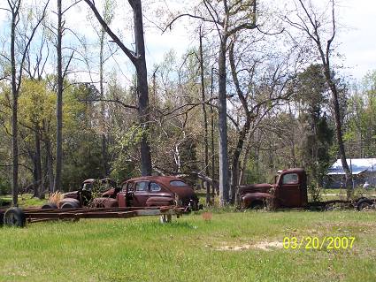
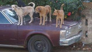
| Continuing on, I passed what I refer to as "Mississippian Personal Museums". He could have fenced up his yard and kept all the good stuff to himself, but no, generosity and public responcibility have moved him to share his momentoes with us, his greatful public. There will be more MPM's coming up. |
| I saw what I believe is a 1940 Ford four door coup. The truck is probably an early Fifties Ford. I just didn't linger because: |
 |
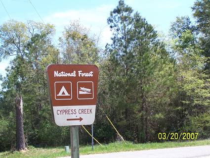
| At Janice, I turned south being lured by yet another FS sign. Yea, I can be had and it doesn't take much. I left the main road and headed down a sandy dirt one. |
| The Dogwoods were magnificent. Again, the picture just can't do them justice. |
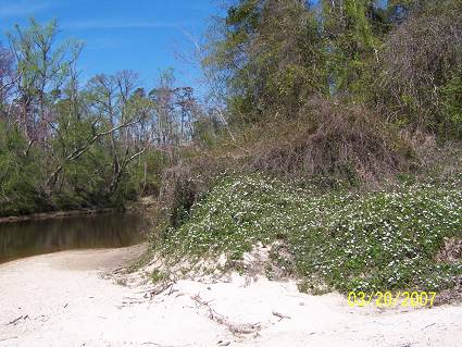
| Now that is a great campground. It even has flush toilets, tested and approved. Nice beach and plenty of camping spots, some on the bluff overlooking Cypress Creek right before it joins Black Creek. . |
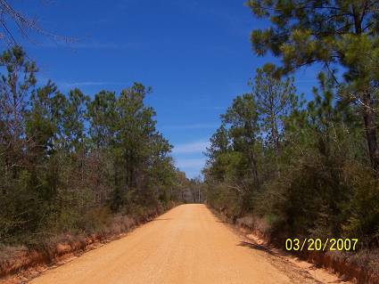
| I returned to the main road, knowing that this lay ahead. I had come too far to backtrack. I felt Mz Guzzi shake, not a good sign, especially with my paranoia about her consition. There are no cellphone relays down that road. It didn't look too far to a main highway, so I continiue. Gravel Smavel. |
| At Deep Creek, I found the paved road and went north. |
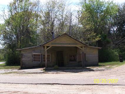
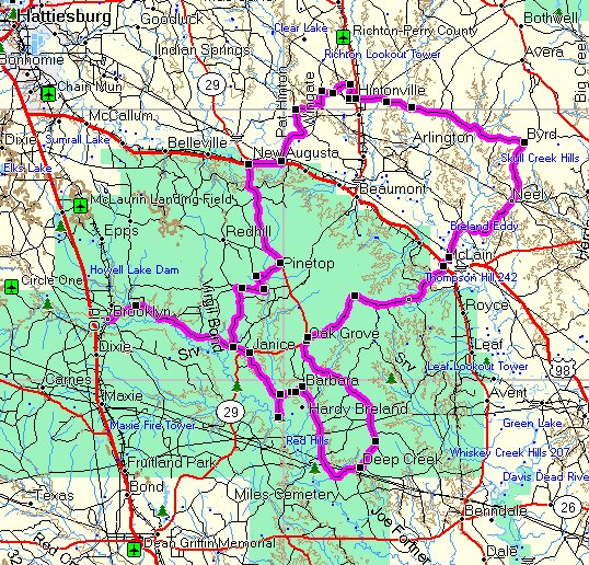
| At Oak Grove, I shot the old store. I'll call it the "Oak Grove Store". Leaving Oak Grove, Progress Road was hard to find, but I did. It appeared to be an abandoned route, but I think I was just on a side road to it. Nevertheless, a new adventure would begin. I'm leaving this page open so you can follow the map. A new window will open, it is not a pop up but the continuation of the trip. Whew! |
| Fagan just wrote with this addition: "Lots of folks mistakenly pronounce Janice Landing as, well Janice. The locals pronounce it JAN-Ese. It was a timber landing once upon a time. Now it is heavily used as a canoe landing by several outfitters and General Public (whomever that is)". |