 |
 |
 |
 |
 |
 |
 |
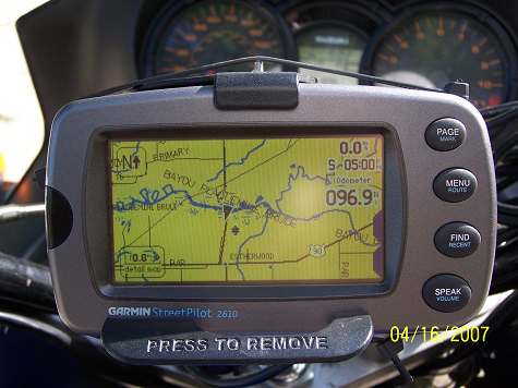 |
| At this point on the map, there is a fairly large area between I-10 and US 90. Plaquemine Brule flows there. The bayou has asserted itself. From I-10, it is downhill. That 49 feet we had back of Lewisburg will dwindle to 16 feet above sea level once we hit Esterwood. |
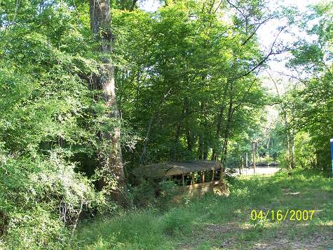
| Hey Ray Daigle, we can ad this one to our collection of old school busses. Wait till I tell you what I know about this one. |
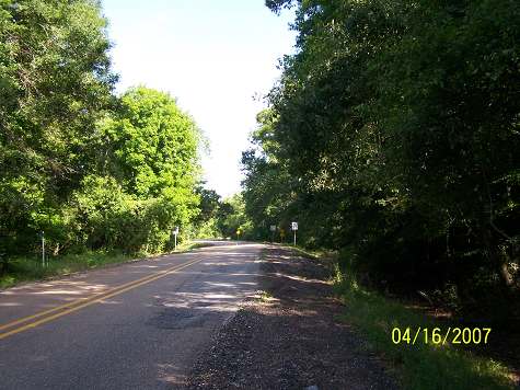
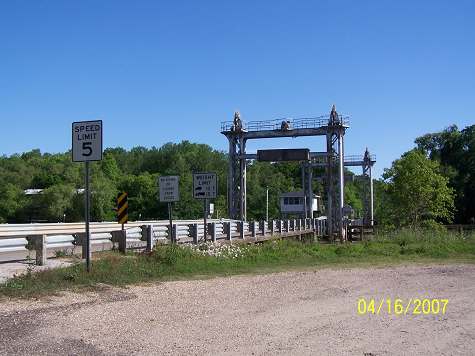
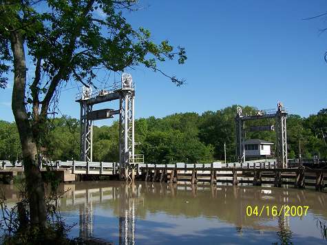
| Once there was a one car ferry here. I've crossed on it back in the early 70's. Now it's a one lane bridge. Progress. |
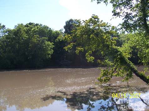
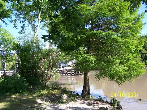
| Miss P.B. was slowing down like all great waterways do when they approach sea level. She had lost her youthful, mountain stream appearance. |
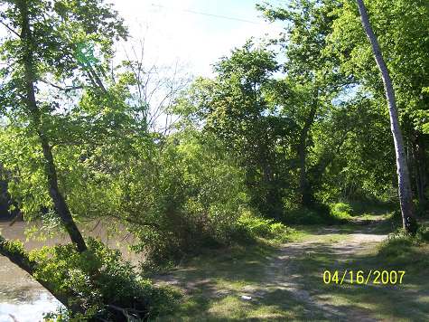
| Yea, I could get pulled down that trail. I fought it since it was after 5:oo. |
| This is a pretty place and worth a stop and browsing. It is also another reason to carry a folding chair, fishing pole, ice chest and hope the fish don't bite. |
| Here's a world class picture. Print it and use it as a Louisiana Postcard. |
| Brule is now running east to west. The black triangle marks the bridge's location. US 90 lies to the south. We're headed there next. |