 |
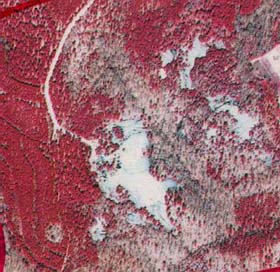
| Portion of NHAP infrared photograph of Forty Acre Rock (1989). Area shown is outlined in the map below. |
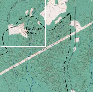
| 40 Acre Rock |
| Portion of topographic map of Forty Acre Rock from Taxahaw USGS quadrangle (1969). |
| This is another great place in South Carolina. Great for sky viewing. Which is why I am puting it up. People claim to have saw lights in the sky here. It really is a great spot to go sky watching. You can see really great because its out in the country and away from the city. This will also be under investigation by us. We'll tell you what we see. Check out some of our pics of the rock below. Also there are 2 maps showing the area. |
 |
 |
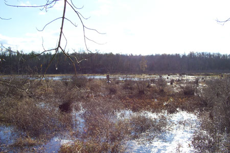
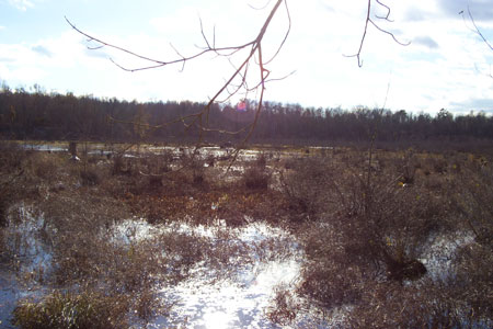
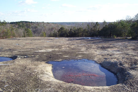
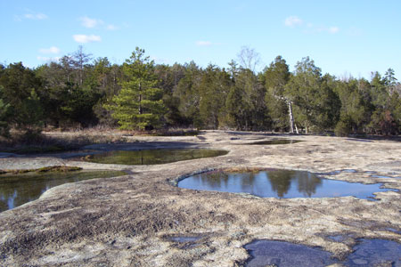
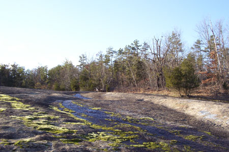
| These are 2 pics of the wetlands below the rock. |
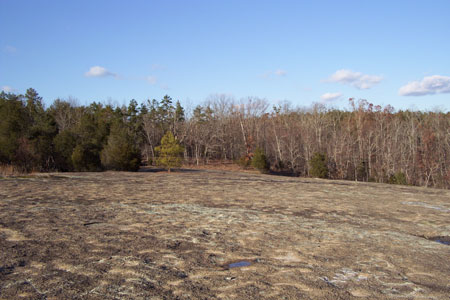
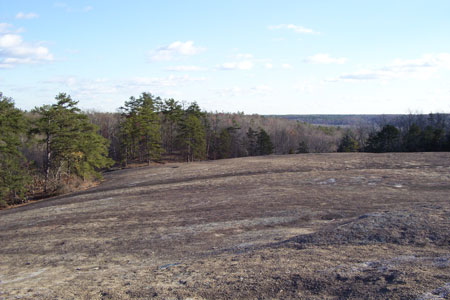
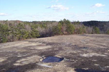
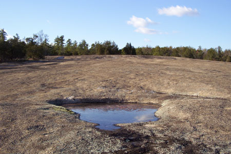
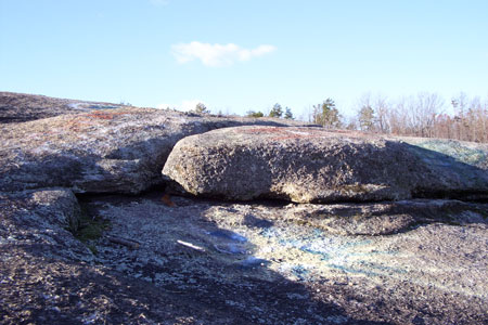
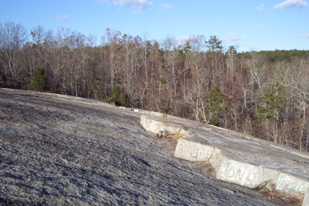
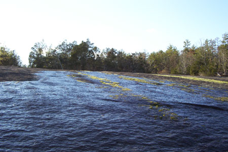
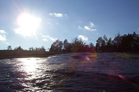
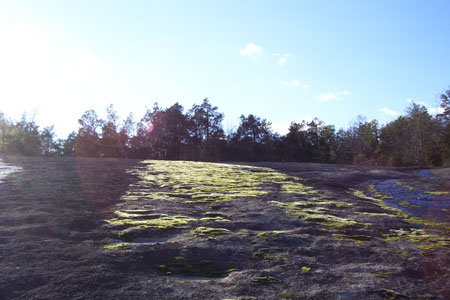
| Here are 12 pics we took at the rock. |
| For more information about the rock and the surrounding area go here. |