|
|
|
|
|
|
|
|
|
|
|
|
|
|
|
|
|
|
|
|
|
|
|
|
|
|
|
|
|
|
|
|
|
|
|
|
|
|
|
|
|
|
|
 |
|
|
|
Maps |
|
|
|
|
|
[Home] |
|
|
|
(Click on maps to view in larger size) |
|
|
|
|
|
[Back] |
|
|
|
 |
|
|
|
 |
|
|
|
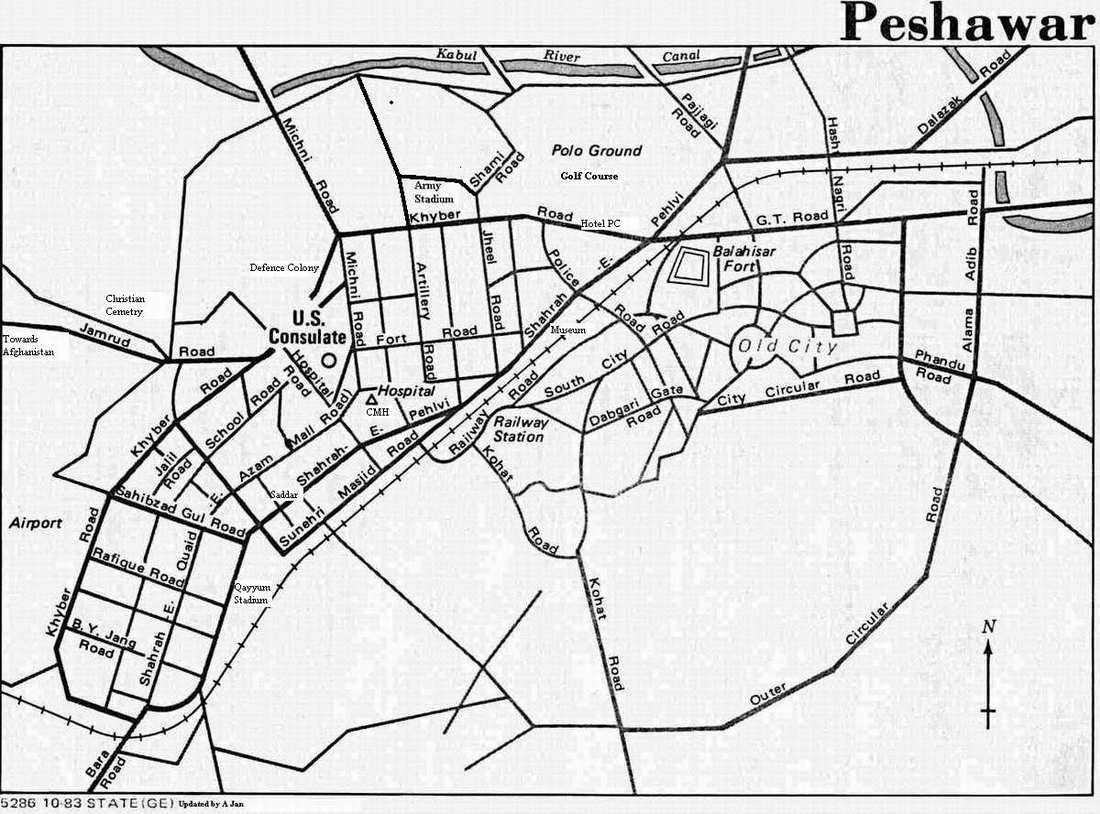
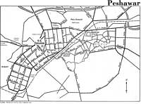
Map of Peshawar Cantonment (Showing major streets & roads - Courtesy UT 1989 - updated 2002) |
|
|
|
|
|
|
|
|
|
 |
|
|
|
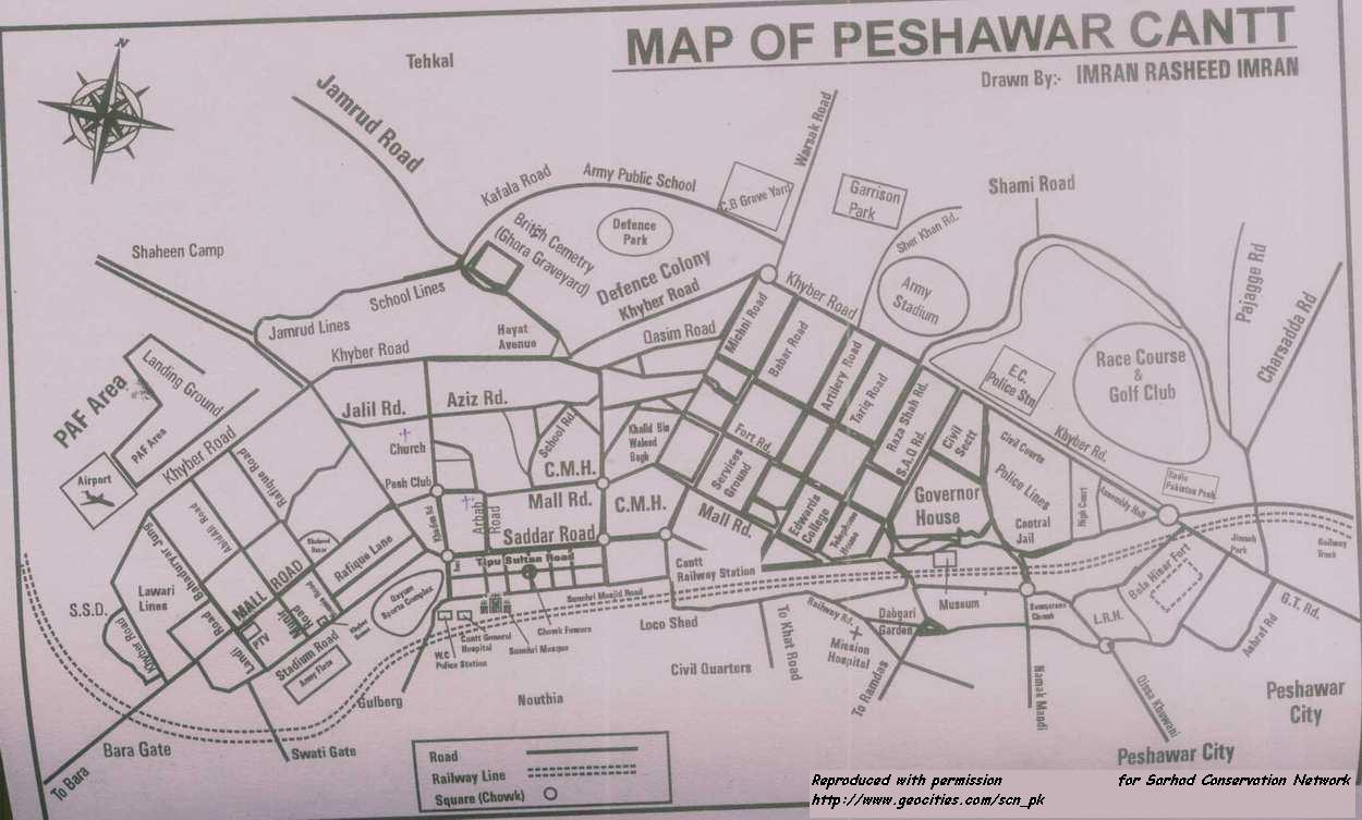
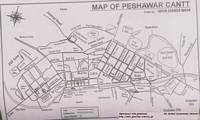
Map of Peshawar Cantonment (By Imran Rashid Imran 2002) |
|
|
|
|
|
|
|
|
|
 |
|
|
|
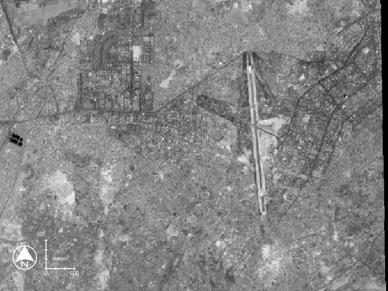
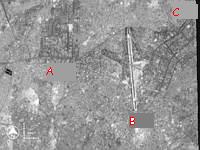
Satellite Image of Peshawar from space (A: Univ. of Peshawar B: Airfield C: Cantonment) |
|
|
|
|
|
|
|
|
|
 |
|
|
|
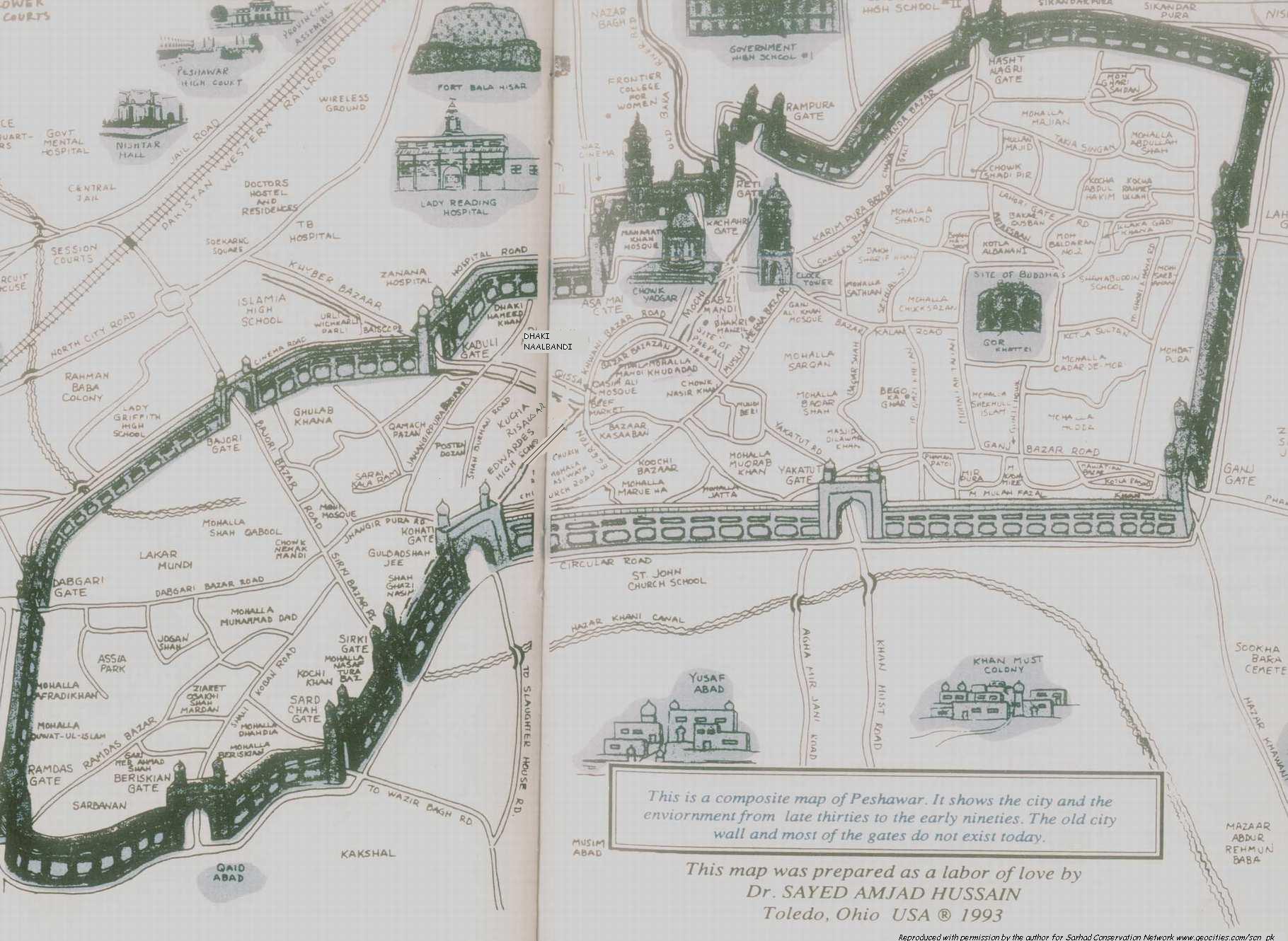
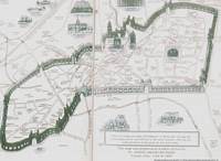
Map of Walled/ Old City (Magnified view indicating important landmarks from late 19th centuary through 1993 By S Amjad Hussain 1993) |
|
|
|
|
|
|
|
|
|
 |
|
|
|
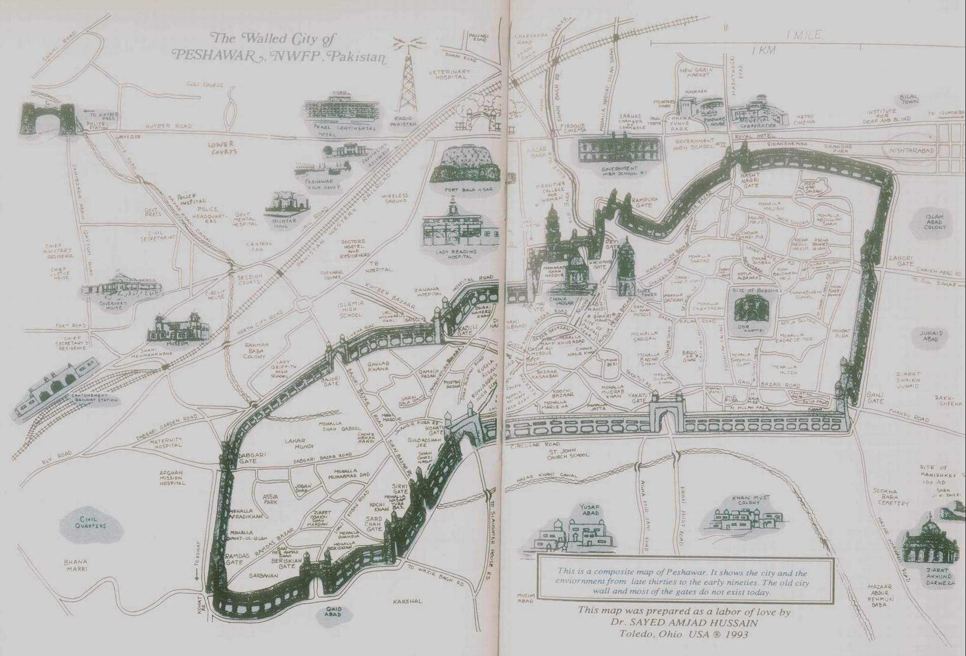
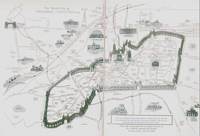
The Walled City of Peshawar (Detailed view includes parts of Cantonment By S Amjad Hussain 1993) |
|
|
|
|
|
|
|
|
|
 |
|
|
|
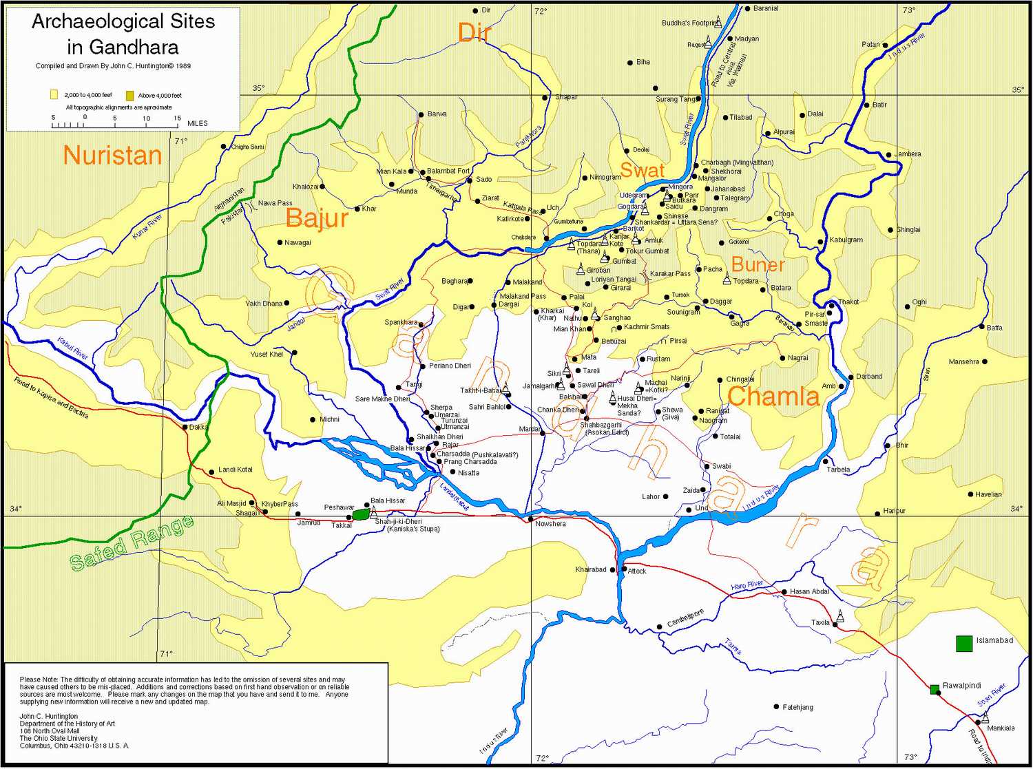
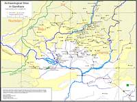
Archaeological Sites in Gandhara (Compiled and drawn by John C. Huntington 1989) |
|
|
|
|
|
|
|
|
|
 |
|
|
|
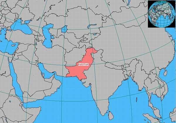
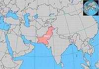
Overview of Pakistan in Asia |
|
|
|
|
|
|
|
|
|
 |
|
|
|
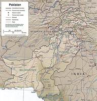
Map of Pakistan |
|
|
|
|
|
|
|
|
|
 |
|
|
|
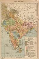
Historical Map of India (Showing mughal empire and British & French possessions 1700-1792) |
|
|
|
|
|
|
|
|
|
 |
|
|
|
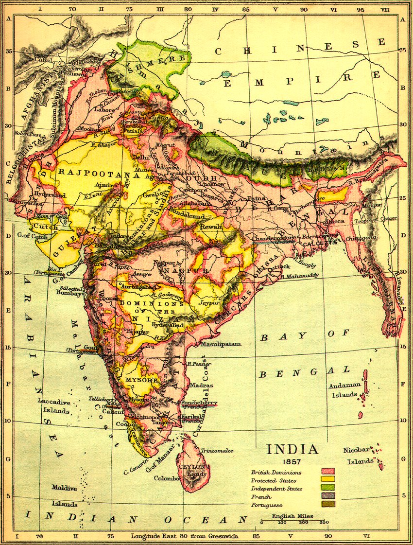
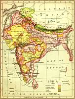
Historical Map of India (1857) |
|
|
|
|
|
|
|
|
|
(If you have any local maps to contribute to our website please click here) |
|
|
|
Copyright �2002 [Sarhad Conservation Network]� All rights reserved |
|