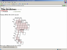
Satellite Exploration of Thailand > Satellite Image Resources
|
 GeoZoom |  | 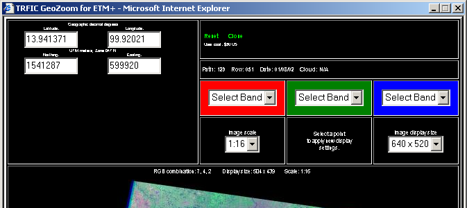 |
| GeoZoom can ... | GeoZoom can't ... |
|
You can select following image features: 1. Color Combination (RGB = 2, 3, 4, 5 or 7) 2. Image Scale (1: 1 - 1: 32, in terms of the original Landsat image resolution) 3. Image Display Size ( 256 x 256, 460 x 460 or 640 x 520 pixels) GeoZoom shows geo-spatial coordinates of the exact location your mouse is pointing in the view window, in both the latitude/longitude format and the UTM format. |
Bands 1, 6 and 8 are not available. Maximum image size is limited to 640 x 520 pixels. GeoZoom doesn't offer scroll bars to pan the image, so you must re-center the image with a mouse click. |
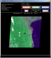 Image Browser | | 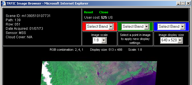 |
|
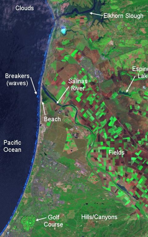
A sample image from "An Introductory Landsat Tutorial" / Path 44 Row 34 ETM+, RGB=742 (?), 1999 |
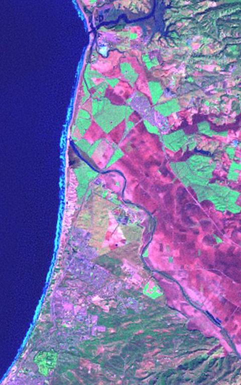
Corresponding image from the GeoZoom ETM+, RGB=742, Jan 1, 2001 |
 |  |