| Download File: | N14E101.hgt.zip | ... 1,404KB | |
| Unzipped File: | N14E101.hgt | ... 2,818KB | |
| Area Coverage: | N14 - N15 x E101 - E102 | ||
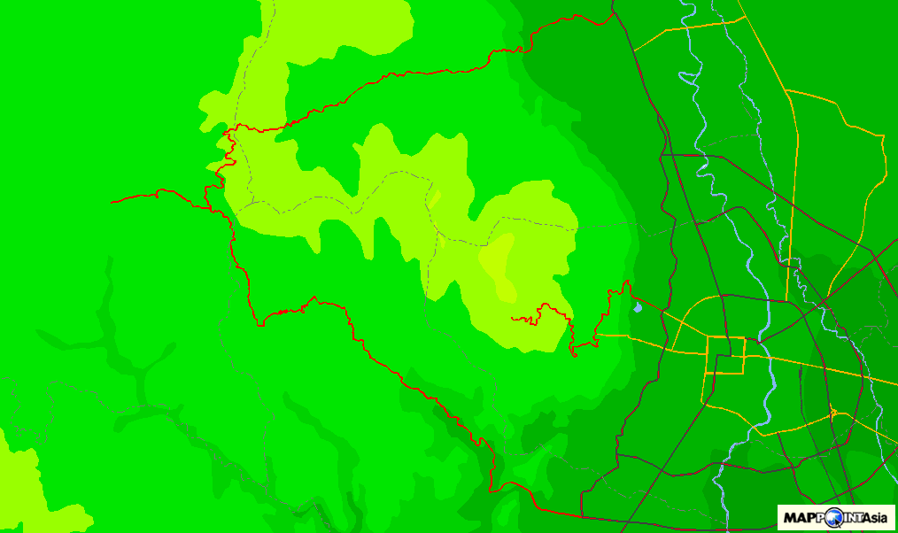
Area Coverage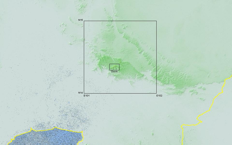 |
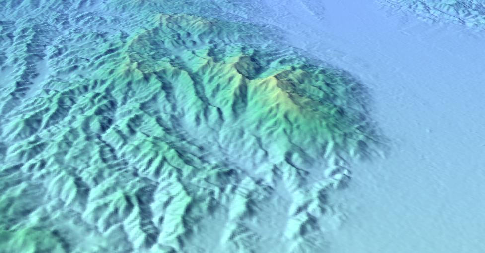
Resolution |
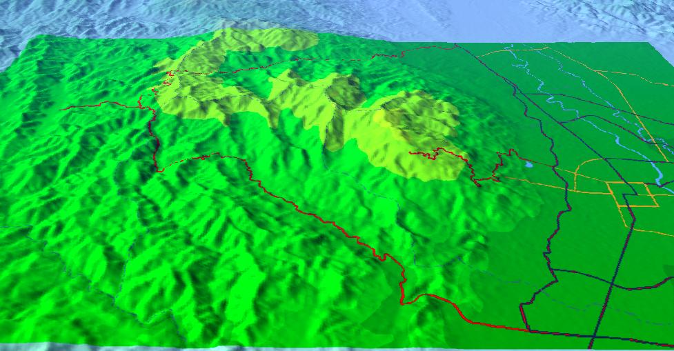
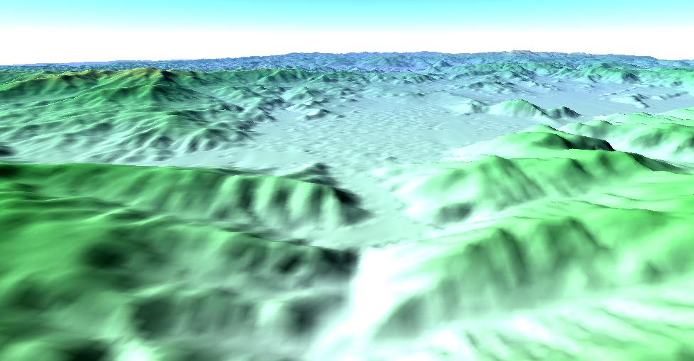
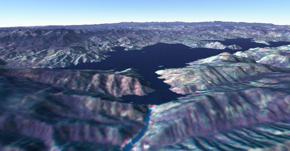
3D Display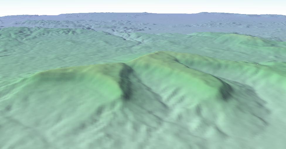 |
Satellite Exploration of Thailand > General
|
SRTM Homepage http://www.jpl.nasa.gov/srtm/ Data File Download ftp://edcsgs9.cr.usgs.gov/pub/data/srtm/ |
Example - Around Khao Yai
|
|||||||||||||||||
|
|||||||||||||||||||||||||||||||||||||||||||||