Please be patient as this page may take a few minutes to load.
To return to the main page push the Back button on your browser.
| Mount St Helens | |||||||||
| These photos were taken during my trip to Mount St Helens May 26, 2001. Please be patient as this page may take a few minutes to load. To return to the main page push the Back button on your browser. |
|
||||||||
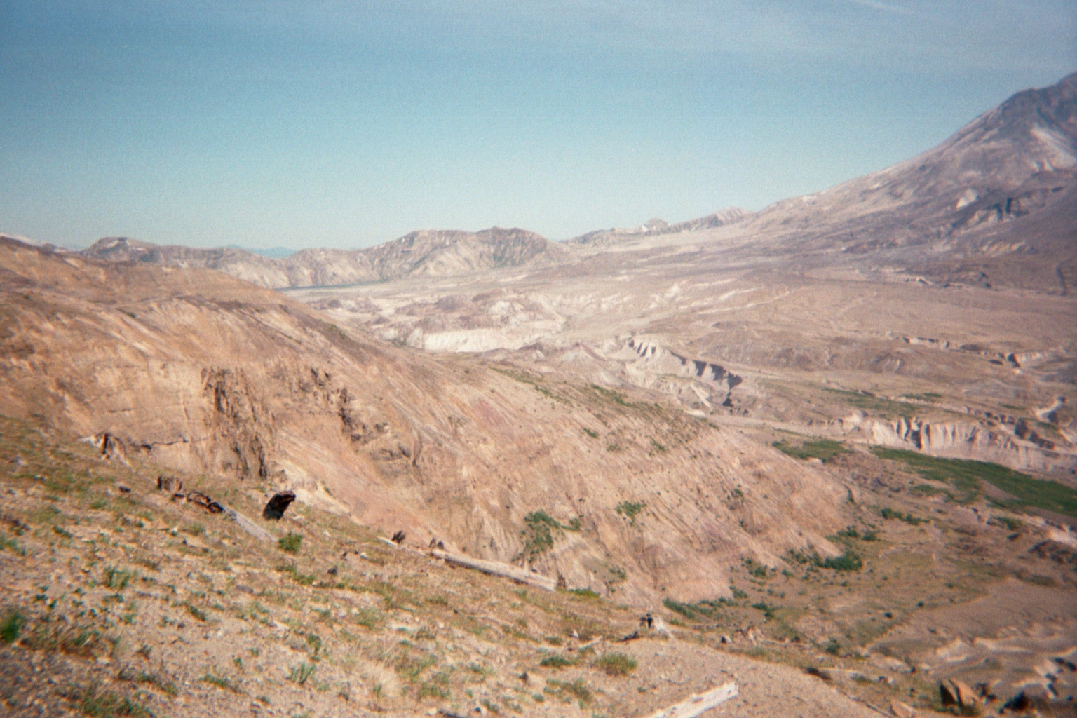
| Pyroclastic blast area, Johnson Ridge Visitor Center. Mount St Helens is to the right. Notice how the landscape is scoured even after 21 years!! | |||||||||
|
|||||||||
|
|||||||||
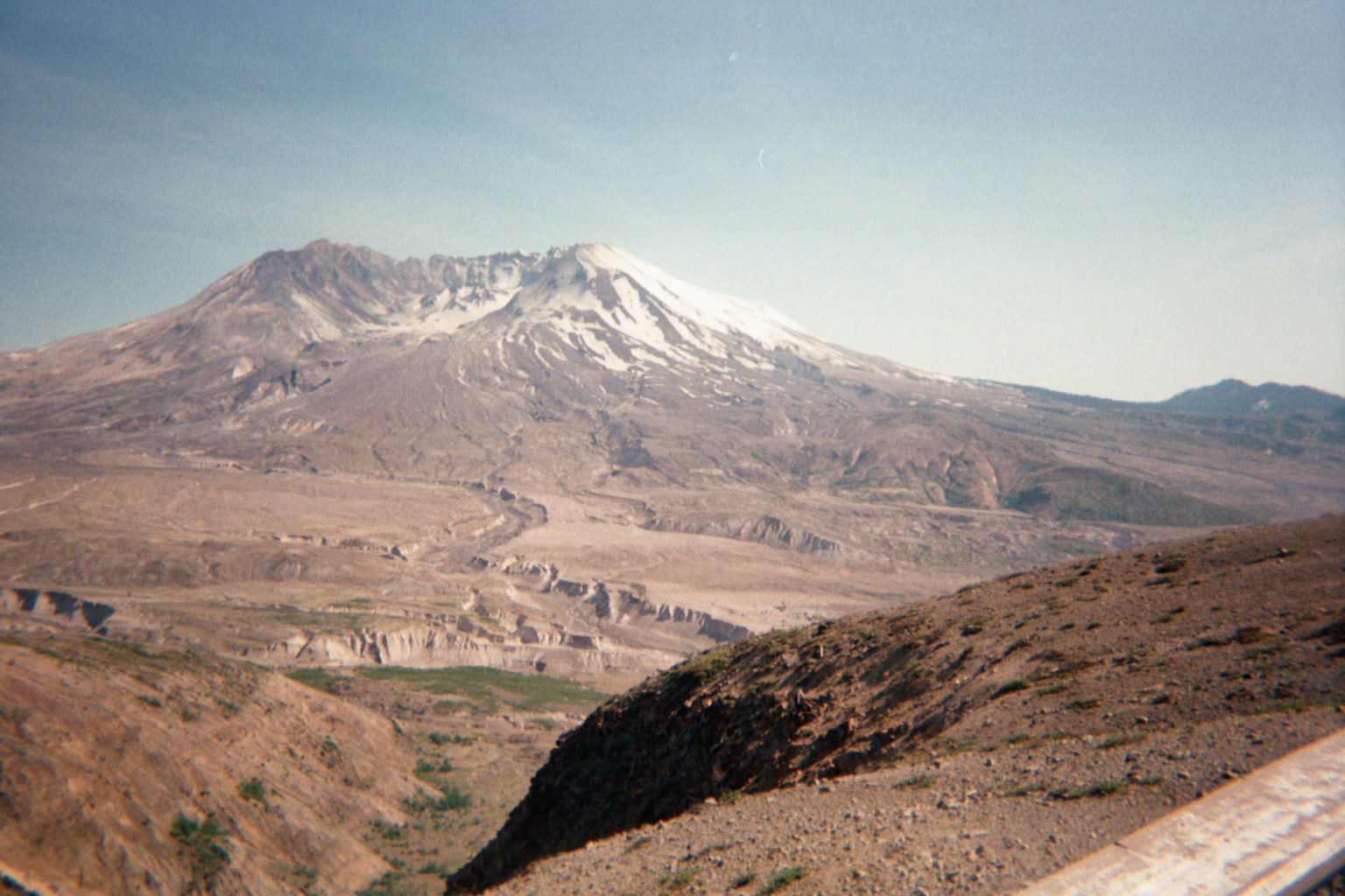
| Mount St Helens, Johnson Ridge Visitor Center. 5.5 miles from the volcanic crater. Notice the lava dome in the center of the crater. To get an idea of how much of the volcano was lost during the eruption, picture a triangle with equal sides. Fit the base of the triangle so the bottom edge and points are equal to the top edge of the crater. The part of the triangle that goes up is roughly equal to the height of Mount St Helens before the eruption!! | |||||||||
| If you look closely along the ridgeline on the left of the photo, you can see fallen trees from the pyroclastic blast. Johnson Ridge Visitors Center. | |||||||||
|
|||||||||
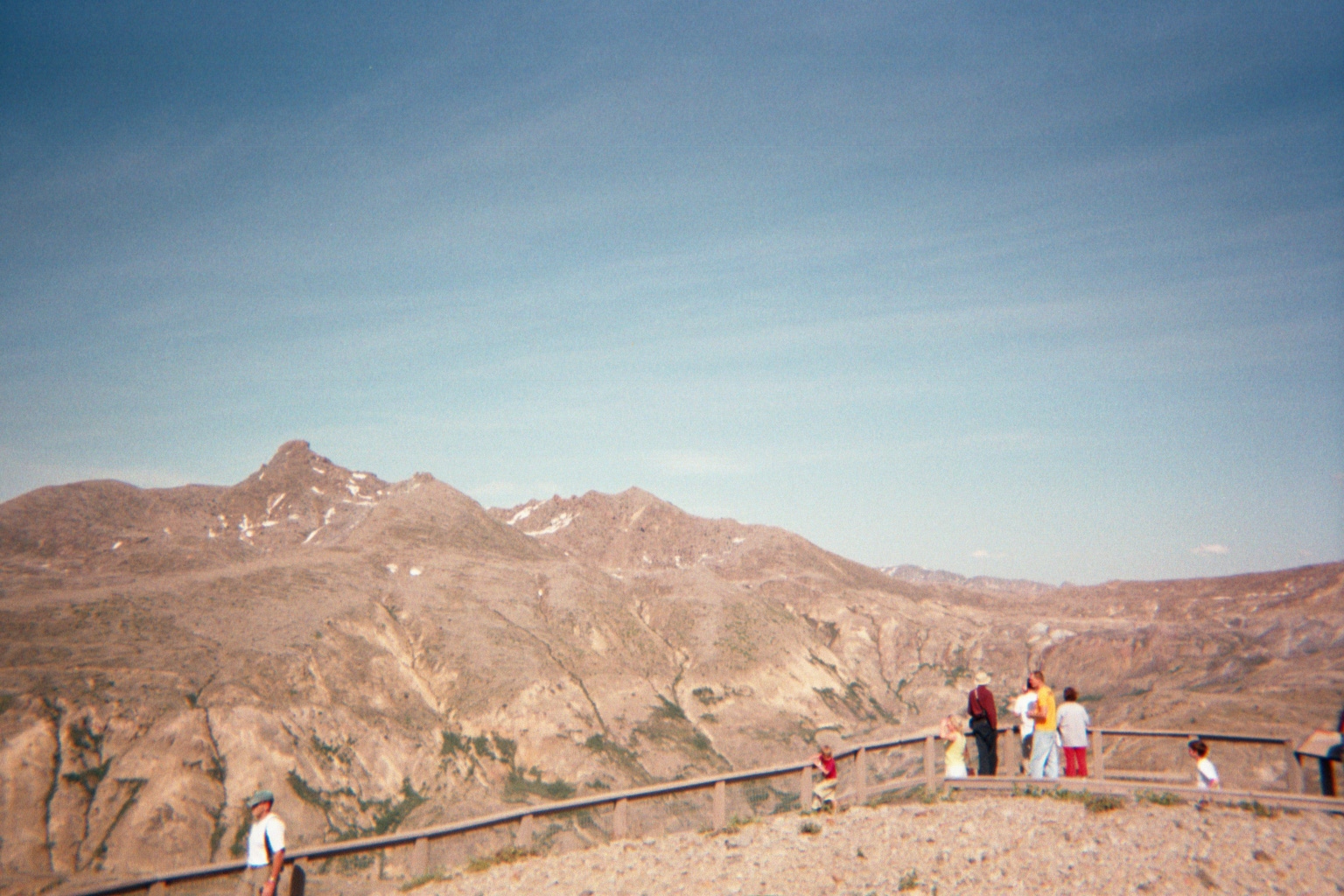
| Scoured landscape from pyroclastic blast to the left of Mount St. Helens. The white snow-capped mountain to the left is Mount Adams. What remains of Spirit Lake is hidden behind the ridge. | |||||||||