 |
|
|
|
|
|
|
|
|
|
|
|
|
|
|
|
|
|
|
|
|
|
|
|
|
|
|
|
|
|
 |
|
|
|
Geography |
|
|
|
|
|
 |
|
|
|
 |
|
This is the world map there are 6 diffrent continents there are the north america
south america,Africa,Europe,Asia and australia There are some famous seas like the parcific and the indian Did you know asia is the biggest continet in the world
We also have the north pole and the south pole where it is cold and africa were it is warm. |
|
|
|
|
|
So do you watch the weather forcast on T.V. Sometimes they gives a great desciption around the world on T.V Today I am going to help you with a few brief notes. So Here we go!!!! |
|
|
Weather |
|
|
|
|
|
|
 |
|
|
|
 |
|
|
|
|
|
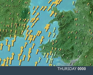
Now this picture above the text shows how heavy the wind its the bigger the arrows the heaver the wind gets. |
|
|
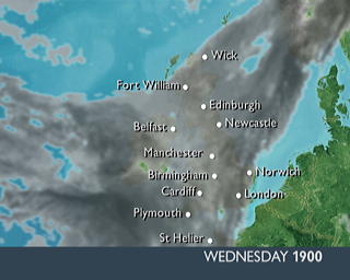
This picture shows the clouds Its shows that the lighter the cloud the cloud there is the darcker the cloud the more cloud and gets darkermore quickly because of cloud cover. However this picture is called a saterlite is show what happening now in the picture. |
|
|
|
|
|
|
Now on my left We have a tempture gage. Which show how hot or cold it is. |
|
 |
|
|
|
|
|
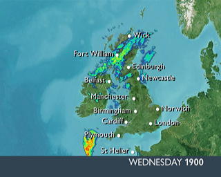
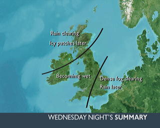
Now this picture on the left below this text is a radar picture and shows How much rainfall and also what is happening at the present moment.Also below me is a Weather forcast re-view it is called a surmmary. |
|
|
|
 |
|
|
|
 |
|
|
|