Highest point in Southern California (permit required)
25 miles north along Highway 38 from Redlands, CA (jenks lake rd)
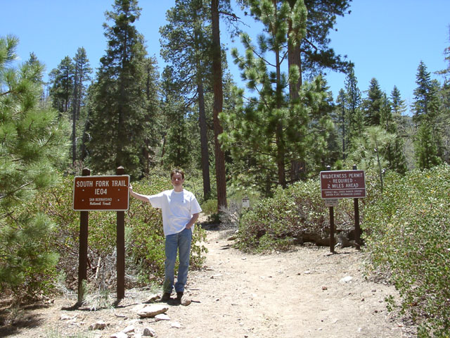
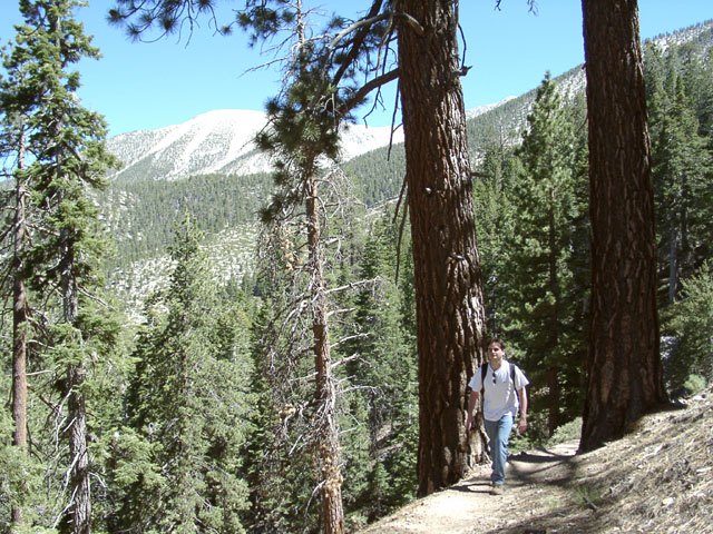
just after this pic the trail splits in three - take the middle path
you'll soon enter the official san gorgonio wilderness for which you need a permit.

the entire loop is 23 miles and can be done in one day if you start hiking around 8 during the summer.
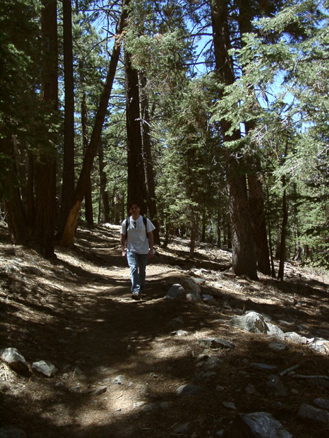
3.75 miles, 8100 feet.
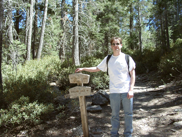
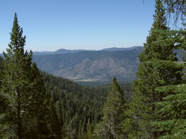
about 5 miles, 9000 feet.
about 5.5 miles, 9500 feet.
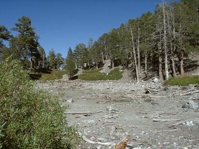
this is supposed to be Dollar Lake - however its all dried up!!
usually its very beautiful and worth the 0.6 miles from the main trail.
5.75 miles along main trail and then 0.6 miles down - 9219 feet.