back to prip
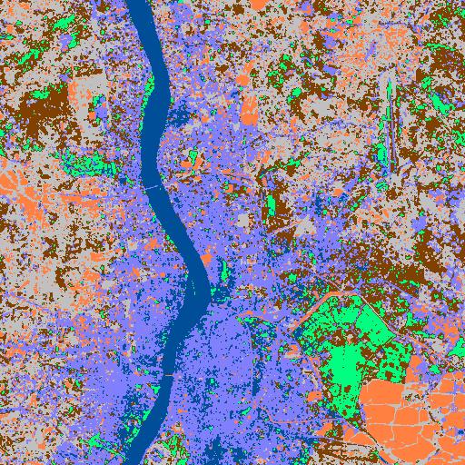
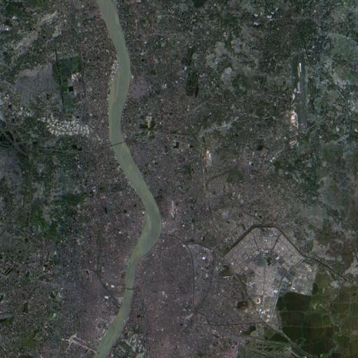
Here is the output for a sample run of K-Mean Classification Technique over the satellite image of Kolkata.
One can easily notice that this technique gives much better result than the basic Bayes Classification Technique and the K-NN Classification Technique.
It clearly identifies the Ganges river and other water bodies on Kolkata's map. It also identifies the other regions like greenary, swamps, concrete building, etc.