October on Fire Island
Page 5
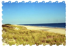 |
This is from top of the stairs looking down the beach towards the east. |
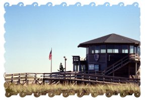
| This is the information/welcome center for the National Seashore. That is the start of the boardwalk. The path to the ocean is on the far side of the building. |
|
|
|
Again, this picture just called to me
to be taken. I was amazed with all the wind that all the tops were
not blown away.
|
| For those of you who do not know where Fire Island National Seashore, here is a map. There are only two bridges to get on the island. One at the east end, where I am and the other at the west end. Just to the right of the map the island ends, and the barrier beaches which form the Hamptons begin. To get to all those other towns you need to take a ferry. Most ferries leave from Sayville and Patchogue. | 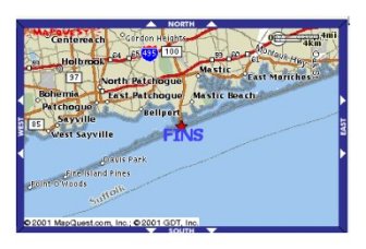 |


Previous page |
|
| Return to directory |
