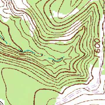
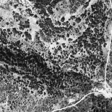
This is the topographical map and satellite photo, it shows the area I'm hoping to flood. It may take some time to load, depends on your connection. It gives you a good idea of the size of the lake, it should range from 10 to 12 acres, I'll settle for 5. One inch represents 500 feet.