Nimba County Liberia West Africa

Map of Nimba County
Map of Nimba County
LLocated is in northeastern Liberia, Nimba County shares borders with the Republic of Côte d'Ivoire in the East and the Republic of Guinea in the Northwest. Its capital city is Sanniquellie and its most populous city is Ganta. With the county's area measuring 11,551 square kilometres (4,460 sq mi), Nimba is the largest of Liberia's 15 counties. The county has six statutory districts. As of the 2008 Census, it had a population of 462,026, making it the second most-populous county in Liberia
The main ethnic groups in Nimba County are the Dan, also known as Gio and the Mano. The Dan, commonly known as the Gio, live closer to the Cote d'Ivoire border. In that French-speaking country, they are known as the Yacouba. The Mano live closer to the Guinea border.
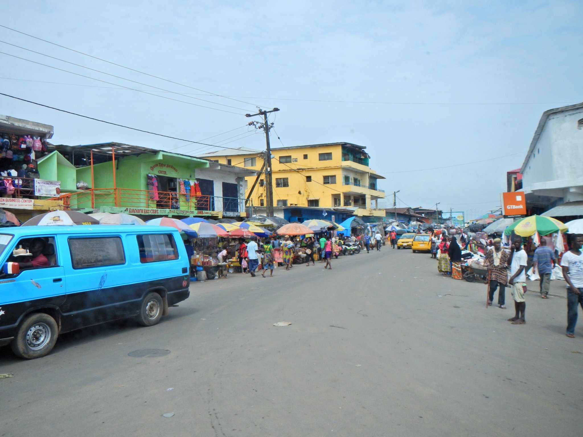
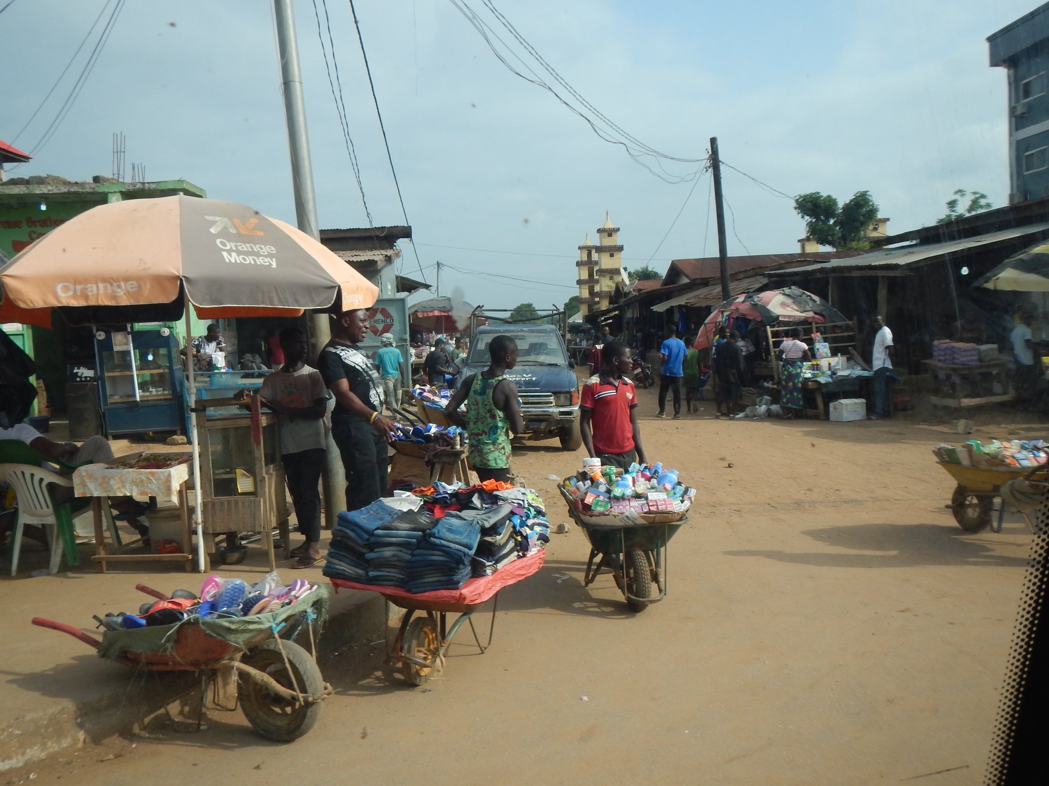
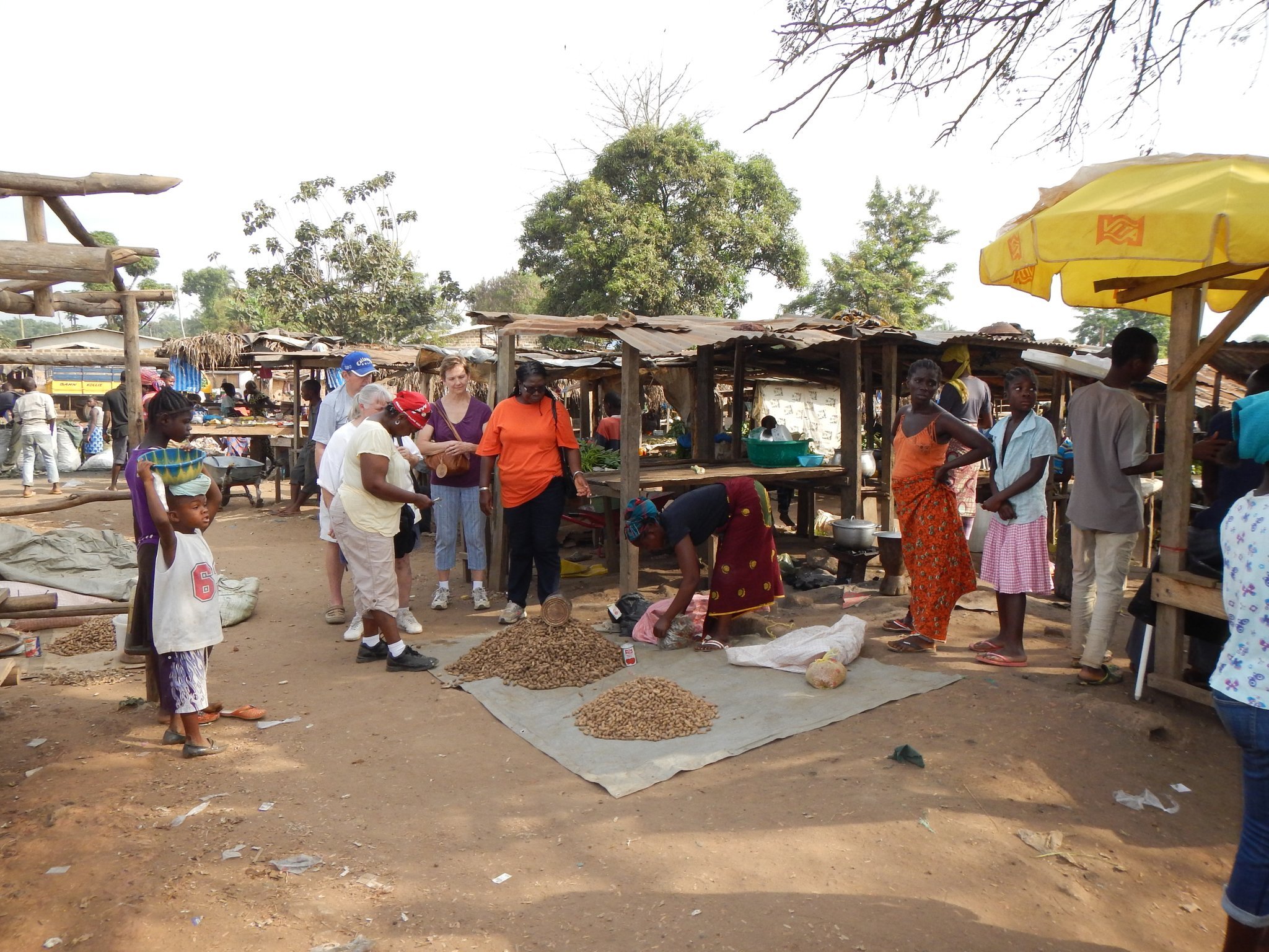
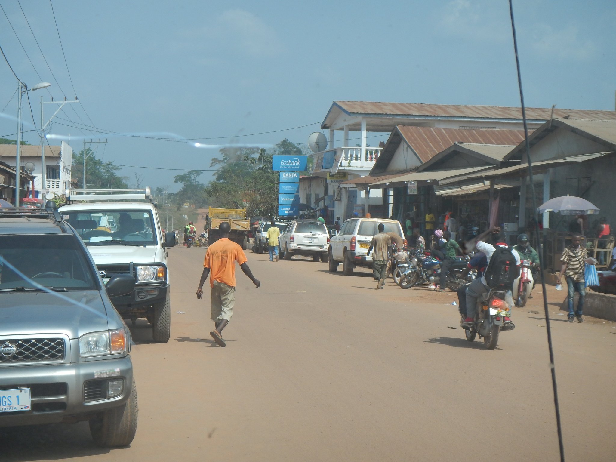
Ganta, also known as Gompa City, is a town approximately 201 miles from Monrovia in Nimba County of northern Liberia. It is located just south of the Guinea border. It is the second-most populous city in Liberia, with an estimated population of 41,106 as of 2008. A bustling market town, it contains a prominent white mosque, noted for its decorated minarets of carved stars.
Liberian institutes providing higher education include the University of Liberia (1951) in Monrovia, Cuttington University College (1889; Episcopalian) in Suakoko, and the William V.S. Tubman College of Technology (1970) in Harper. There are several vocational schools, including the Booker Washington Institute at Kakata, a government school. Nimba has the Gipo Vocational Technical Institute.