
Chiang Rai
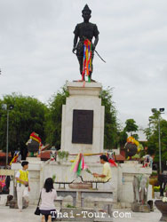
Chiang Rai province covers some 11,678 square kilometers with a population of 1.23 million at an average elevation of 580 meters above sea level, Myanmar borders on the north, and Laos on the north and northeast. The provincial capital is 785 kilometers north of Bangkok. Chiang Rai was founded in 1262 by King Meng Rai and was the first capital of Lanna Thai (Kingdom of a Million Rice fields). The province contains Thailand's northernmost point at Mae Sai which is well known for its crisp mountain scenery, and hilltribes. North Chiang Rai and falls within the region known as the Golden Triangle, the area where the borders of Thailand, Myanmar and Laos converge.
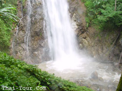
90% of the whole area of Chiangrai comprises high mountains. Some are as high as 1,500 meters above sea level, especially those along the Phi-Pan-Nam Mountain Rang which come down from Daen-Lao Mountain in Chiangmai, stretching to meet Luang Prabang Mountain from Nan Province. Mt.Langka is the its highest peak at the height of 2,030 meters. Chiangrai, therefore, can boast of being the "motherland" of several important rivers that are the lifelines of the north. These include Kok, Ing, Lao, and Sai Rivers. Of these Kok River is the most important because its runs through the city of Chiangrai. Thus, you may hear... Kok Rafting.. in Chiangrai via Thaton, a district bordering between Chiangrai and Chiangmai. Staying at least a night during rafting.. accommoation is also available by the starting point.