|
Click on photo for larger image. |
|
|
|
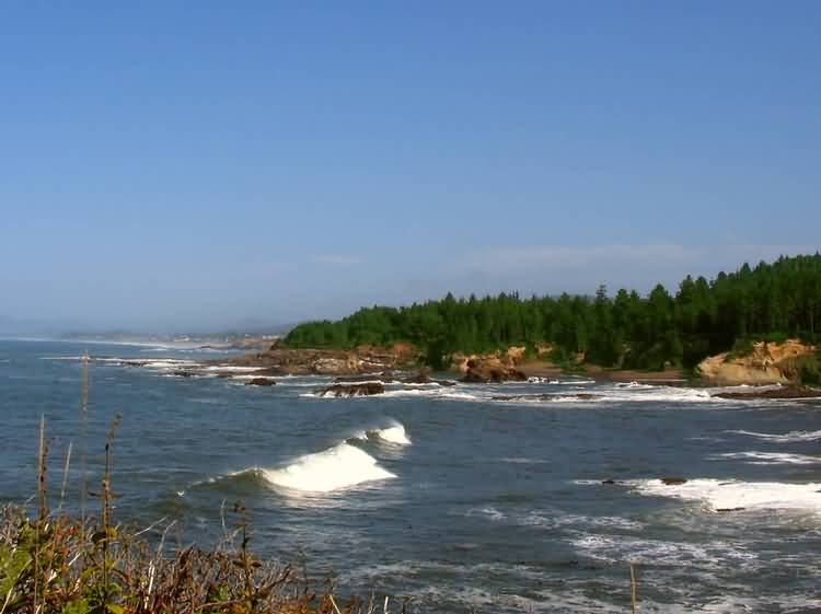
Mile 0. Begin at the north end of the town of Depoe Bay, at the overlook of Boiler Bay State Park. You'll see whales feeding offshore here |
|
|
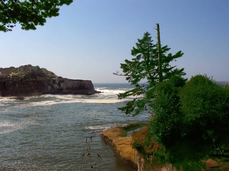
Mile 1.0. Heading south towards the town center you will encounter a little overlook that peeks out onto a small cove. It is a short walk to a grassy knoll overlooking the cove. |
|
|
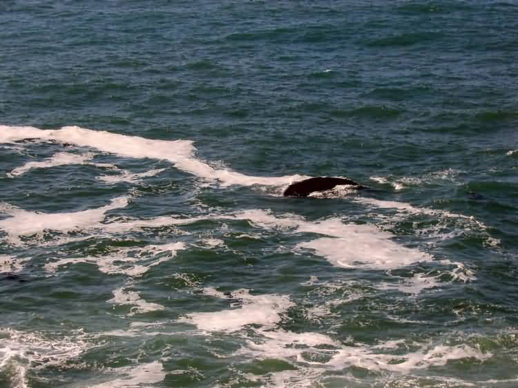
Mile 1.5. Depoe Bay calls itself the Whale Watching Capital of the World. This photo shows why. A resident pod of whales feed within a hundred feet of the town's esplanade. You can tell when a whale comes into feed by the cameras, binoculars and pointing arms of the people gathered along the highway. The black object is not a rock, it's a whale. |
|
|
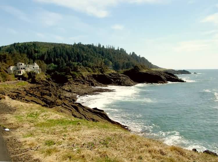
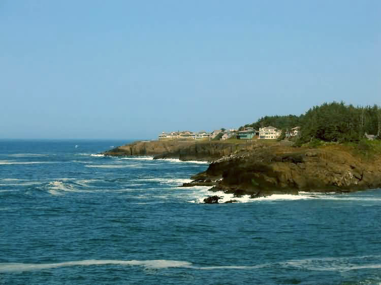
Mile 2.5. At the south end of town lies the 149 acre development of Little Whale Cove where our home is located. Walking paths wind among the homes through meadows, forests and along the ocean cliffs. This photo looks south towards Rocky Creek State Park seen in the distance. |
|
|
Mile 4.0. At the north base of Cape Foulweather sits Rocky Creek State Park. This photo looks over Whale Cove north towards Little Whale Cove. |
|
|
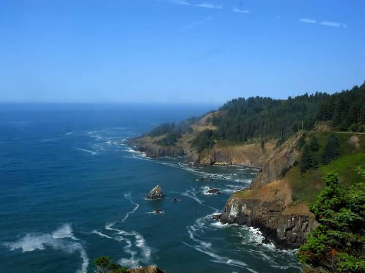
Mile 6.5. Immediately after leaving Rocky Creek State Park leave Highway 101 and take the old highway to Otter Crest. There you will be treated to a view of the coastline from 500 feet. There is a privately run gift shop there. Nearby is the community of Otter Rock. Surfboarders flock here to descend down to Devil's Punchbowl State Park. |
|
|
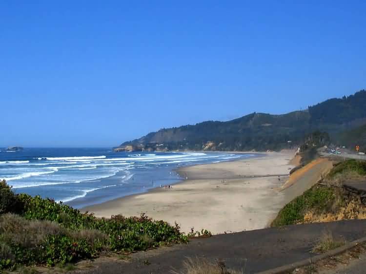
Mile 10.0. After descending from the summit of Cape Foulweather are the twin broad beaches of Beverly Beach State Park and Moolack Beach. This photo looks north towards Cape Foulweather and at its base, Devils Punchbowl State Park. |
|
|
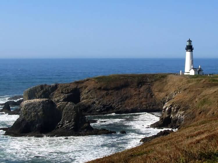
Mile 14.5. At the north entrace to the town of Newport is the Bureau of Land Management's Yaquina Head Outstanding Natural Area. There is the 93 foot tall Yaquina Head Lighthouse, commanding a dramatic view of the south and north coast. |
|
|
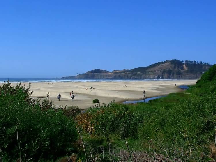
Mile 15.5. Before reaching the commercial center of Newport, you will find the turnoff for Agate Beach. There the beach sands takes a different shape. Small dunes are formed there, but you will have to go another 50 miles south to reach the big dunes Oregon Dunes National Recreation Area where dunes can reach 500 feet above sea level. |
|
|
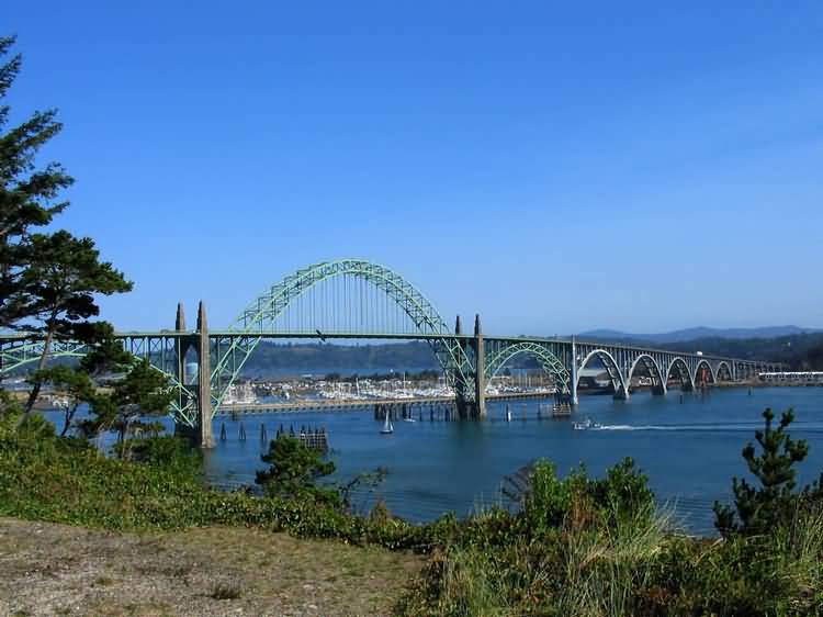
Mile 19.5. When leaving Agate beach do not return to Highway 101. Instead continue on Oceaview Avenue and Coast avenue until you reach Yaquina Bay State Park. There you will find another lighthouse and a fine view of Yaquina Bay Bridge. Continue on beneath the north bridge approach to Newport's historic bayfront where you'll see seals by the fish processing plant, Ripley's Believe It Or Not, Wax Museum, Undersea Gardens and plenty of good restaurants. On the south side of the Bay Bridge is the Oregon Coast Aquarium where Keiko the Whale once lived. |