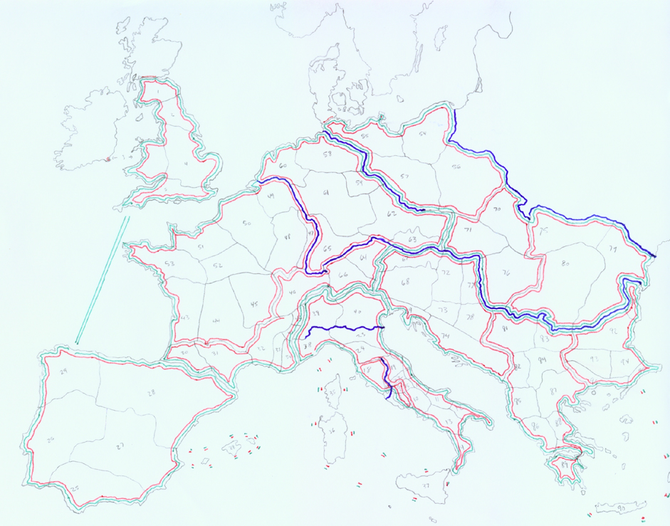
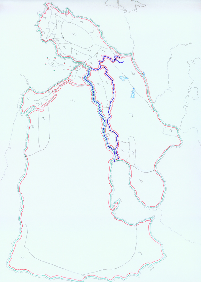
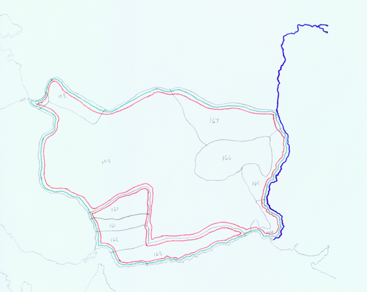
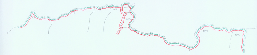
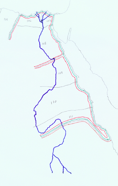
PLEASE be aware that these maps are very large and in many sections. They had to be made large enough to view the details, so if I combined them into one large map, your browser would be loading till the next millenium. Anyway, the links to each section of map are below. And the legend is also below. I apologize for the poor quality of these maps. They were hand drawn by me and then scanned into my computer, then converted to jpeg format. Some of the numbers defining provinces are illegible, but I promise that will be rectified when I have sufficient time to improve these maps, or make new ones.
Legend:
Blue lines= Rivers
Green lines= Prefectures
Red lines= Diocese
"Pencil" lines= Provinces
n.b.- The Principate boundaries are not shown, but the maps are labeled according to their Principates below. Enjoy.