| Back to Rogue's Home |
| Go to Next Page |
| Back to Rogue's Home |
| Go to Next Page |
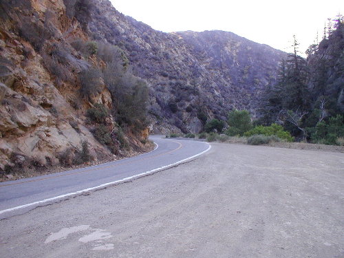 |
| Above: Morning along Highway 33 in Los Padres National Forest. The 33 climbed up to higher elevation peaking at Pine Mountain, then descending down into the central valley. |
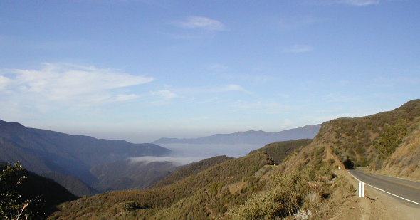 |
| Above: Up in the clouds on Highway 33. The Marine Layer so prevalent in the coastline can only go so far. Once up in the higher elevations, the fog gets left behind and it�s replaced with California blue skies. |
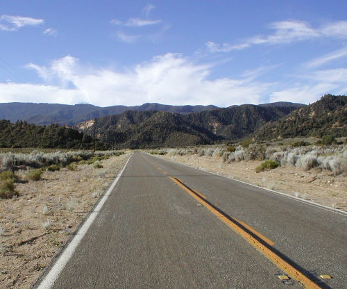 |
| Looking back on Highway 33 towards the mountains of Los Padres National Forest. This part of the road was flat and straight as it lead us down into the central valleys of California |
| We stayed on Highway 33 all the way through the oil town of Taft, gassing up somewhere along the way before hitting another sportbike road called Highway 58. It was quite a relief to see the sign to the entrance of Highway 58, �70 Miles To Next Service�. I dream about roads like that! We must have passed a dozen pickup trucks (I think EVERYONE drives a pickup truck in Taft) but as soon as we turned on 58, the scenery suddenly changed from Kuwaiti oil fields to California�s brown rolling hills again. |