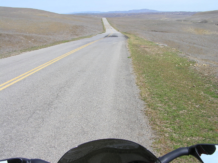
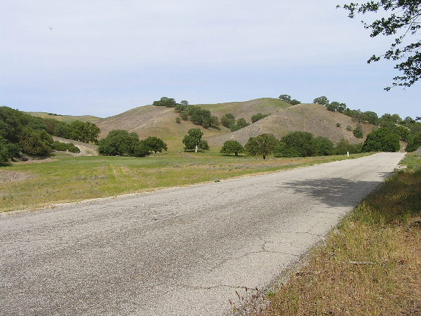
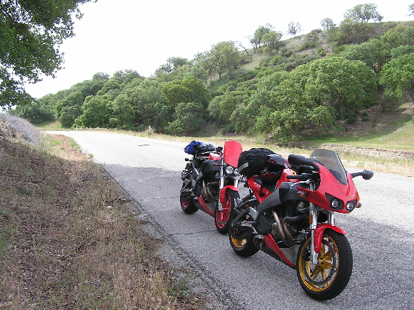
| As we got further north along Bitterwater Rd., the terrain went from simple, and barren grassy fields to a more lush area with real trees! That part of the road also sat side by side with the San Andreas fault line. We could clearly see how the surface of the ground had risen up like a broken layer of cake! We stopped under the shade of a tree to rest for a bit. Asphalt_Carver checked is oil level and it was low so we filled it up to its proper level. I alwasy brought along a quart of my favorite oil just in case, along with a proper funnel. Rarely did I ever need to use it, this time however was an exception. |