FlightGear - LICP Airport - What's wrong with the coordinates?!?
I have an aerial picture of airport LICP (Boccadifalco, Italy) with UTM33N coordinates which could be very usefull for correcting FGFS' LICP airport geometry, whose level of details is relatively poor. I made a .xml FGSD Map file out of it.Now I have a problem because the aerial picture I have should have correct coordinates (the web site that publishes the pictures is a Government Institution) but as soon as I overlap it to the scenery data in FGSD, I have it displaced by by approximately 550m (Fig.2).
As you can see the bottom-right corner of the runway has different coordinates.
- www.atlanteitaliano.it : E 013:18'52.3 - N 38:06'36.1
- fgfs scenery file: E 013:18'51.3 - N 38:06'18.2
I don't know if it's the aerial picture's fault or the FlightGear airport file's fault.
I think it's the airport file's fault but I am not shure. You maybe have other tools and knowledge for determining that. Any hint? I have to choose between thinking that FGFS airport files are not very correct or that a Government Institution does a bad job (which, even if I doubt, is still possible).
Roberto
Figure
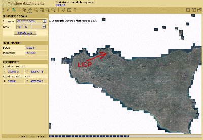
Fig.1 - The aerial picture was taken at www.atlanteitaliano.it (zoom in to get the details)
(Use MSIE for accessing the site because there seems not to be any good ECW Firefox plugin at the time.)
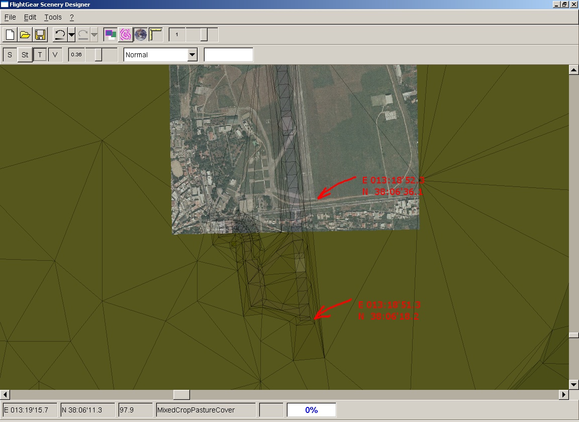
Fig.2 - FlightGear Scenery Designer overlapping aerial picture and scenery file
