Being a 28 mile, approx, circular walk based on the 105 mile Robin Hood Way, Nottinghamshires original long distance footpath. Map Explorer 270 (essential) Park at the free public car park behind the Robin Hood PH in Edwinstowe, off East St, GR 628668.
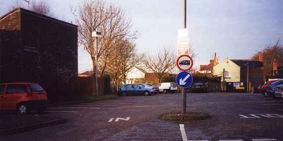
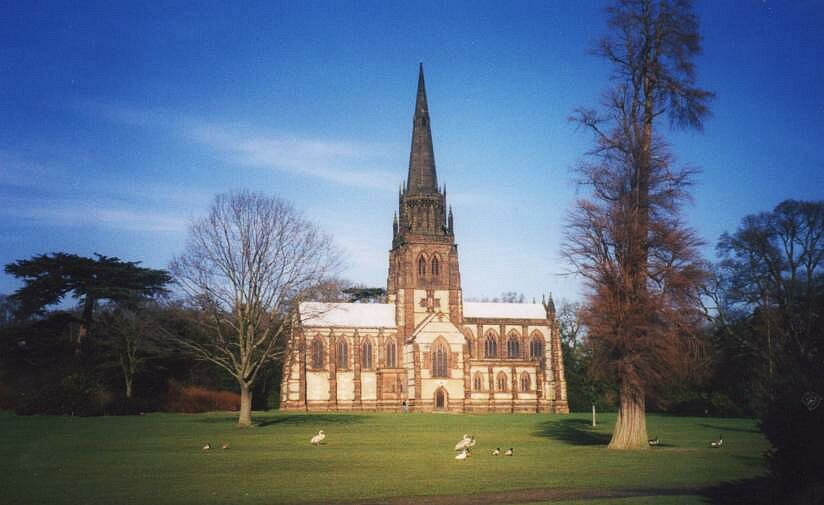
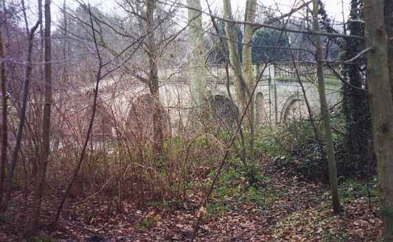
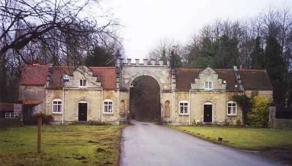
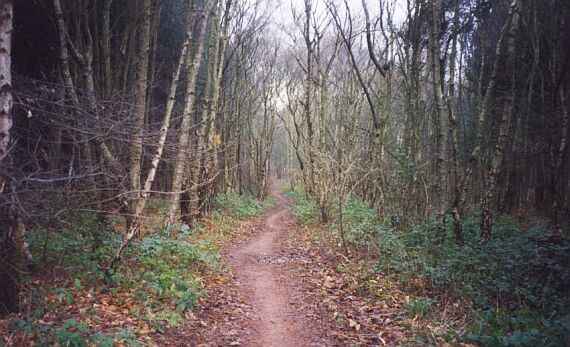
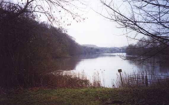
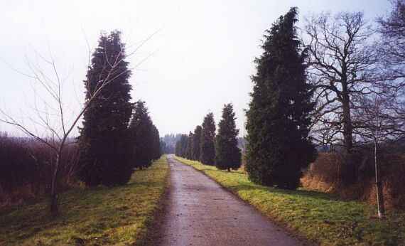
Turn R out of the car park, follow East Lane round to the main road,  through to the A614. 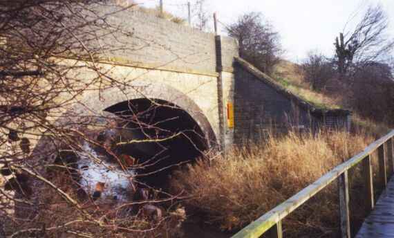 Cross this with great care, and TL under bridge along right hand side of the A614, taking the right fork at the first junction to Ollerton village and church. 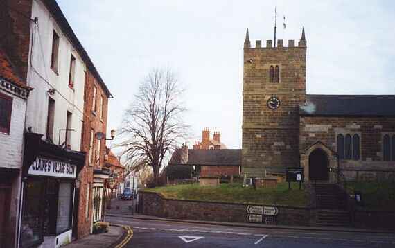 At the White Hart PH, cross �L and follow past church to A616 at GR 655676. Cross with care, left along pavement, and in 50 yds, turn right down bridleway. After about � mile, turn left, over the R. Maun, then R, L, R and along track for about 1 mile to Whitewater Farm; round the ruins, and continue to  Whitewater Lane at GR 660702. Turn R along road, over bridge across the R Maun, and when the road turns sharp R, turn L into Walesby Wood,  passing Robin Hood�s Cave. At GR 663714 we join the RHW proper, 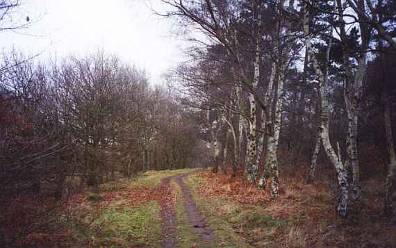 which we follow for several miles, 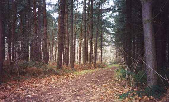 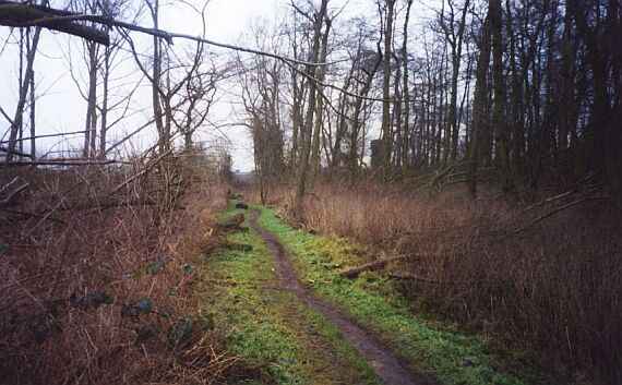 via Conjure Alders. 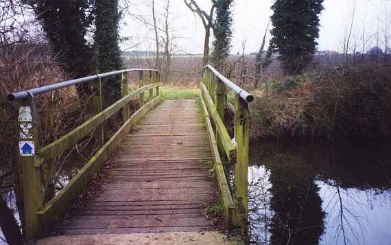 Cross the A614 at GR 649742. Enter the woodland behind the lay-by, but do not follow Freeboard Lane. Instead, soon TR (north) with woodland and the A614 on R. 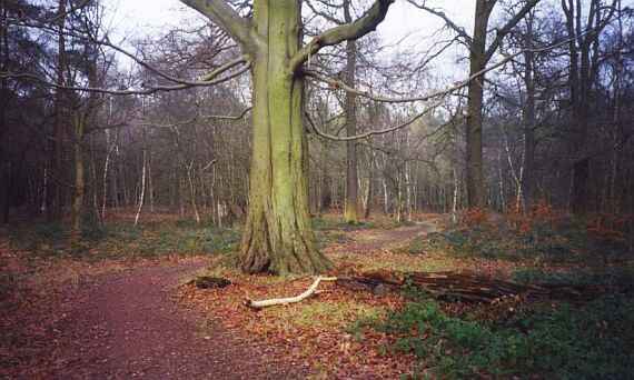 Continue over the metalled road to the next road-see Clumber Park Hotel in the distance on the R. Cross the road �L, through the gate and across the field, 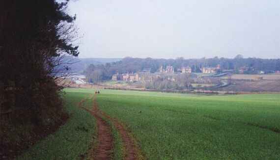 initially passing the wood on your left, to join the road again at field corner. TR down the road, 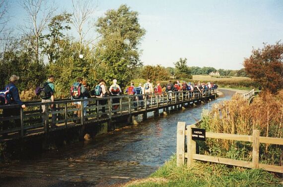 across the wooden bridge, and still following the road, reach the car park. Across this, and take the narrow track to the left of the toilet block, at the end of which, TL, to reach the lake. TR, and keeping the lake on the L, 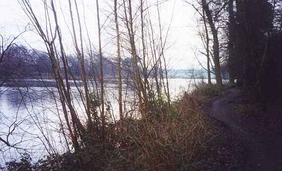 follow round for about 1 mile, passing through a gateway on the way, and continuing until steps 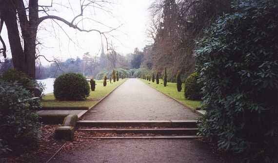 and formal gardens are reached. 
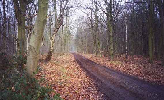
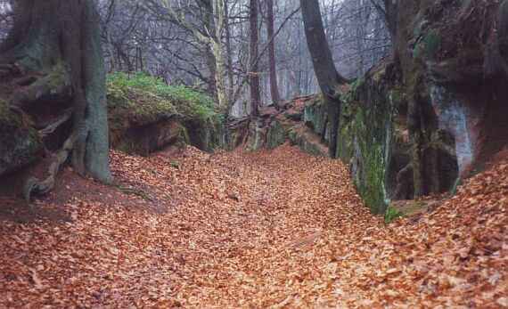
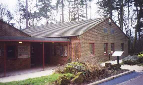
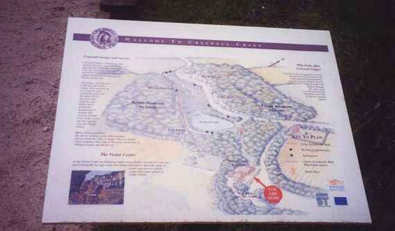
Take the track on the left immediately after the buildings, then TL over the outflow from the lake, and continue on the left side past the caves, with lake on right. 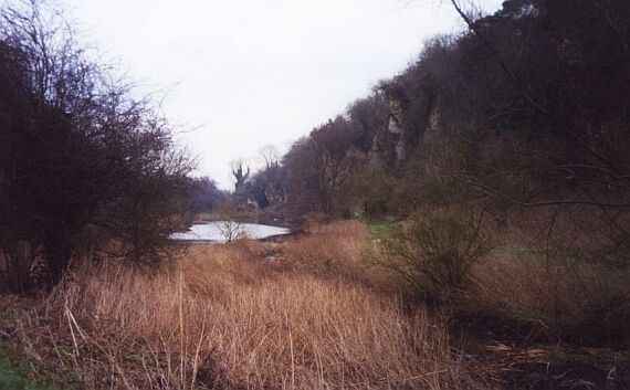 At the far end, pass through the gate, over the stile, then uphill for a short distance before leaving the track left uphill as soon as possible, keeping the wall on your left. Continue with wall, over stile, downhill, over another stile, across a field, and then along the edges of four more fields, to the telephone box at Holbeck. �L across road, and along the RUPP to pass the church to Holbeck Woodhouse. On reaching the crossroads, TL. Then TR still on the RHW. Cross the A60, continue on the private road; at junction, sharp R, then L at next junction, to pass the deer park on your left. 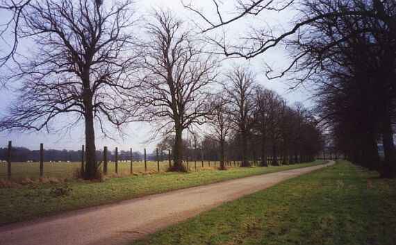 Just before the road junction, cross the stile, following the RHW to a minor road. Turn left, then at the T junction, left again. Continue on this road as it turns right on leaving Norton. Follow the quiet road, watching for the twitchers on the left, 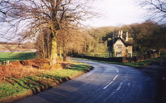 to GR 586720 Carunna Lodge, continuing through 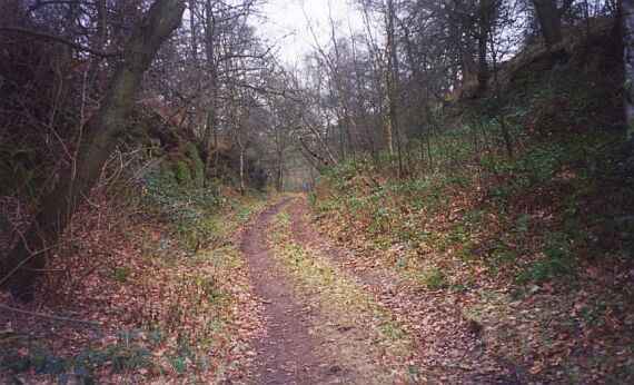 the woodland to Hazel Gap. Here the RHW goes in four directions. Our route crosses the A616, and goes �R to Gleadthorpe Beck Plantation. Care is needed here: TL at the bottom before open countryside is reached. There is a finger post, but the RHW waymarks may not be clear. The RHW is followed through sets of gates either side of the road, and then follow a 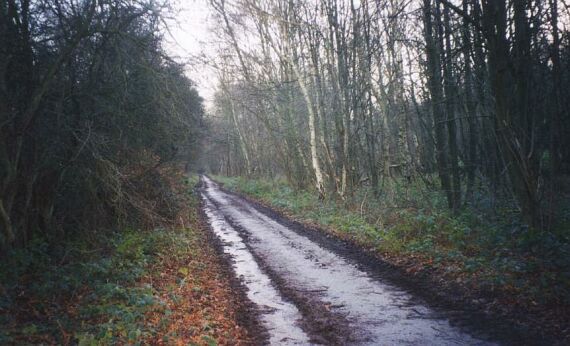 long track gradually climbing, with a wide grassy ride on the right. When this disappears, TR on to a wide forestry trak,which is followed for some time until it veers R. Continue ahead into the wood, and look for a yellow water hydrant on the R. At this point, TL, cross track, and follow the edge of the wood to reach the A6075. Cross �L, following metalled road, 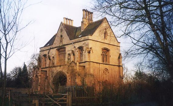 past Archway House, and downhill on rough track to TL just before river. Follow track 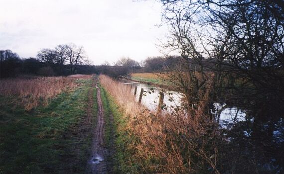 with river on right, through woodland, and then along edge of open field. Eventually TR down track, crossing two bridges. Still follow the path with the river below on the L. Soon the RHW turns R, but our walk continues along the river edges to the busy minor road. TL, along road, to reach the T-junction and retrace steps to the car park by crossing the bridge, TR into East Lane, and the car park is on the left. I hope you have enjoyed your walk. Walking at a brisk pace the 27 miles takes 7� hours, allowing 10 mins at Cresswell Crags visitor centre for a break and refreshment. Start 9.30, Cresswell Crags 2 pm, finish 5 pm. Comments on the route to [email protected] For a printable version of this walk, CLICK HERE |