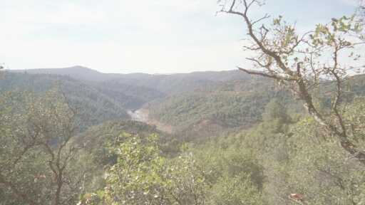
| Photo #8: In this photo, the canyon walls are beginning to become evident. |
| Photo #9: This sign has been changed since American River 50 in April.... I believe the previous sign read "Beware of Mountain Lion". |
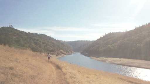
| Photo #11: This photo was taken partway up Cardiac Hill. Note the manzanita in foreground. In this section I ran on and off with a person named Glenn from the Auburn area. He was doing the SNER race. |
 |
 |
 |
 |
 |
 |
 |
 |
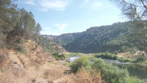
| Photo # 10: This is one of my favorite sections of the course as we wind through the various bars along the river just before we climb up Cardiac Hill to Auburn. I really miss living here. The course goes by an old PowerHouse. |
| I had a lot more fun with Cardiac Hill this year than I had last year during SNER. After completing the climb up Cardiac Hill, we ran along a canal for several miles encountering Maidu Aidstation and then Auburn Dam Overlook Aidstation. Along the canal , the lead runners of the SNER race passed by me in opposite direction heading back to Cavitt School... Ann Trason was the first runner that passed by. After Auburn Dam Overlook aidstation we jump on to WS trail and begin the descent into Auburn Ravine towards No Hands Bridge. |
| Photo #12: This photo was taken near Robie Point , partway between Auburn Dam Overlook and NoHands Bridge. |
| Photo #13: This photo shows the scarring of the canyon wall that was caused by the Auburn Dam project. If I remember correctly the project was eventually aborted because a fault line had been found . Seeing the scarring reminded me of Don Henley's song "Goodbye to a River"..it took 5-10 minutes to get the lyrics out of my mind. |
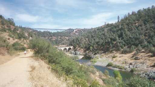
| Photo #14: Around 25-26 miles, No Hands Bridge is in sight. The bridge seen above is the ForestHill Bridge. |
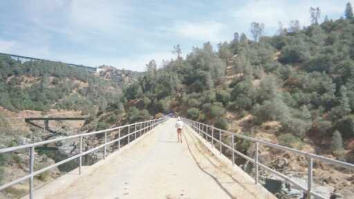
| Photo #15: From the vantage point of the previous photo or from the hwy49 bridge, No Hands Bridge appears to be short... but it always seems like it takes a good while to run its length. The aidstion is at the far end, on the Cool side of the bridge. Interestingly, the 3 bridges can be seen in this photo: Foresthill Bridge top-left , Hwy 49bridge to the far left, and No Hands Bridge in foreground. After crossing No Hands Bridge, we start up K2 Hill to climb the out of the canyon up to Cool. K2 begins up the terrain shown on the right side of photo. K2 was not as bad as I thought it might be. |
| PAGE 2 OF RDL-100 PHOTOS |