Santa
Barbara

UCSB
SB County
Bike Maps
California
SF Rec
Page
Bay Area
Pages
E-Mail Me
|
I'm a UCSB alumnus (class of '77). I've
had a chance to come down to the Santa Barbara area and UCSB several times
this summer. The campus has changed a lot. It has grown both physically
and in academic reputation. One thing that hasn't changed much is the beauty
of the area. I tried to capture that in these pictures below.
Click on the thumbnails below to bring up a larger picture.
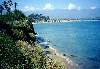
The East Shore of UCSB:
 |
 |
 |
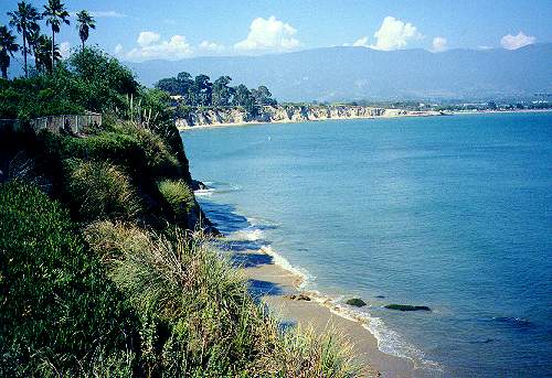
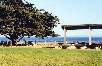
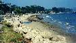
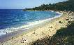
| Cliffs by the dorms |
View from campus
beach towards
Goleta Beach |
Campus beach
looking towards
campus point |
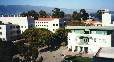
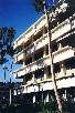
Campus Buildings:
 |
 |
 |
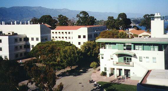
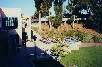 |
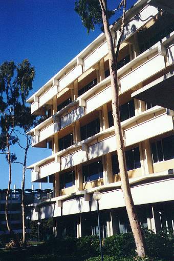
Engineering 2
and MSL |
Santa Cruz
Hall |
Physics
Offices |
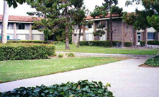
UCEN and
Commons |
The Campus Lagoon
 |
 |
 |
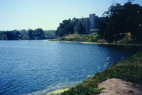
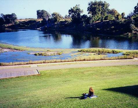
By San Nicolas
Hall |
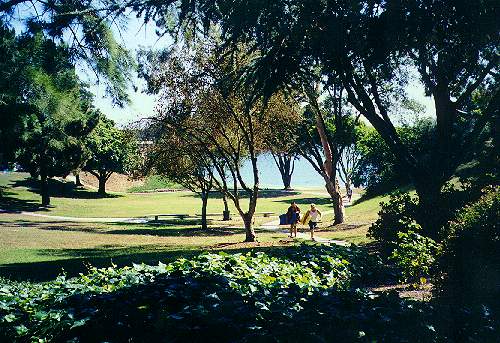
Lawn by
University
House |
UCEN Lawn |
The Evening Campus
 |
 |
 |
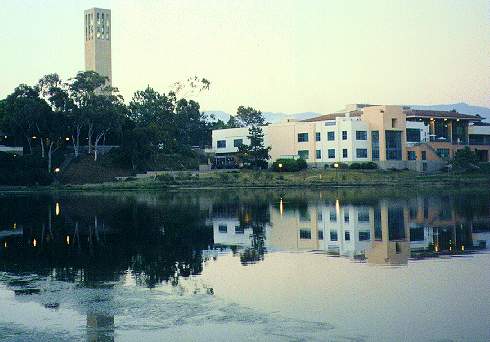
Storke Tower,
UCEN, and
Lagoon |
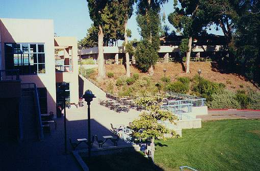
Humanities,
Snidecor Hall |
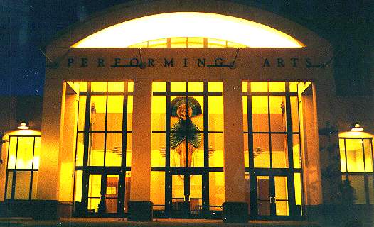
Performing
Arts |
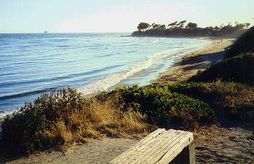
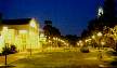
Isla Vista
 |
 |
 |
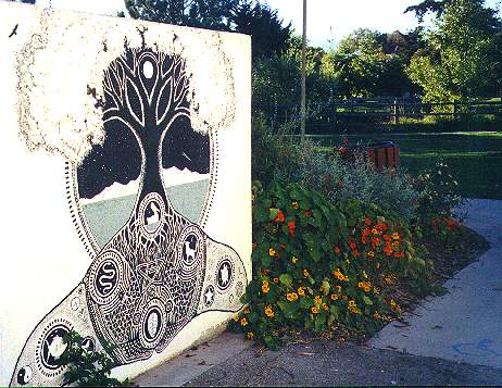
Wall mural
near IV
Park |
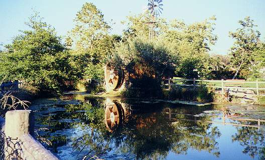
Mill and Pond
in IV Park |
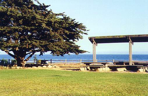
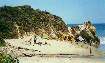
Park on Bluffs
Above IV
Beach |
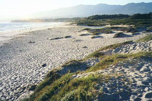
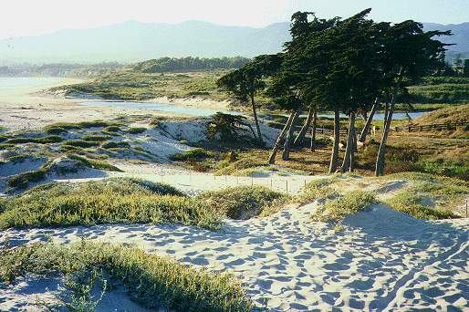
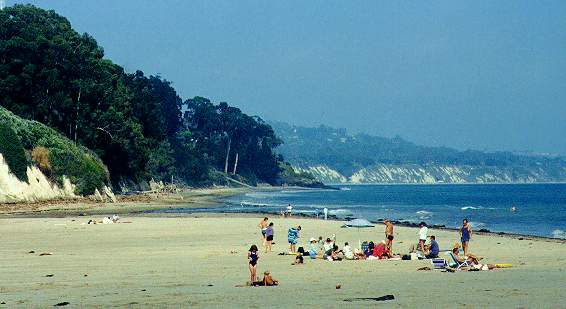
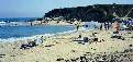
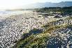
Devereux Beach and Dunes
 |
 |
 |
Looking West
Towards Coal
Oil Point |
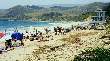
Devereux
Beach |
Devereux
Dunes |
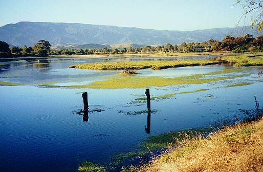
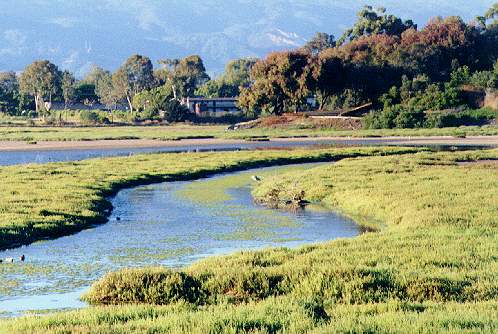
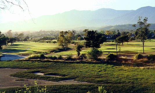
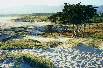
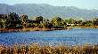
Devereux Slough and Ocean Meadows Golf Course
 |
 |
 |
 |
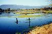
Devereux Slough
Looking North |
Devereux Lagoon
by Slough Road |
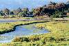
Devereux Slough
Marsh |
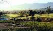
Ocean Meadows
Golf Course
at Edge of Slough |
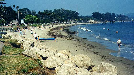
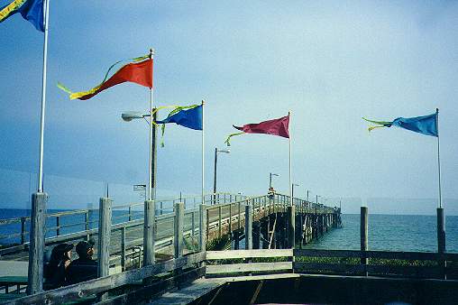
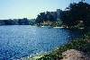
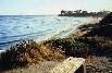
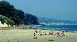
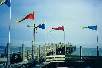
Goleta Beach and Slough
 |
 |
 |
 |
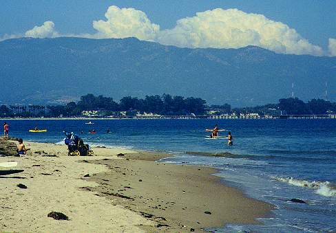
West End of
Goleta Beach |
East End of Goleta
Beach by Goleta
Slough Outlet |
Goleta Pier |
Goleta Slough
Near Goleta
Beach |
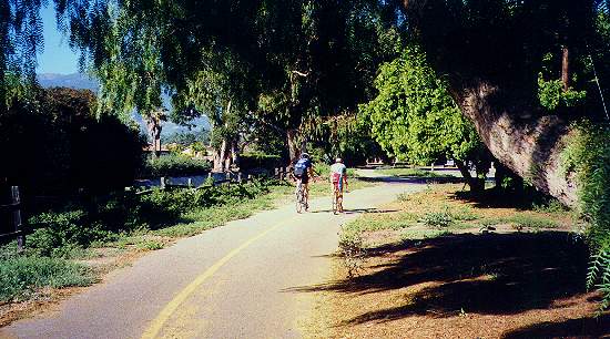
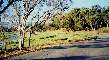
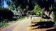
Goleta Bike Paths
 |
 |
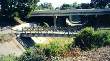 |
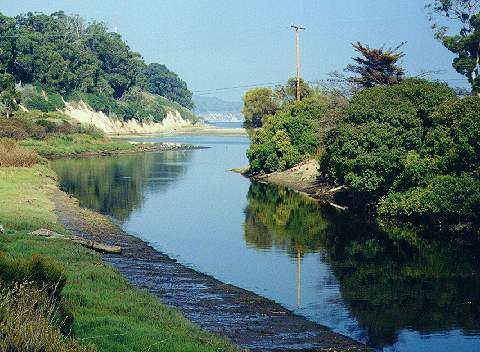
Coast Route
By Puente
Drive |
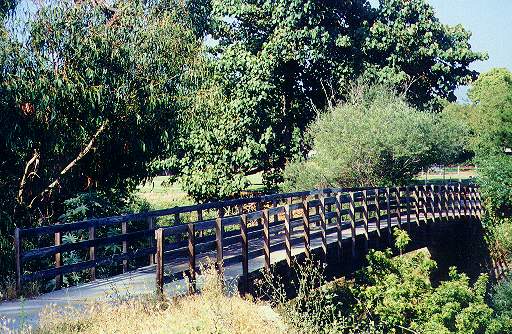
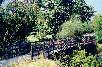
Maria Ygnacio
Creek Bridge |
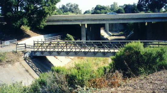
Maria Ygnacio
Route Under
Hwy 101 |
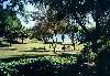
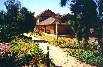
Goleta Depot and Lake Los Carneros Park
 |
 |
 |
 |
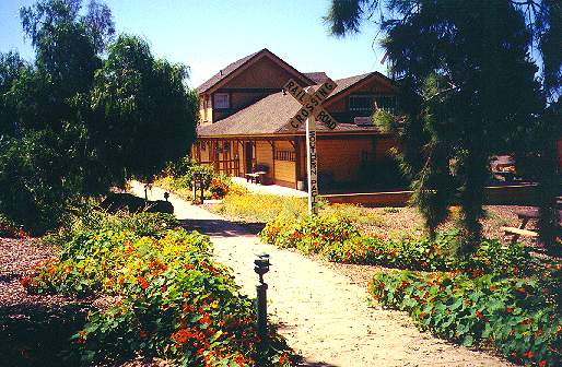
| Goleta Depot |
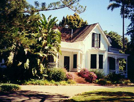
Stow House |
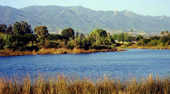
Lake Los Carneros
Looking North from
South Shore |
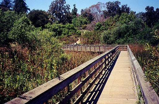
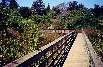
Boardwalk Over
Marsh on North
Shore of Lake Los
Carneros |
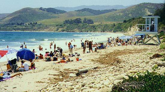
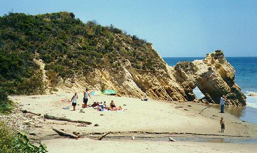
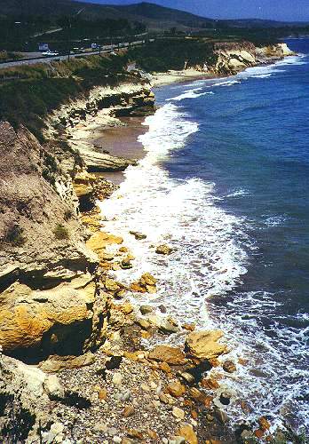
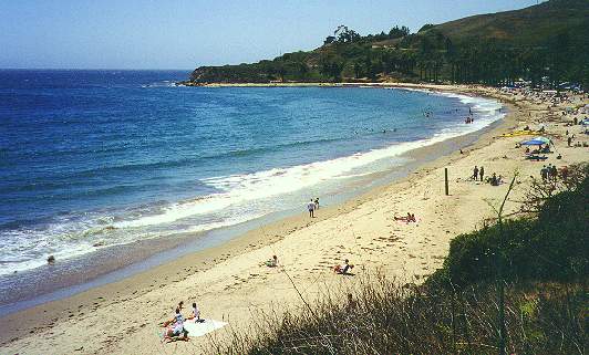
El Capitan Beach to Refugio Beach
 |
 |
 |
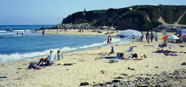
 |
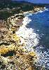
El Capitan State
Beach |
Small beach west
of El Capitan |
Shoreline
East of Refugio |
Refugio State
Beach |
See my Web page
on Santa Barbara
See my Bay Area
Back Pages

Created 7/17/00 by
Ronald Horii
|