 |
 |
 |
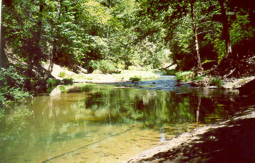
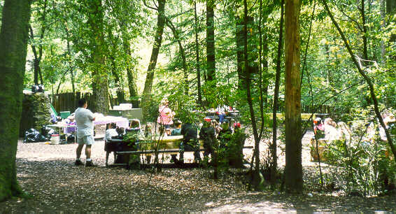
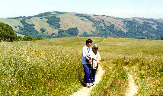
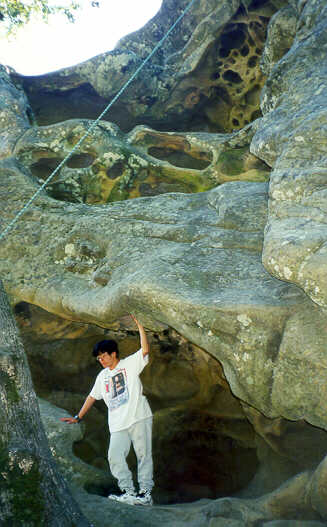
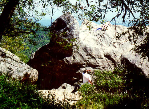
| Pescadero Creek | People near
Pescadero Creek |
Peters Creek |
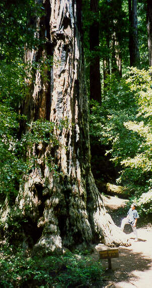
There are 18 miles of trails through the 2800-acre park. The park headquarters are at one of the lowest points in the park, around 400 feet. Most of the trails lead uphill from there. There are several short, easy trails around the park headquarters. One is the Sequoia Trail, a self-guided nature loop, less than a mile long. The Old Tree Trail is another short trail that leads through a shady canyon to a single giant tree, the 12-foot diameter, 300-foot tall "Old Tree," one of the tallest in the Santa Cruz Mountains. The 3-mile Iverson Trail follows Pescadero Creek. Where it crosses Fall Creek is 5-foot Tiptoe Falls. The longest and most strenuous trail in the park is the Peters Creek Trail, which leads to the remote Peters Creek Grove of old-growth redwoods. It is a 13-mile round trip, gaining 1000 feet in elevation. Some trails link to neighboring parks, for even longer hikes. The Old Haul Road is an 18-mile route that can be taken by mountain bike from Portola State Park, through Pescadero County Park, to Memorial County Park. The Slate Creek Trail and Ward Road Trail can be taken to reach Long Ridge Open Space Preserve and the Bay Area Ridge Trail. The Basin Trail leads up the side of Butano Ridge, through Pescadero Creek County Park, along an easement through private land, and ends up at the China Grade Road in Big Basin State Park, a 6.8-mile hike with a 1917-foot gain in altitude.
Here are some views of Portola State Park and neighboring parks.Click
on the thumbnails for larger views:
|
|
|
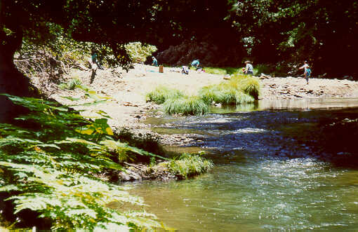
| Pescadero Creek | People near
Pescadero Creek |
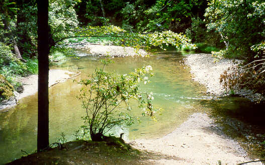
Peters Creek |
 |
 |
 |
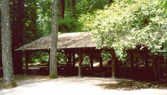
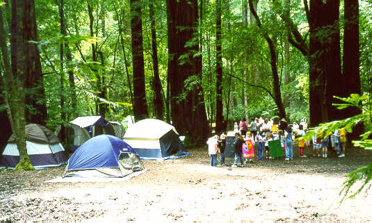
| Group picnic
shelter |
Open area by
Group campsite |
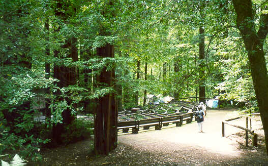
Amphitheater |
 |
 |
 |
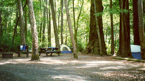
| Group campsite | Road down
group campsite |
Eating area by
group campsite |
 |
 |
 |
| The Old Tree
Portola SP |
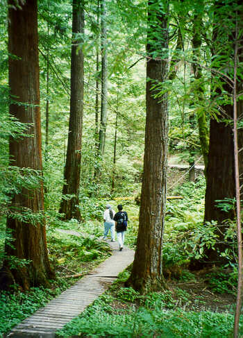
Heritage Grove
Sam McDonald County Park |
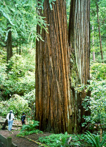
Big Trees
Heritage Grove Sam McDonald |
 |
 |
 |
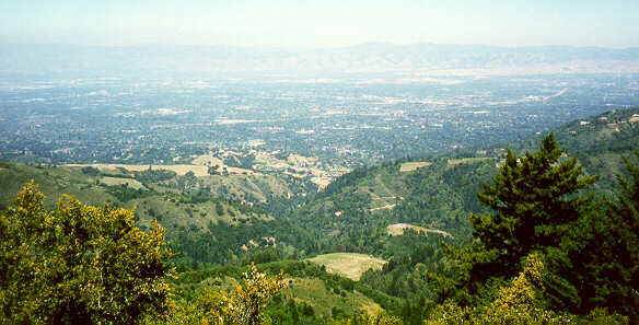
| Russian Ridge OSP | View of valley
from Summit Rock Sanborn Skyline County Park |
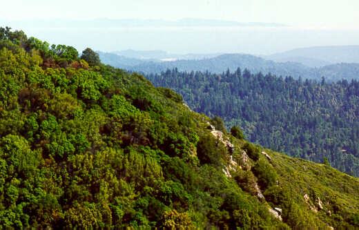
View from Ridge
Trail of Saratoga Gap Trail, Castle Rock State Park |
 |
 |
 |
| Summit Rock
Sanborn Skyline County Park |
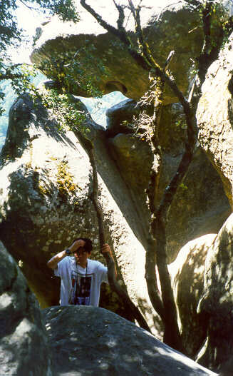
Castle Rock | Goat Rock
Castle Rock State Park |
The shortest way:
I-280 to Page Mill Road west. Go west 12 miles up into the mountains.
(Note, this gets increasingly winding. See this route
and the parks along the way here.)
Near the base of the hills, you will pass Palo
Alto Foothills Park on the right (open to Palo Alto residents only)
and Foothills Open Space
Preseve on the left. In the middle of the ascent, you will pass Los
Trancos Open Space Preserve on the right and Monte
Bello Open Space Preserve on the left. At the summit, Coal
Creek Open Space Preserve will be on the right.
Cross Skyline Blvd. (Hwy 35). Just ahead, the road turns into Alpine
Road, which is a very narrow and winding road. (You can see a map
of this area here.)
Russian Ridge
Open Space Preserve will be on your right, while Skyline
Ridge Open Space Preserve will be on your left.
After 6 miles, take the left fork, which is Portola State Park Road,
3 miles to the Portola State Park entrance.
(Note: this is a steep, narrow, winding road that drops down and dead
ends at the park. It is the only public road into the park, so you can't
avoid it.)
See this map
of the park headquarters and campground area.
Alternate Route from the south:
Note: Hwy 9 is a faster and less twisty ascent up the mountains than
Page Mill Road, but it runs for a long way along Skyline Blvd. Skyline
Blvd. runs along the summit of the moutains and is fast and level, though
slightly twisty. It is a favorite for motorcycle racers.
Get onto Hwy 9:
From the south: Hwy 17.
Exit in Los Gatos at Hwy 9.
From the north or east:
Hwy 85 to the Saratoga Avenue exit. Take Saratoga Avenue west.
Follow Hwy 9 through Saratoga, and climb the mountains.
Turn right on Skyline Blvd. Watch out for speeding motorcyclists.
At the Page Mill Road/Alpine Road intersection, turn left on Alpine
Road.
Take the left fork, which is Portola State Park Road to Portola State
Park entrance.
Another Alternate Route From the North:
Note: this route has a shorter ascent up the Santa Cruz Mountains than
going up Page Mill Road.
I-280 to Woodside Road exit.
Take Woodside Road (Hwy 84) west.
At the junction with Portola Road, take the right fork (La Honda Road,
still Hwy 84).
Either turn right on Hwy 35 and take the first route above (which is
shorter),
Or continue on La Honda Road, as if you were going to Memorial Park.
At the junction, take the left fork to Pescadero Creek Road.
Keep going straight onto Alpine Road, instead of turning right to Memorial
Park. (This road gets very winding towards the end.)
You will pass the
Heritage Grove of Sam McDonald County Park, then Camp Pomponio Road
on the right, which leads into Pescadero Creek County Park.
Ahead, take the right fork, which is Portola State Park Road to Portola
State Park entrance.
The Coast Route:
This is the looooong way. You can take this in reverse to go home to
take a scenic route along the coast.
Get to Hwy 1 from Santa Cruz, Half Moon Bay, or San Francisco.
Take Hwy 1 to Pescadero Creek Road, south of Pescadero State Beach.
Turn right on Alpine Road (see above).
Take the right fork, which is Portola State Park Road to Portola State
Park entrance.
Alternatively, you can take Hwy 84 along the coast from San Gregorio
all the way to Pescadero Creek Road, then follow the directions above.