Links:
Santa County Parks
Lexington County Park
Los Gatos Creek Trail
Vasona Lake and Los Gatos Creek County Parks
Santa Clara Valley Water District
Lexington Reservoir and Lenihan Dam
Lenihan Dam Outlet Project
Mid-Pen. Open Space District
Sierra Azul OSP
St. Joseph's Hill OSP
El Sereno OSP
Bear Creek Redwoods OSP
Bay Area Ridge Trail
Ridge Trail Guidebook
Ron Horii's Park and Trail Pages:
Los Gatos Creek Trail
Los Alamitos Creek Trail
Guadalupe River Park and Gardens:
Guadalupe River Trail
Guadalupe Creek Trail
Coyote Creek Trail
Bay Area Biking
Bay Area Hiking
Bay Trails, South Bay
Bay Area Parks
Santa Teresa Park
Almaden Quicksilver Park
Bay Area Back Pages
SF Bay Rec & Travel
The Ghosts of Lexington
There
was an article
in the Mercury News today about a ghost town re-emerging due to the
falling waters of Lexington Reservoir. The reservoir has been drained
to allow construction of new outlet pipes. This has caused the remnants
of 2 former towns, old roads, and an old bridge to re-appear. The towns
were Alma and Lexington. They were drowned when Lexington Reservoir was
built in 1952. Hwy 17 also ran through here. This was a rare and
possibly one-of-a-time opportunity to see this, so I went out to
Lexington Reservoir County Park on Sunday 12/7/08 to see it. I carried
a GPS receiver to record the GPS coordinates of some landmarks.
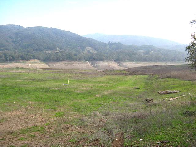
I
parked at a small parking area on the side of northbound Hwy 17 just
north of Bear Creek Road and south of the turnoff to Alma Bridge Road.
It is across Hwy 17 from Black Road. There is an official park entrance
(shown as "ENTER" on the map at the bottom of this page), service
roads, and informal trails here. When the reservoir is full, it's a
short walk to the shoreline. Now, you can hardly see the water.
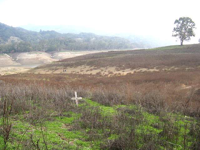
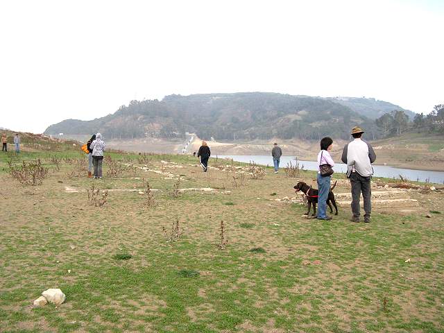
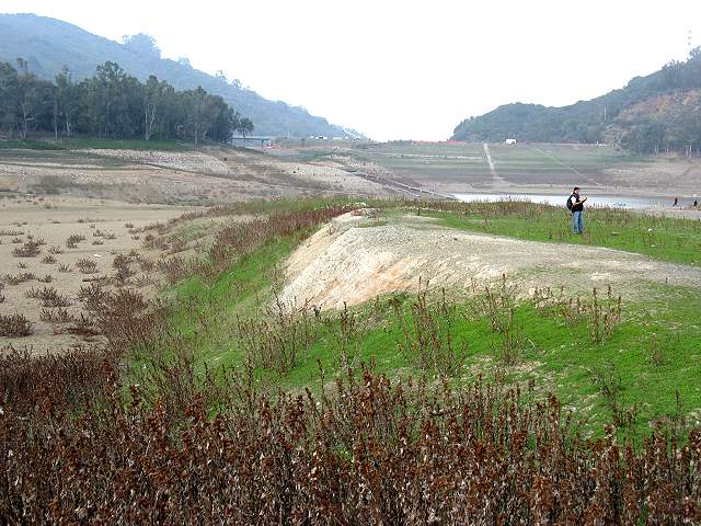
Since
I didn't know where the ruins were and did not have a map of the lake
bottom, I didn't know where to go, so I improvised. I basically headed
straignt for the lake across a long flat plain. I came to the side of a
hill. Walking down the hill, someone left a memorial cross here. Ahead
is a valley that was probably an old creekbed.
You can see a concrete channel in the old creekbed.
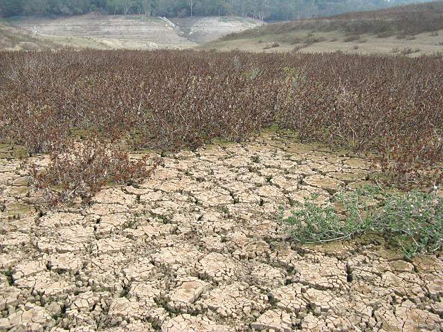
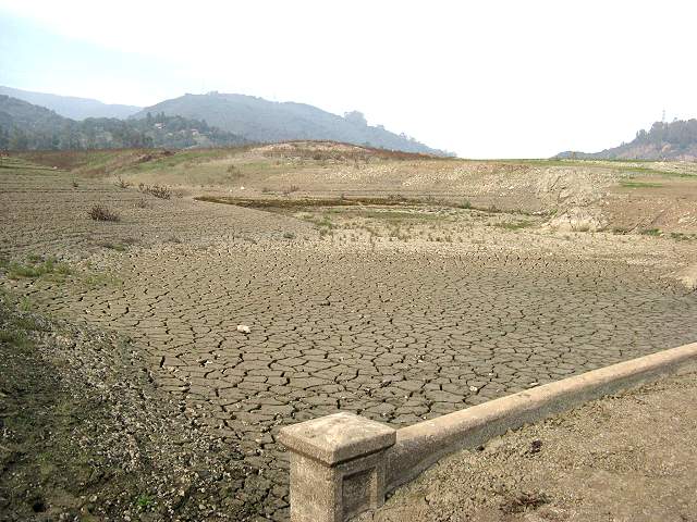
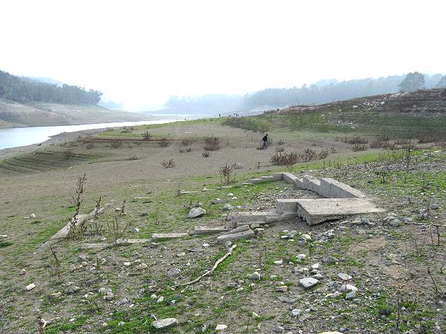
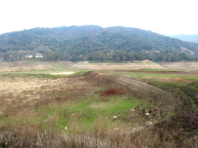
As
you reach the bottom of the old creekbed, you can see the dried,
cracked mud that was once the lake bottom. The bottom was firm today,
but will probably not be once we get more rain. I do not recommend
taking this route after it rains. Also, all those plants have burrs,
which stick to your clothing.
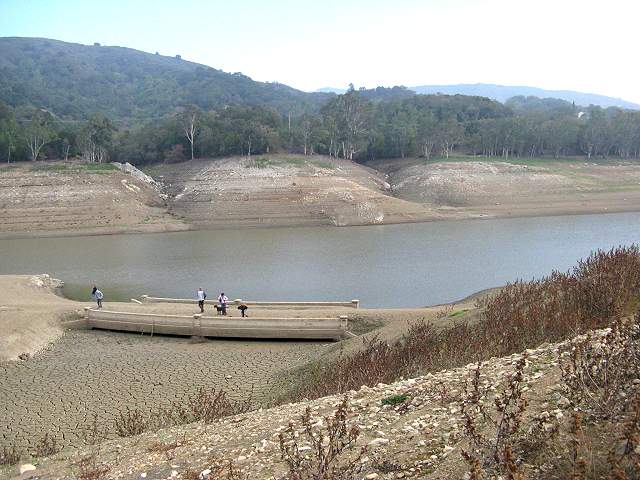
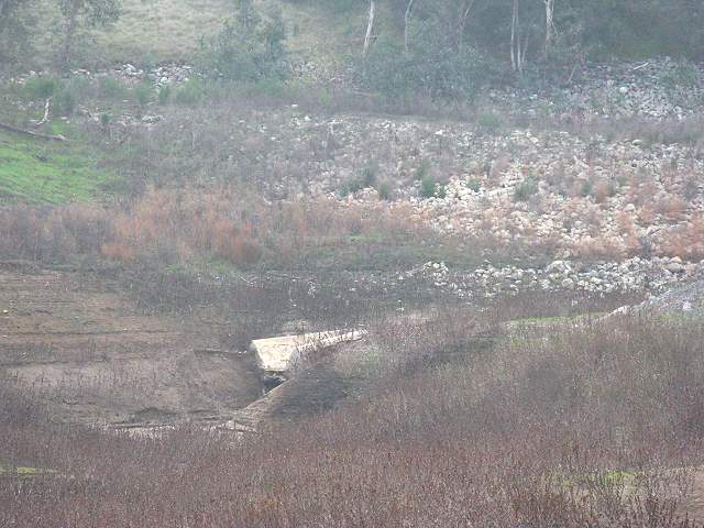
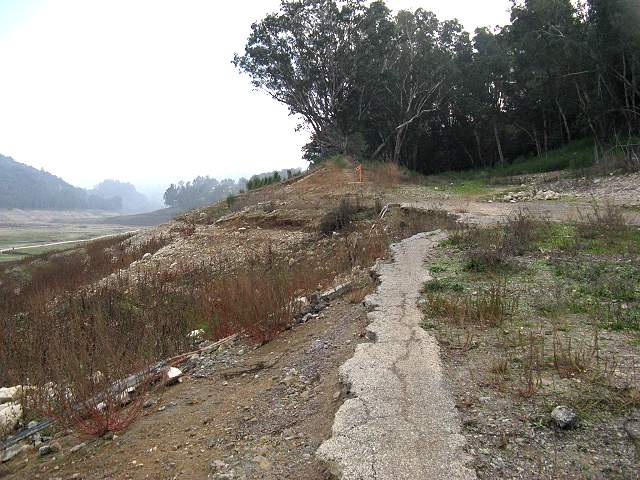
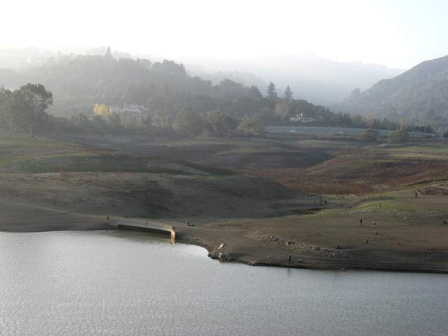
Below, you can see the old bridge.
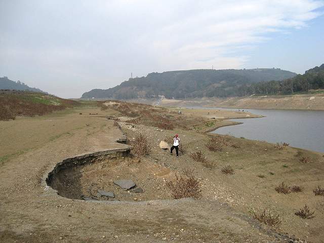
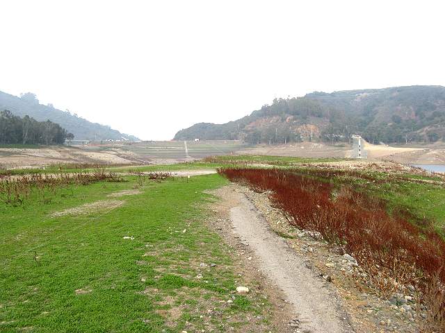
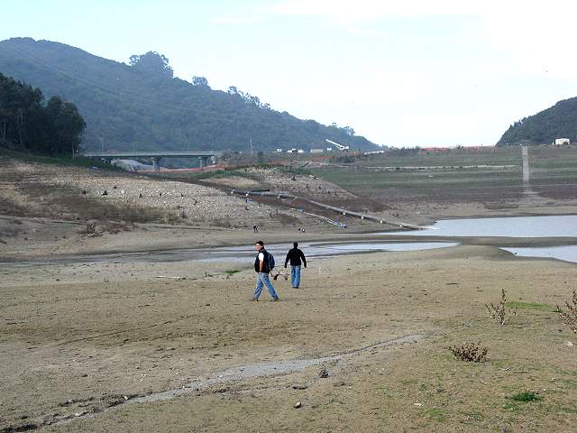
An
old paved road, probably the remnants of old Hwy 17 can be seen going
up the hill paralleling today's Hwy 17. Parts of the roadbed have been
washed away. The current southern shoreline of the reservoir can be
seen just ahead.
Here is one of the washed out sections of the road.
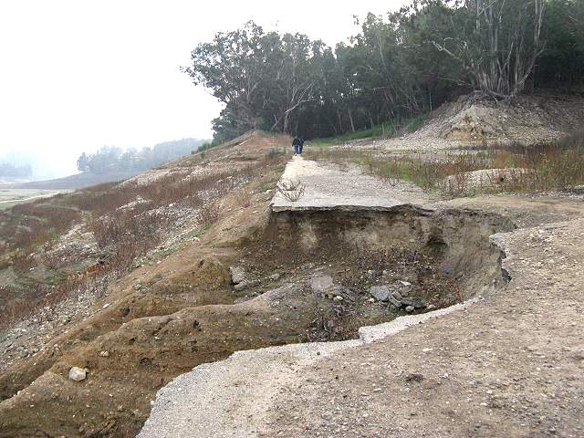
Here's another washed out section near the top of the old road.
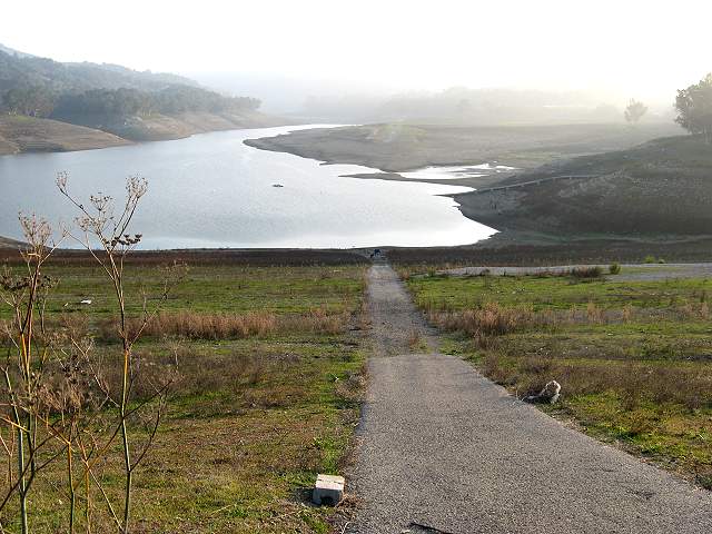
The
old road continues on through the woods ahead. From the map
in the Mercury News article, it looks like it ends at Old Santa
Cruz Highway.
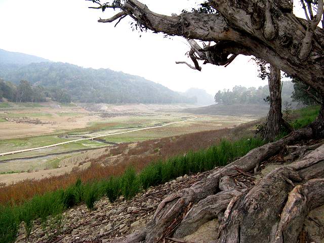
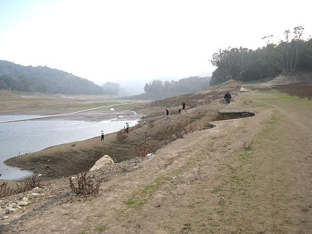
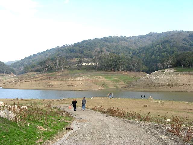
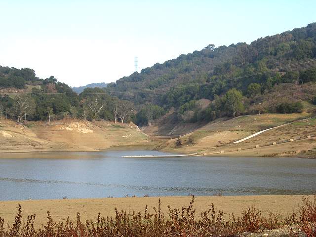
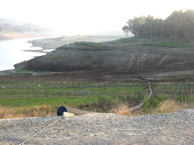
Looking
south on Lexington Reservoir, you can see pipeline that is probably
being used as part of the dam project. That little trickle of water
down the middle is technically Los Gatos Creek.
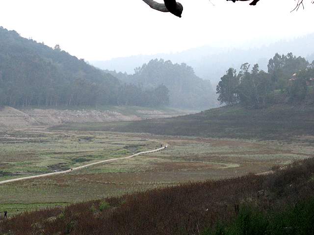
Zooming
in, you can see the pipe snaking along the reservoir bottom. The trees
on the opposite shore indicate the maximum level of the reservoir.
Somewhere farther south, way back down along the reservoir bottom, is
the site of the old town of Alma. I didn't go farther south. I turned
around and went back north.
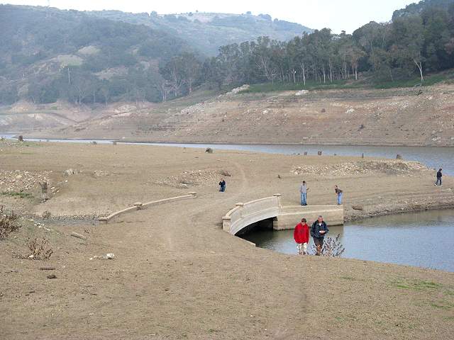
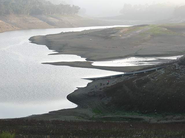
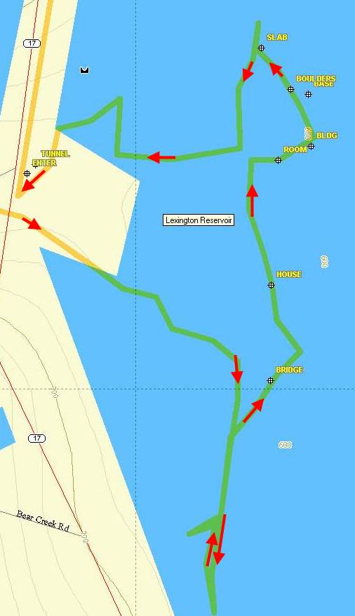
Heading back north on the old road, it comes to the usually submerged bridge.
The
GPS coordinates for the bridge are N 37° 11.507 W 121° 59.369,
shown as "BRIDGE" in the map at the bottom of this page. This is the
upstream side at the mouth of the old creek.
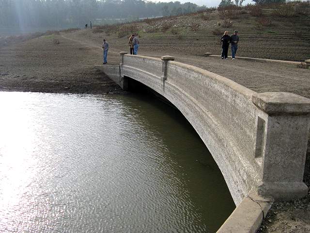
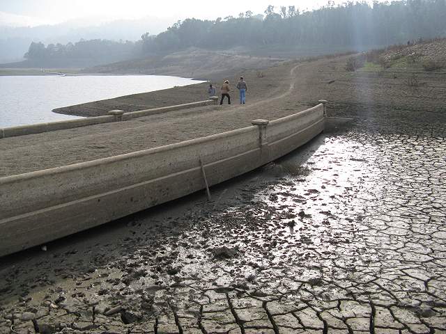
The remaining water of the reservoir laps up to the downstream side of the bridge.
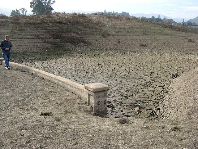
This shows the bridge was built in 1926.
The
upstream side of the bridge is soft mud now. Deep footprints in the mud
show that it is not advisable to try to cross the creekbed near the
bridge.
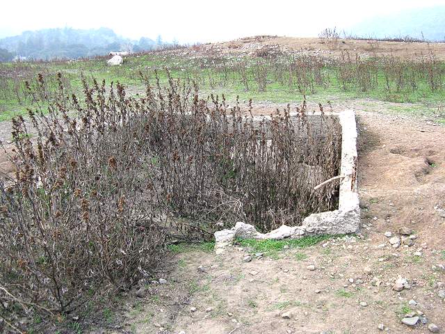
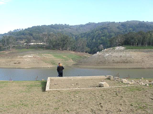
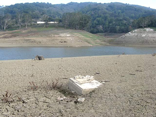
A
short distance north of the bridge are the foundations of an old
building, possibly a house. This is at the site of the old town of
Lexington The GPS coordinates for this foundation are
N 37° 11.586 W 121° 59.359, shown as "HOUSE" in the map below.
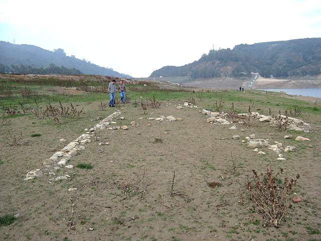
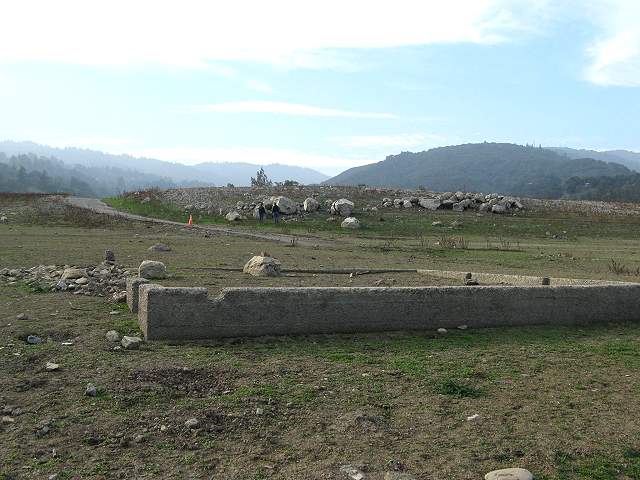
This was a long, narrow room.
It looks like there was a small room on the side.
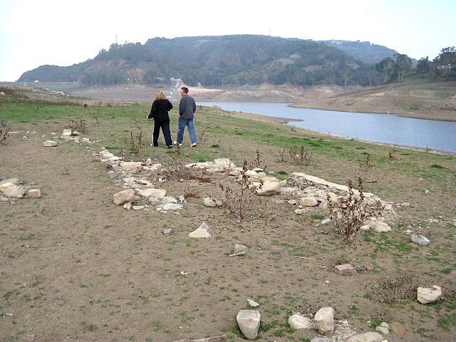
Looking south along the foundation.
The
remains of a small out-building are here. The GPS coordinates for this
structure are N 37° 11.611 W 121° 59.365
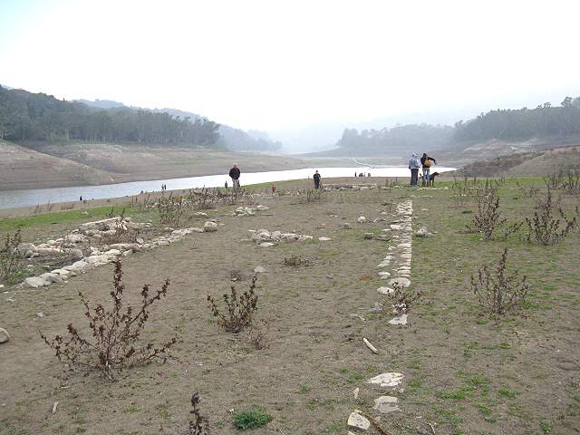
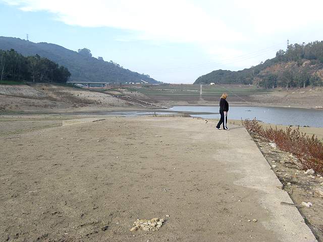
Continuing north along the old road.
As the road drops down, you can see foundations near the shore.
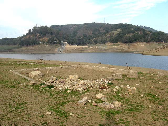
The
foundations of a small square building built along the slope are here.
The GPS coordinates for this foundation are N 37° 11.689 W 121°
59.352, shown as "ROOM" in the map below.
Closer
to the shore are the foundations of another small room. The GPS
coordinates for this foundation are N 37° 11.701 W 121° 59.318,
shown as "BLDG" in the map below.
Looking north towards St. Joseph's Hill.
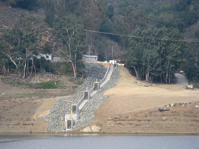
To north, across the lake, you can see what looks like the new intake structure for the dam.
Looking
west at the foundation, you can see the some large boulders on the hill
above the old road.
This
looks like the base of a sign or lamppost. The GPS coordinates for this
base are N 37° 11.744 W 121° 59.321, shown as "BASE" in the map
below.
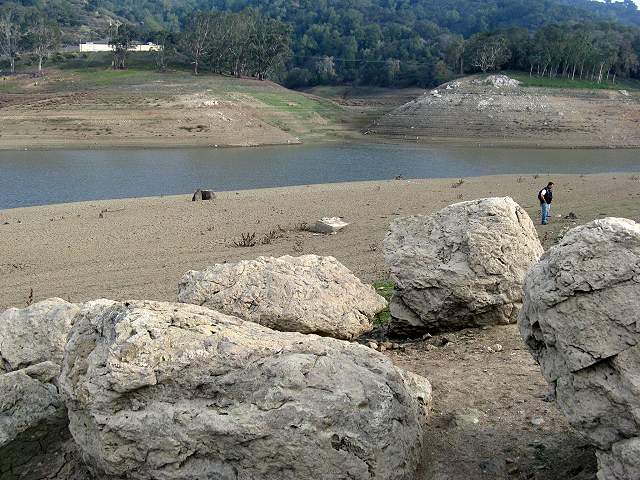
Looking at the base from a group of boulders N 37° 11.748 W 121° 59.339, which are shown as "BOULDERS" in the map below.
Looking at the base from a group of boulders N 37° 11.748 W 121° 59.339, which are shown as "BOULDERS" in the map below.
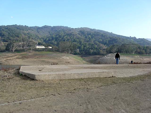
Near
the end of the old road is a large concrete slab. The GPS coordinates
for this slab are N 37° 11.782 W 121° 59.369, shown as "SLAB"
in the map below.
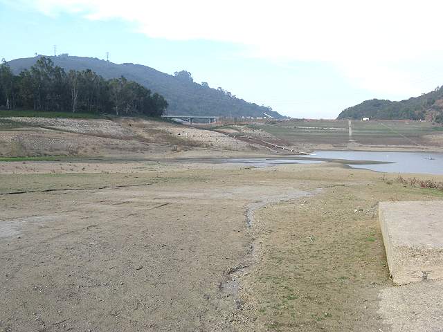
This shows the road as it heads down towards the dam.
Another
view of the slab, showing a ramp, indicating this slab may have been
the floor of a garage.
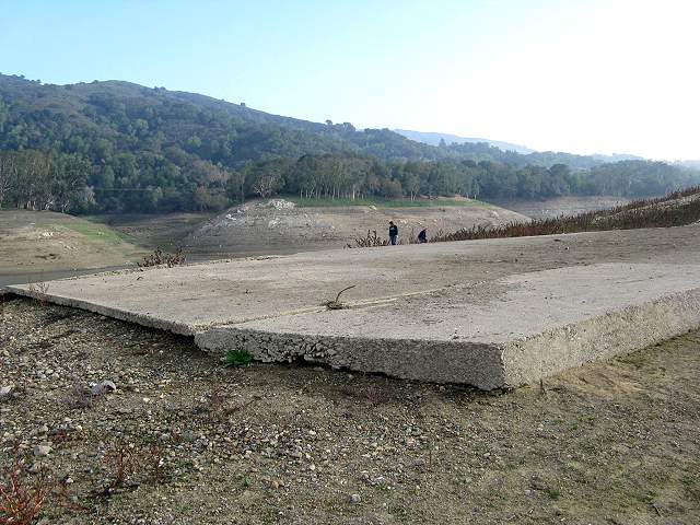
Another view of the slab.
Looking across the lake at the boat dock for Santa Clara University's rowing club.
The
old road ends near the dam. To the left above is the Alma Bridge Road
bridge over the dam's spillway.
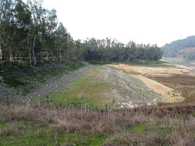
Returning
back to the parking lot, I followed along the old road for awhile.
Looking back towards the dam, there is a steep dropoff along the side
of this hill, which is usually underwater.
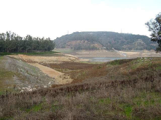
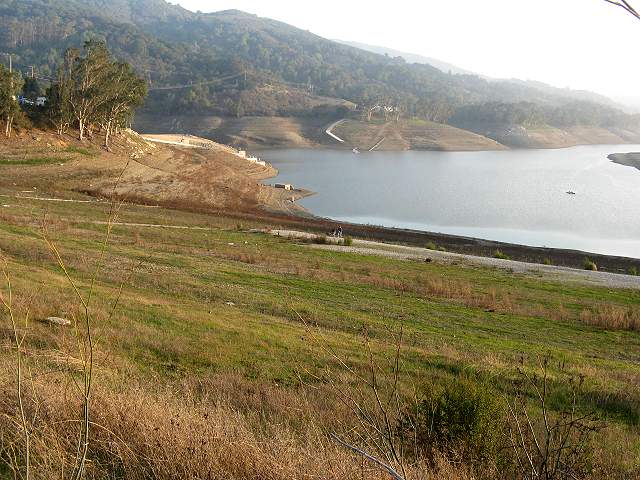
Looking
back towards the east shore, showing this large cove, which is normally
underwater. The hills in the background are part of Sierra Azul Open
Space Preserve.
Close
to Alma Bridge Road, you can see the high water line, just below the
trees. There is a flat area, then a slope.
Looking towards the dam and intake structure.
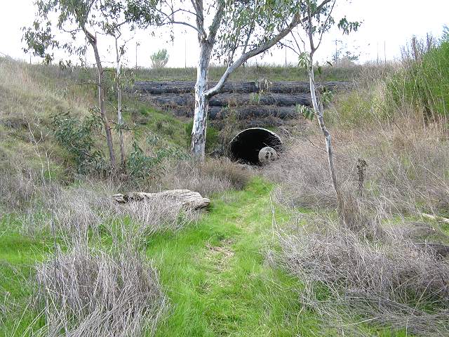
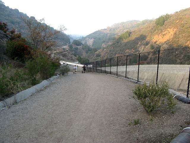
There
is a tunnel under Hwy 17, which emerges next to Black Road (shown as
"TUNNEL" in the map below). It is big enough to walk through and high
enough above the lake so that it is not a water tunnel.
Unfortunately, the west end was wet, so unless you don't mind risking
getting your feet wet, it's best to wait until summer to take this. The
parking area is just a little to the south of this tunnel.
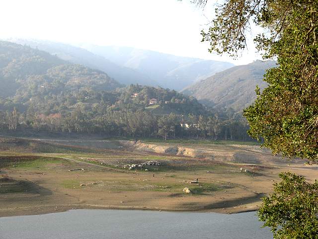
I
drove over the east shore of the lake. This is a view of the ruins from
the Miller Point Picnic Area.
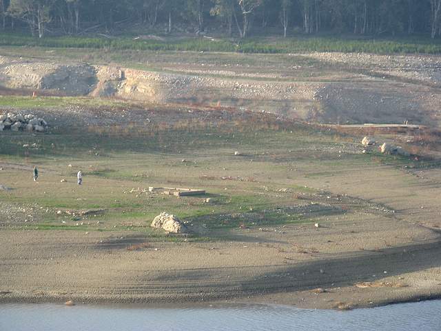
View of the boulders, building foundation, and slab from the east shore.
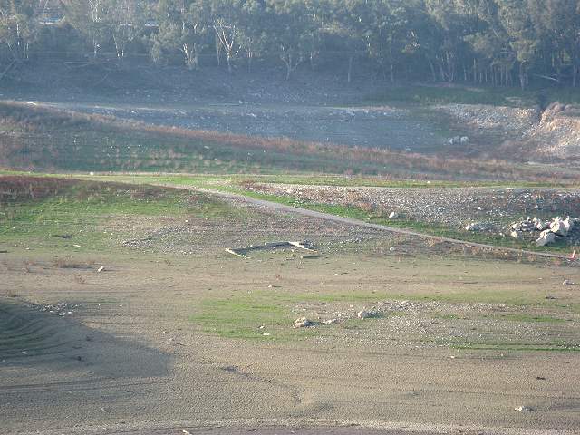
View from the east shore of the building foundation on the slope.
View of the old bridge from the east shore.
I
drove back to the dam and parked near the St. Joseph's Hill trailhead.
I walked across the dam towards the Los Gatos Creek Trail. This is a
view from the dam, showing how low the water is.
View
from the dam, looking towards the new intake structure and the Santa
Clara University boat dock.
View from the dam, showing a pipeline, which the old road and slab behind it.
This floating line usually marks the limits for boats before the spillway.
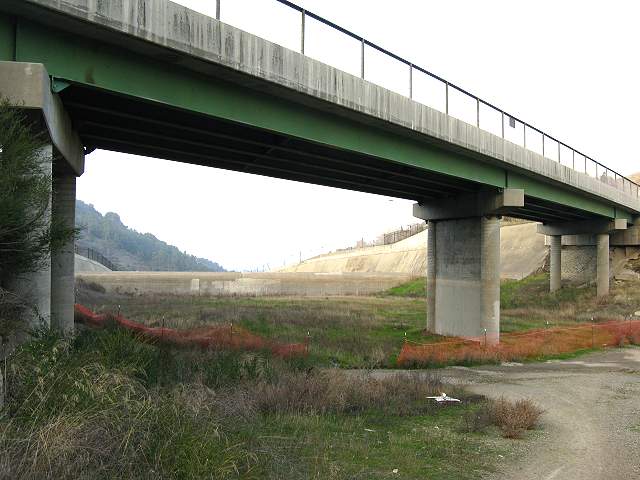
The
detour for the Los Gatos Creek Trail goes along the spillway and under
the Alma Bridge Road bridge.
The Los Gatos Creek Trail detour next to the dam's spillway.
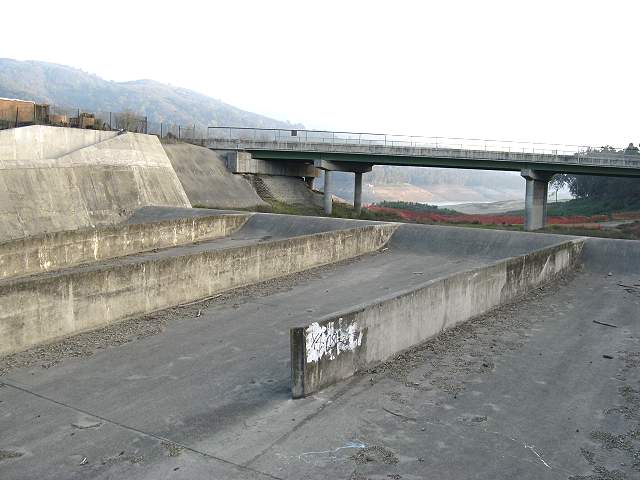
Lexington Dam spillway
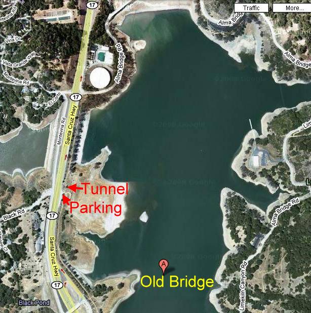
This
is a satellite photo of Lexington Reservoir as it usually looks, from
Google Maps, showing the parking area along Hwy 17 and the location of
the old bridge. The tunnel under the road is just north of the parking
area.
Created
by Ronald Horii,12/07/08