Page Contents:
Picnic Areas
Marina
West Shore Trail
Bass Cove Trail
East Shore Trail
Park Links:
East Bay Regional Parks District
Lake Chabot
Anthony Chabot Regional Park
History Walk
Park Maps
Boat Rentals
EBRP Fishing
EBRP Camping
Campsite Reservations
Equestrian Activities
Boating/Sailing
Golfing
Marksmanship Range
Nearby Parks and Trails:
Chabot Park
Redwood Regional Park
Roberts Recreation Area
Joaquin Miller Park
Leona Canyon
Huckleberry Botanic
Sibley Volcanic
Claremont Canyon
Tilden
Wildcat Canyon
Cull Canyon
Don Castro
Oakland Zoo
Bay Area Ridge Trail
Ron Horii's Pages:
SF Bay Area Rec & Travel
Bay Area Back Pages
Bay Area Parks
Lake
Chabot Trails and Facilities
by Ronald Horii
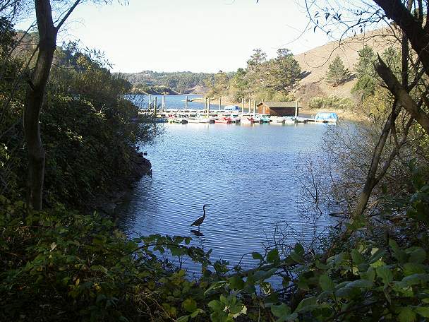
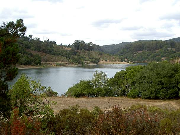
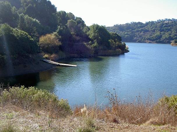
View of the marina from the cove to the southeast
Lake
Chabot is a 315-acre lake, adjacent
to 5067-acre Anthony Chabot Regional Park. The dam on San Leandro Creek which
created the lake was built by pioneering California businessman and
philanthropist Anthony Chabot in 1874-75. It was once a primary water
source for the East Bay, but is now used only as an emergency water
source and to irrigate the nearby golf course, so the lake stays at a
high level year-round. It is run by the East Bay Regional Parks
District. The lake is a very
popular and productive fishing lake. It is heavily stocked with trout
in the cooler months and catfish in the warmer months. Boat rentals are
available at the marina. The park is also popular for picnicking,
bicycling, and horseback riding. 20 miles of trail run through Lake
Chabot Park. Another 70 miles of trail are in Anthony Chabot Park. 3.5
miles of trail along the west and east shores of the lake are paved. A
bike trail runs around the lake for 12.4 miles (using the Live Oak
Trail) or 14.4 miles (using the Honker Bay Trail). A hiking route
around the lake runs for 8.5 miles. In a eucalyptus grove high on the
hill overloooking the north shore of the lake is the Anthony Chabot
Family Campground. It has tent and RV camping with hot showers. There
are also 7 group camps on hills north of the family campground. Two
golf courses adjoin the park. The Oakland Zoo is close to the park, as
is Merritt College and the Leona Canyon Regional Open Space Preserve.
The park is next to Castro Valley, San Leandro, and Oakland. There are several ways to reach the lake. The easiest way to reach the main entrance from the west is to take I-880 to I-238 east to I-580 north (towards Oakland). Exit at the Fairmont Drive exit. Take the first right, which is Fairmont Drive. Go up the hill past the county facilities. On the other side of the hill, the road intersects Lake Chabot Road. Continue to the right on Lake Chabot Road, then make the first left into the marina entrance.
Note: most of the pictures below were taken on 9/22/07. Others were taken on 12/3/05.
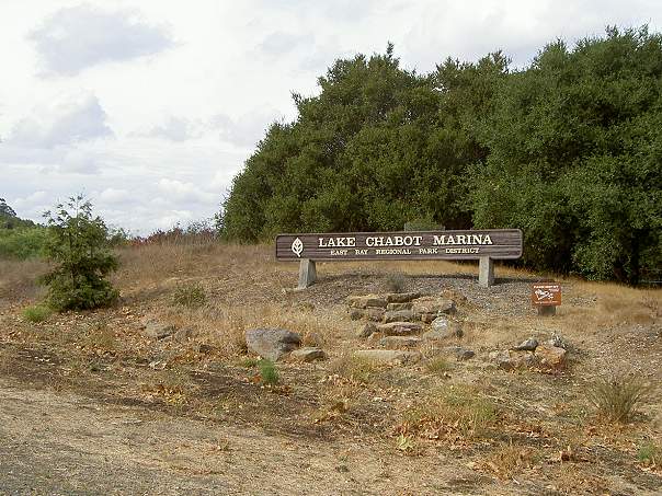
Lake Chabot Marina sign on Lake Chabot Road just east of Fairmont Drive
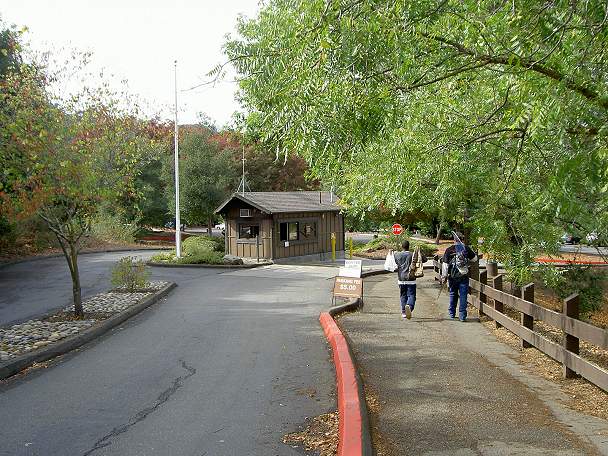
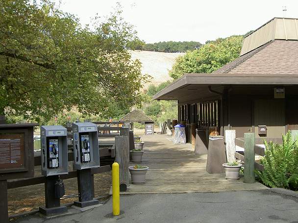
Park
entrance. Parking fees are currently $5. If you want to fish, it's
another $4. Gate hours are posted at the entrance. Curfew is 10 pm to 5
am. You can park on Lake Chabot Road outside the park and walk in,
which is necessary if you intend to stay past the parking lot's closing
hours.
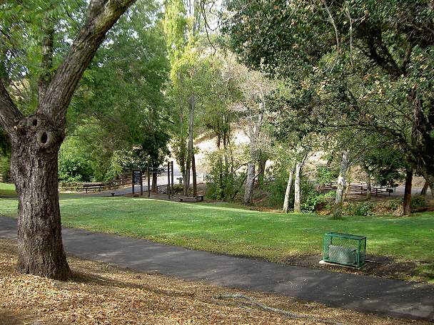
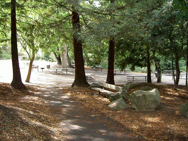
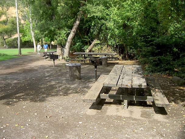
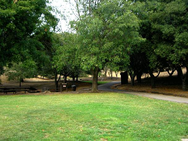
Picnic Areas
There
are several picnic areas near the park's main entrance. There are
first-come, first-served tables. There are also 6 reservable group
sites, which can accommodate 50-200 people, depending on he site:
Turtle, Elderberry, Cove, Willow, Mallard, and Heron. The sites have
BBQ's, running water, and nearby restrooms.
Bike path and the Turtle Picnic Area
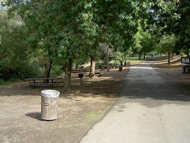
Bike path, fish cleaning station (on the right), and picnic area.
Entrance to the picnic areas from the end of the parking lot.
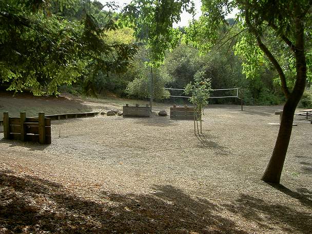
Horseshoes and volleyball court.
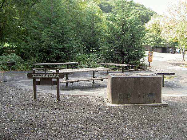
Elderberry Picnic Area
Picnic tables west of the Cove Picnic Area

Lawn south of the boat dock and the Cove Picnic Area
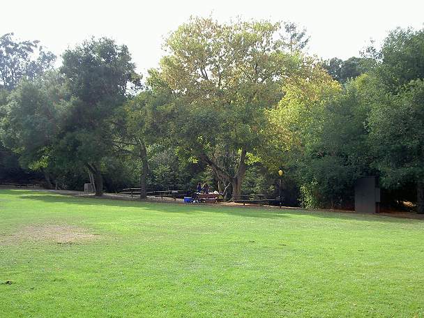
Picnic tables surrounding the big lawn near the marina
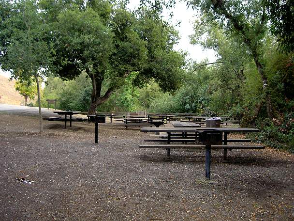
Willow Picnic Area
Mallard and Heron Picnic Areas
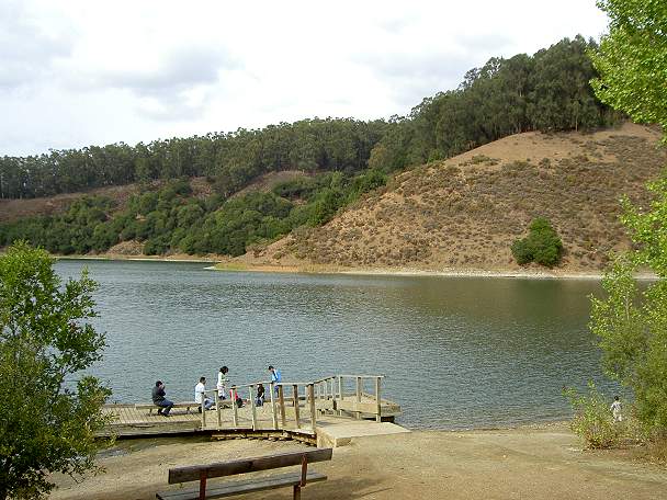
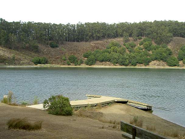
Marina
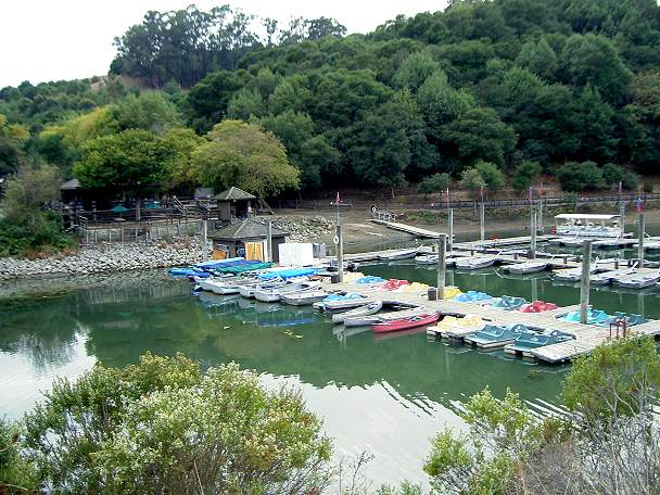
Marina
cafe and bait shop. Here you can get a lunch or snack, rent a boat, buy
bait and tackle, pick up a park map, and get fishing tips.
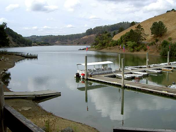
Lake Chabot Marina, rental boats, and tour boat
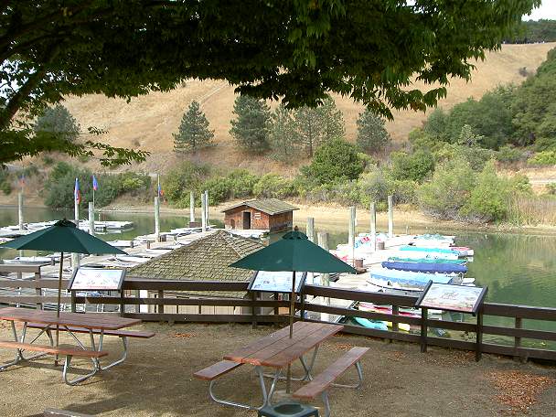
Lake Chabot Marina, picnic tables, interpretive signs, and rental boats
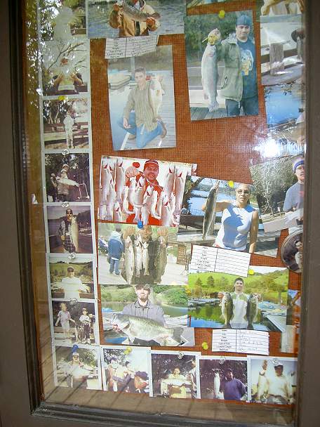
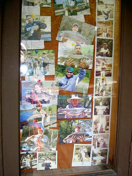
Pictures of fish caught in the lake, posted in the bait shop
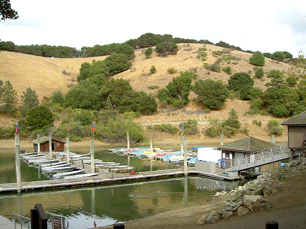
Marina and the hills behind
West Shore Trail
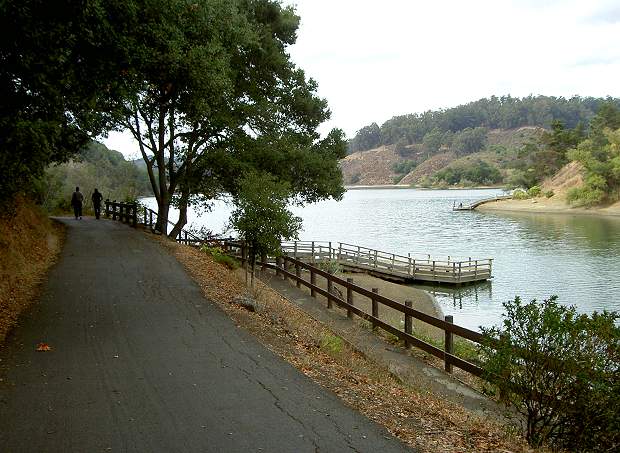
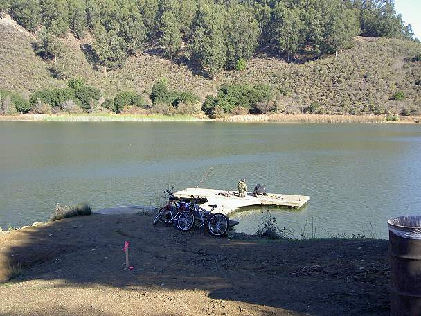
Start of the West Shore Trail and fishing pier. The paved trail runs for 1.8 miles to the dam.
Fishing pier on the West Shore

Restroom
on the West Shore Trail, with path leading to the lake. There are 6
restrooms on the West Shore Trail.
West Shore Trail leading uphill
View of the lake and Live Oak Island from the West Shore Trail
Coot Landing fishing pier
Alder Point fishing pier
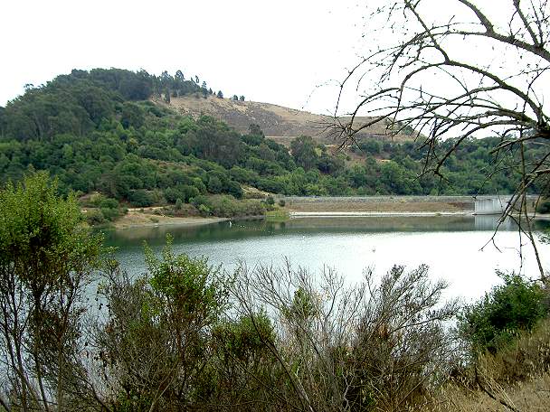
Shoreline access near the dam
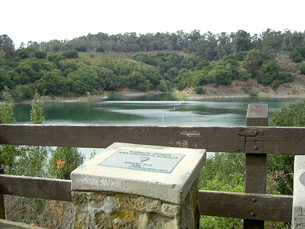
Plaques
on an elevated platform near the dam overlook, looking across at the
Bass Cove Trail. The plaques talk about the construction of the dam.
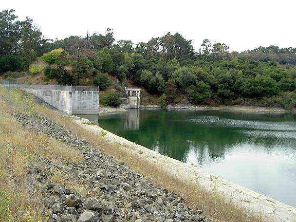
Lake Chabot Dam
Trail over the Lake Chabot Dam
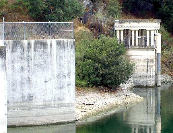
Dam spillway and outlet valve building

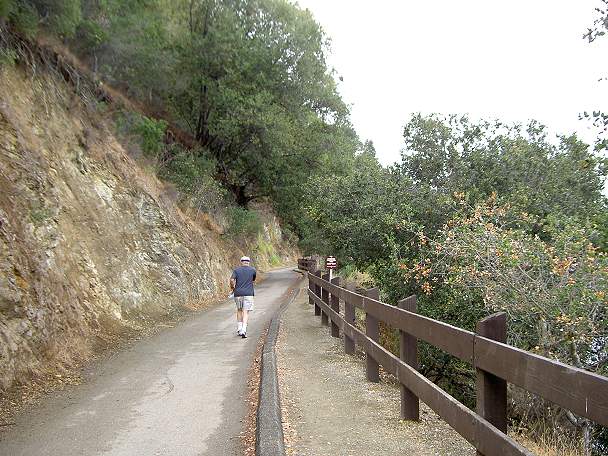
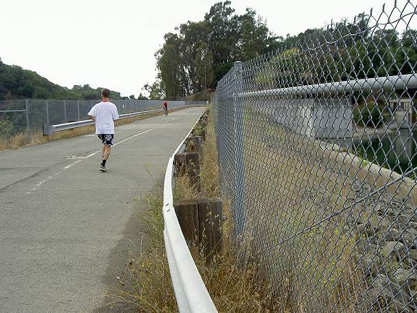
This
is the paved West Shore Trail leading downhill to the City of San
Leandro's Chabot Park at the end of Estudillo Drive.
Bass Cove Trail
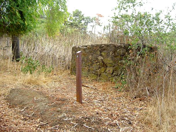
There
are several numbered posts near the dam. See the history
walk brochure for an explanation
of them. This is a control shaft for a water tunnel.
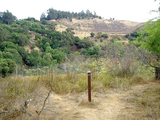
This
marks the site
of the dam construction superintendent's cottage. The hill in the
background was once a quarry. Part of it is within the park boundaries.
The Fairmont Ridge Trail, whose staging
area is off Fairmont Drive, leads up this hill.
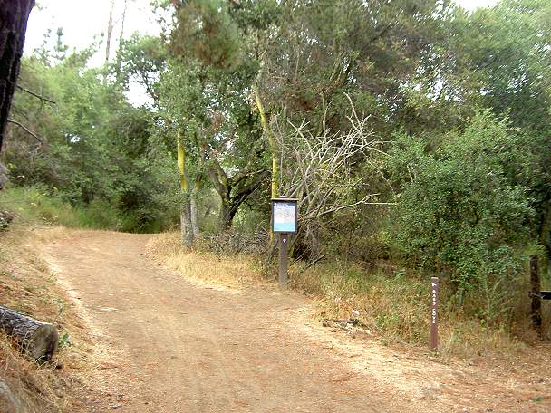
This is the
start of the Bass Cove Trail, which branches off the West Shore Trail
just past the dam. It is a wide dirt trail open to bikes, horses, and
hikers.
View of the dam from the Bass Cove Trail
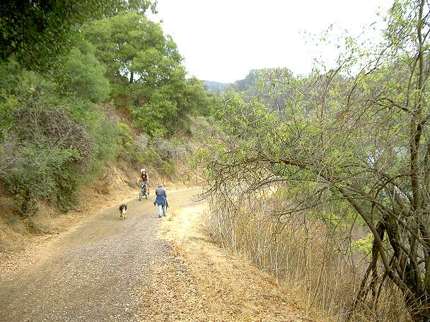
The Bass Cove Trail follows the lakeshore into Bass Cove. It is part of the 12.4-14.4-mile Lake Chabot Bicycle Loop.
East Shore Trail
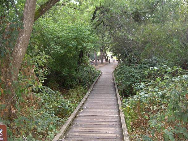
This wooden boardwalk crosses the marsh behind the marina and leads to the East Shore Trail.
View of the marina from the East Shore Trail. You can see the types of boats for rent.
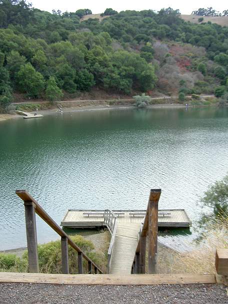
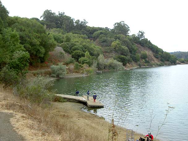
Steps leading down to a fishing pier. The West Shore Trail is on the opposite shore.
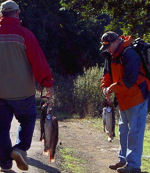
Fishermen carrying their catch on the East Shore (12/3/05)
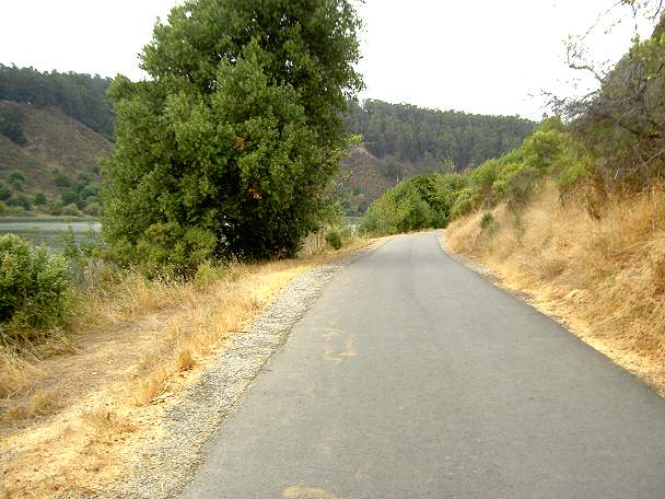
Like
the West Shore Trail, the East Shore Trail is paved. It has restrooms
and benches along the way. It is a little less hilly than the West
Shore Trail
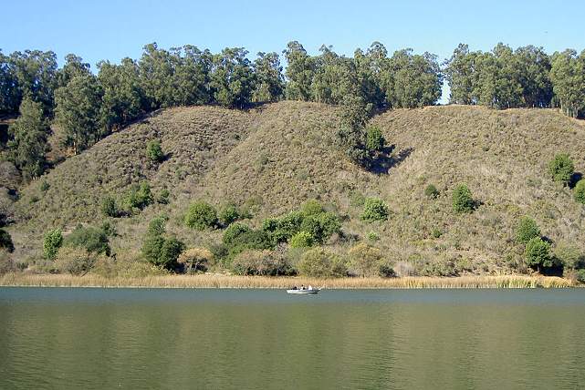
Looking across at the Honker Bay Trail ascending the hill to the Family Campground (12/3/05)
Fishing pier on the east shore (12/3/05)
Boat below the eucalyptus-forested hills, which is the site of the Chabot Family Campground. (12/3/05)
Raccoon Point fishing pier (12/3/05)
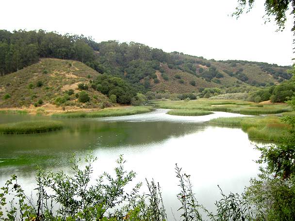
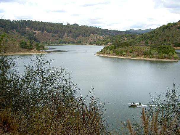
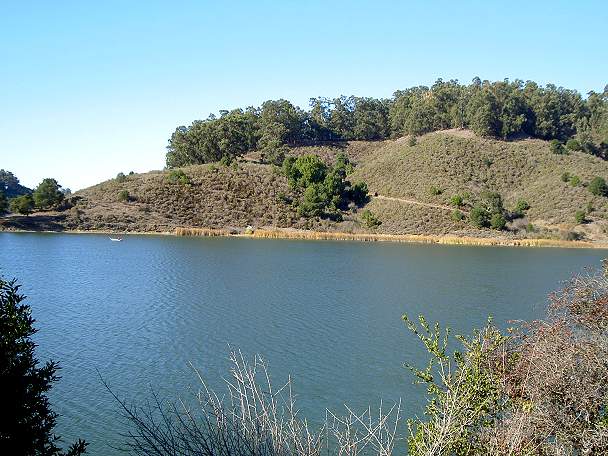
View of Honker
Bay from the East Shore Trail. At the end of Honker Bay, the bicycle
trail crosses a narrow bridge, then forks into the Live Oak Trail and
the Honker Bay Trail. The Live Oak Trail leads up the hills to the
Towhee Trail near the Family Campground entry kiosk. The Honker Bay
Trail continues along the shoreline, then climbs up to the end of the
Family Campground road. In the hills north of the lake is a huge
complex of trails in Anthony Chabot Regional Park. The Skyline National
Trail and Bay Area Ridge Trail run along the ridge through the park.
Trails lead to adjacent 1831-acre Redwood Regional Park,
82-acre Roberts
Recreation Area, and Oakland's 550-acre Joaquin Miller Park.
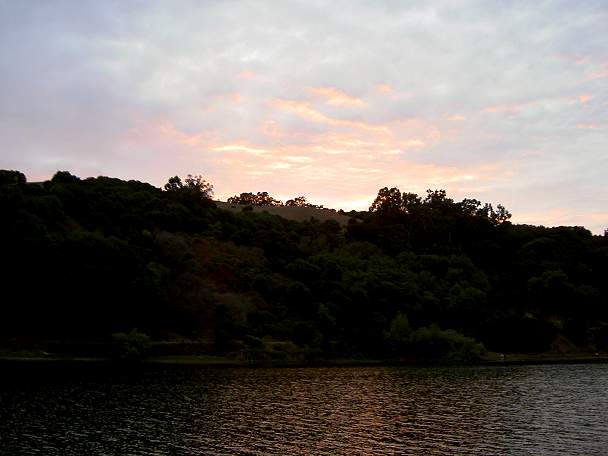
Sunset from the East Shore Trail