 |
|
|
|
|
|
|
|
|
|
|
|
|
|
|
|
|
|
|
|
|
|
|
|
|
|
|
|
|
|
 |
|
|
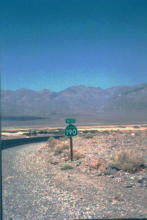
Ok, first of all, Dave was not really lost. Dave and Barb and Bob and Peg had decided to head out from Las Vegas to explore southern Nevada. Now Peg will tell you that Dave was trying to find Area 51 (to look for aliens or something). You don't really believe that, do you? Anyhow, we drove northwest from Vegas for an hour or so. It's rugged and beautiful country -- mostly desert with mountains in the distance. A few little (very few and very little) towns and some military installations are about all the civilization you see. It does not look much like Ohio. Then we headed west, across the California border, over the Amargosa Range and into Death Valley. (See Map) |
|
|
|
|
|
|
 |
|
|
|
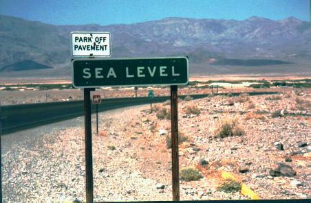
You know you are not on your standard Sunday afternoon drive when a sign tells you that you are now below sea level and the road continues to drop. Meanwhile the temperature continues to rise. It was July 31. The temperature when we left Las Vegas was 110 degrees. |
|
|
|
|
|
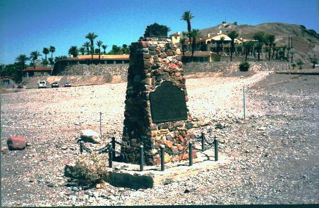
Finally, we reached the Furnace Creek Visitor Center. There is a nice museum here with artifacts from the pioneers who first crossed Death Valley, a memorial to those who didn't make it and information on the borax mines that first brougt settlers to this area. The Furnace Creek Lodge is a very nice resort if you want a really different place to stay. There is also a weather station which confirmed what our sweat had already hinted -- The temperature was 130 degrees (in the shade), just shy of the U.S. record 134 degrees which was also set here. The device at the right will give you the current temperature in Death Valley. Click it for a complete weather forcast. |
|
|
|
 |
|
|
|
 |
|
|
|
 |
|
|
 |
|
|
|
|