


|
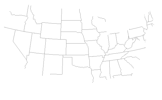
Click on the map buttons to see selected photos from those states. Photos are reduced 20-30%. Click on them to see full size. Topographical maps on each state page. Find all states at:
|

|
Arizona Canada Idaho Minnesota New Mexico Oregon South Dakota Texas Utah Washington Wyoming |

|
Superstition Wilderness, Grand Canyon, Marble Canyon. (15 pix) British Columbia, Jasper area, Emerald Lake. (6 pix) Panhandle and the Clearwater River. (12 pix) North Shore, Mississippi River area, and Pipestone. (19 pix) White Sands National Park. (1 pix) Coastal area forests and coastline. (4 pix) Bad Lands National Park and Black Hills. (19 pix) SE coastal bayou at Brazios St. Park. (4 pix) Zion National Park, Bryce Canyon, Arches National Park (8 pix) North central and Olympic Rain Forest. (4 pix) Big Horn Mts., Devils Tower, Yellowstone National Park. (12 pix) |