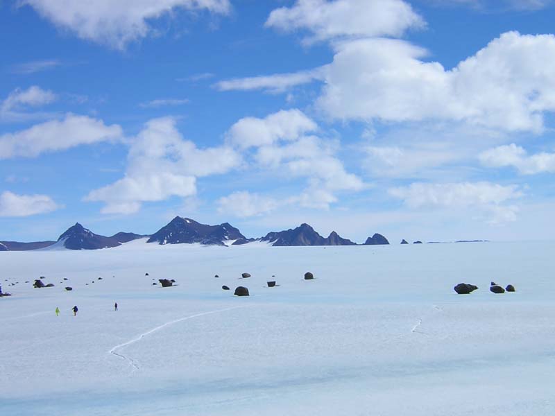
A moraine line is basically just a line of rocks, boulders, and/or soil that is carried along by a galcier. This moraine line
below Rumdoodle had some rather large boulders at the surface that were rather impressive. In the left foreground you can make
out three peolpe wandering across the ice. In the distance you can see the David
Range: the peak on the left is Fang Peak, and the middle one is Mt Parsons.
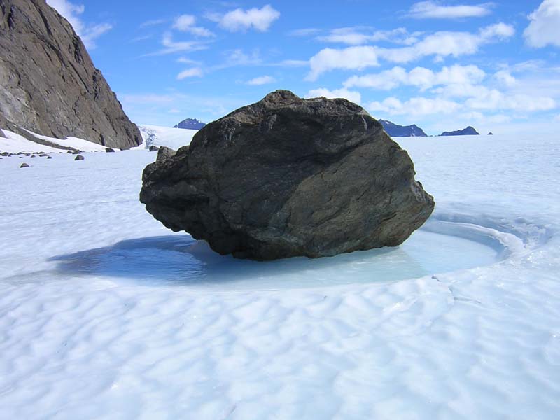
The photo below shows one of the boulders from the moraine line close up. The melting that occurs around the dark boulders in
the sun is clearly evident.
This site is designed to be viewed at a minimum screen resolution of 1024 x 768. If your computer can't handle this, it is time to get a new computer!
Unless otherwise stated, all images on this website are Copyright of the website author. They may not be used for any purpose without the express written consent of the author.
© Ray Hegarty 2003.