 |
|
|
|
|
|
|
|
|
|
|
|
|
|
|
|
|
|
|
|
|
|
|
|
|
|
|
|
|
|
|
|
|
|
|
|
|
|
|
|
|
|
Trail 291
Navigation Trail |
|
|
|
 |
|
|
|
This trail is 10 miles in length. You can start from the USFA Road 1013 parking area and campsite and head towards the Beaver Creek trailhead or you can start at Beaver Creek. I've done it both ways. The trail passes by both Plowboy and Navigation Campground. The trail follows the Upper Priest Lake shoreline on the 3-mile stretch between the Plowboy and Navigation Campgrounds. Plowboy Campground is 3 miles from the Beaver Creek Trailhead and Navigation Campground is 4 miles from the parking area off US Forest Service Road 1013. The trail crosses relatively level terrain. |
|
|
|
To reach the Road 1013 parking area, travel north on Highway 57 out of Priest River and follow it until the pavement ends, then proceed along USFS Raod 302.. At Granite Pass, proceed straight on USFS Road 1013 until you see a sign for Navigation Trail 291. Turn right at the sign and proceed to the traihead parking area at the road's end.
To reach the Beaver Creek Trailhead, proceed north on Highway 57 out of Priest River. In Nordman, bear right onto Reeder Bay Road. This turns into USFS Road 2512. Follow 2512 to the Beaver Creek Campground entrance. Bear right after entering the campground and foolw the road across Beaver Creek to the trailhead. |
|
 |
|
|
|
|
|
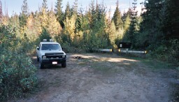
Trailhead Parking near Road 1013 |
|
|
|
|
|
 |
|
|
|
|
 |
|
|
|
 |
|
|
|
|
|
|
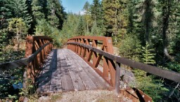
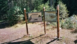
Harlequin Duck Storyboards near their nesting area under the foot bridge (right) over Hughes Fork |
|
|
|
|
|
 |
|
|
|
|
 |
|
|
|
|
|
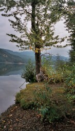
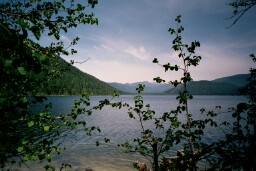
Upper Priest Lake as seen from Navigation Campground |
|
|
|
|
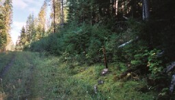
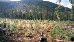
Logging Road that forms part of Trail 291 (left)
View of Burned Area from Trail 291 (right) |
|
|
|
|
|
|
 |
|
|
 |
|
|
|
 |
|
|
|
|
|
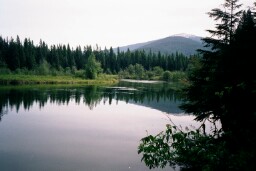
Upper Priest Lake near Plowboy Campground |
|
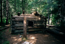
Allen-A-Dale Cabin near Plowboy Campground |
|
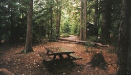
Picnic/Campsite at the Navigation Campground |
|
|
|
 |
|
 |
|
|
The Thorofare forms
the connection between Priest Lake and Upper Priest Lake. The beauty of the Thorofare is best enjoyed from a canoe or kayak. It's not unusual to see a moose out for a swim in the Thorofare waters. |
|
|
|
|
|
|
|
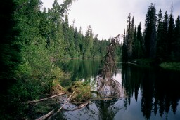
Thorofare Entrance as seen from the Beaver Creek Portage Trail |
|
|
|