Blacktail Mountain
| Trail 292 Blacktail Mountain |
|||||||||||||||||||||||||||||
| From Priest River, head north on Highway 57 to its end at mile marker 37. Continue for 3 miles on Forest Service Road 302, then turn right on Tango Creek Road. Proceed on Tango Creek Road for 5 miles. The trailhead will be on your left - look for the "green forest " marker on a tree above the road. It's about 1.5 miles to the top (2 hours up, 1.5 hours down). The trail does not appear on the USGS Quadrangle for the region; however, it's on the Kaniksu Forest Map. | |||||||||||||||||||||||||||||
|
|
||||||||||||||||||||||||||||
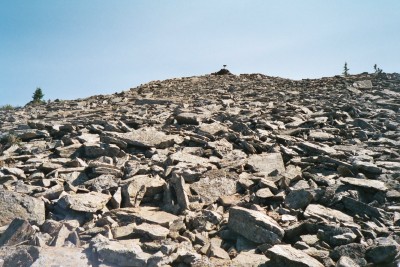
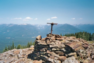
| View of Compass Pedastal remains from the base of the Talus rock | Compass Pedastal remains from the old fire lookout atop Blacktail Mountain (Elev. 5495') | ||||||||||||||||||||||||||||
|
|
||||||||||||||||||||||||||||
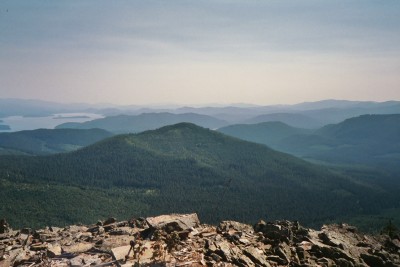
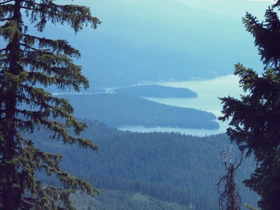
| The above picture shows Lakeview Mountain (more or less center) as it rises up from Priest Lake, thereby, blocking the view of Kaniksu and Papoose Islands from the vantage point on Blacktail Mountain. | |||||||||||||||||||||||||||||
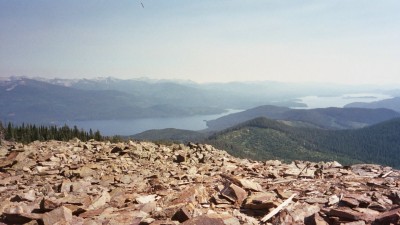
| View of Priest Lake with its many islands as seen from Blacktail Mountain. All the lake's islands are visible except for Kaniksu and Papoose. The picture shows the lake from Huckleberry Bay (left) to Coolin and Outlet Bay (right) | |||||||||||||||||||||||||||||
|
|
||||||||||||||||||||||||||||
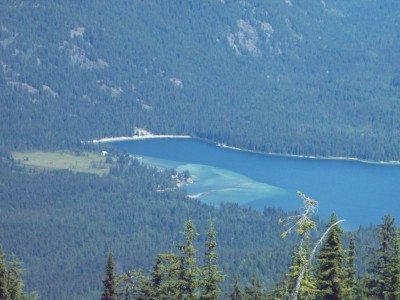
| View of Mosquito Bay and the Thorofare enrtrance (light blue water) from the remains of the Compass Pedastal atop Blacktail Mountain. Photograph taken using Celestron 8x Digital Binocular Camera. | Eight Mile Island in Priest Lake as seen from the base of the Talus rock at the north end of Blacktail Mountain. Photograph taken using Celestron 8x Digital Binocular Camera. | ||||||||||||||||||||||||||||