(along Shedroof Divide)
Helmer Mtn (background)
View of Mountains
(background)
| Roundtop Mountain (along Shedroof Divide) |
||||||||||||||||||||||||||||||||||||||||||||||||
| This trail takes off from the Shedroof Divide Trail for the former site of the old fire lookout atop Roundtop Mountain at an elevation of 6466 feet.. The lookout was built in the cupola cabin style. It was destroyed in the 1950s. | ||||||||||||||||||||||||||||||||||||||||||||||||
|
|
|
||||||||||||||||||||||||||||||||||||||||||||||
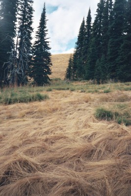
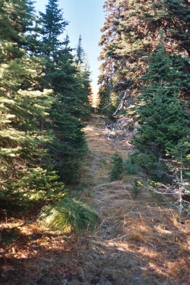
| Intersection of Trail 512 and the trail to the lookout site. It's at an elevation of 6270 feet (more or less) | Good view of the grass that grows all around Roundtop Mountain. | The trail leading out of the forest to the grassy slope just below the summit. Scramble up the slope to the summit. | ||||||||||||||||||||||||||||||||||||||||||||||
|
|
|
||||||||||||||||||||||||||||||||||||||||||||||
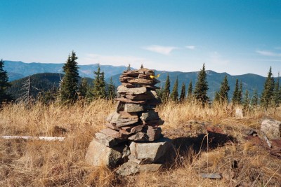
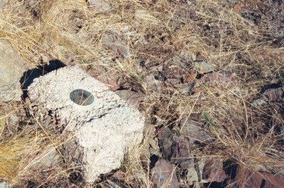
| Look inside the cairn at the top. There you will find a Summit Register that you can sign and leave your comments. Enjoy reading the accounts lefts by others. Elevation = 6466 feet. | US Coastal and Geodetic Survey marker at summit used as a triangulation station. It's dated 1964. Located near the cairn shown at left, above. | |||||||||||||||||||||||||||||||||||||||||||||||
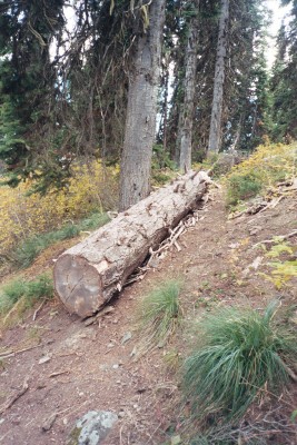
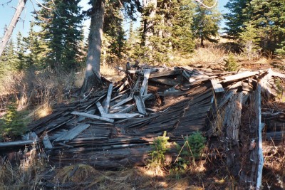
| If you drop down behind the site of the old lookout into the trees, you will find the remains of a cabin used by the lookout. | ||||||||||||||||||||||||||||||||||||||||||||||||
| Views from Roundtop Mountain taken with a Celestron 8x Digital Binocular Camera | ||||||||||||||||||||||||||||||||||||||||||||||||
|
|
|
|
|||||||||||||||||||||||||||||||||||||||||||||
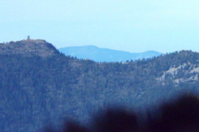
| Sullivan Mountain Fire Lookout (at left) | Mankato Mtn (foreground) Helmer Mtn (background) |
|||||||||||||||||||||||||||||||||||||||||||||||
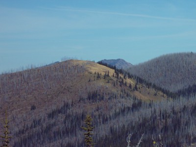
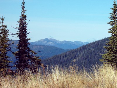
| Grass on Roundtop (foreground) View of Mountains (background) |
||||||||||||||||||||||||||||||||||||||||||||||||
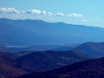
| Priest Lake | ||||||||||||||||||||||||||||||||||||||||||||||||