|
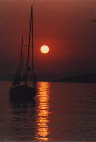
Mani is the southwestern peninsula of Peloponese. It is extended at the slopes of the mountain Taygetus, from it�s highest top, Taletos, to cape Tenaro. It is placed between Messinian bay from west, Mediterranean sea from south and Laconian bay from east, while it borders with Lacedaemona and Messini from north. |
|
|
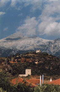
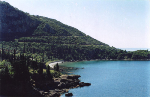
Mani�s ground formation, with the bare and steep mountain of Taygetus, give the appearance of a wild and desolated land. The main bays are: (at Eastern Mani) Gythio, Marathonisi, Vathi, Kotrona, Porto Kayio, Sterna and from cape Tenaro (at Western Mani) Marmari, Gerolimenas, Mezapos, Spathari, Diro, Kardamyli, Kitries, Palaiohora. The main capes are: (at Laconian bay) Mavrovouni, Paganea, Panagia, Stavros, Tenaro, and (at Messinian bay) Kavo Grosso, Tigani, Platy Helidoni, Glossa Stoupas, Mytikas. |
|