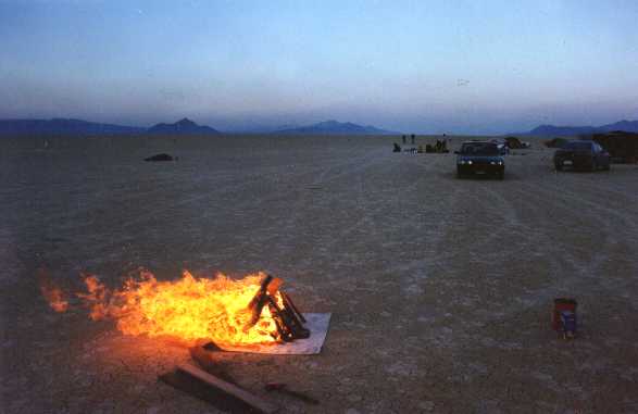
Church of the Slide Guitar and fire -- J4/2000
NoName 2002
view
view
rocket launch
rocket launch
Kath's tent
Thad's shade
Thad's shade - stake detail
Thad's shade - joint detail
tenting
parachute shade, cotton dropcloth shade
1-1/2 in. pipe & clamp detail
tripod
rubber band detail
stake detail
stake detail
rubber band detail
stake detail
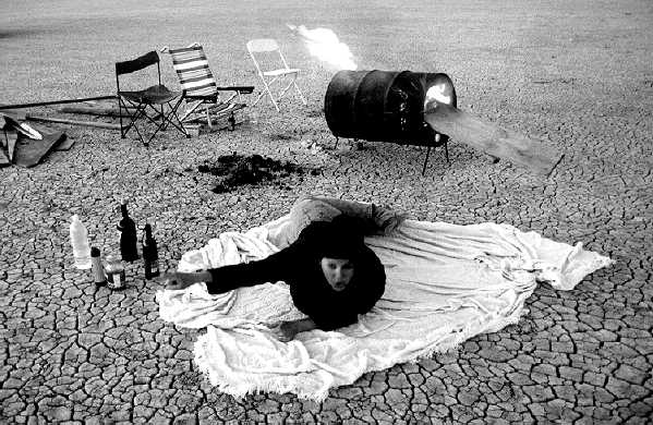
man in pieces at ranch
big white tent at ranch
More from 2000 -- Trey's roll: 1, 2, 3, Harold's 3D pics (red&blue glasses req'd) -- 1, 2, 3, 4, Thad's
Take THAT picture NOW! -- J4/1999
Trey's catamaran -- J4/1999
Aaron's candelarium -- J4/1999
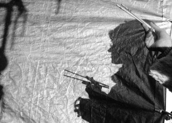
Kat's chopsticks -- J4/1999
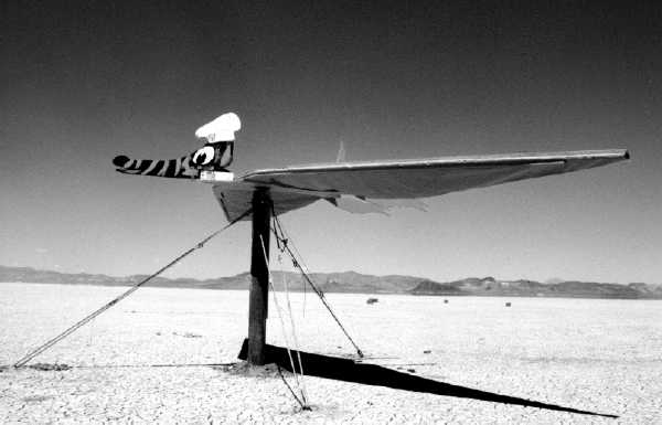
Bob's pterosaur -- J4/1999
See MAP showing x-spot for Independence Day.
Map reference: DeLorme 'Nevada Atlas and Gazetteer'
In landscape mode, map should print on 8.5 x 11 inch paper.
Online topo: Topozone
Directions:
From Gerlach, drive about 12 miles north on Route 34;
drive onto the playa at the 12-Mile Entrance;
swing left, to the north, and go 11 odometer miles northward on the dirt track;
turn right and go at least one mile due east until you see the blinky lights of our camp.
If you see very bright lights straight ahead to the east, it's the mine at Sulphur.
We plan to be one to four miles east of the west-side dirt track, depending on the wetness of the ground and proximity of other campers.

Unabob