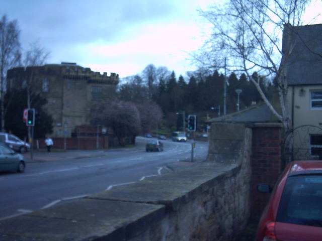
This shows the field of fire from the wall. It formed part of the Northern Command: River Wansbeck Stop Line - The line runs from the coast inland along the River Wansbeck and was developed as a demolition belt.
(Photos Dave Brown)
All contents
copyright � 2001-2002, Ian Sanders; all rights reserved.
All photos taken by or from the collection of Ian Sanders,
except where specifically noted. Please respect my
property rights, and do not copy these photos or reproduce them in any other way. This site is intended
for historical research only, and no political or philosophical aims should be assumed.