|
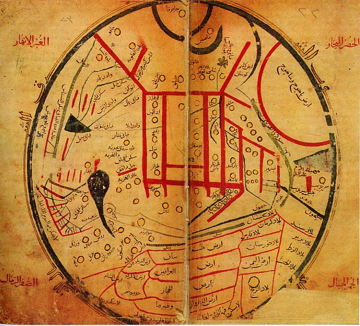
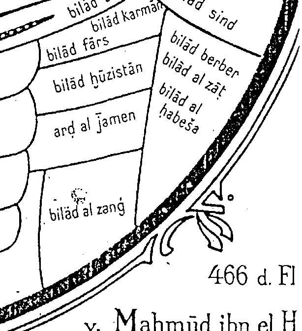
The map is different from other Islamic maps. It is a map of the world, centered on the Turkish-speaking areas of Central Asia, the area on the border between Kyrghizstan and Xinjang province in China. The center of the map is off course his home-area in China . The scale is reduced as one gets nearer the edge of the map. The colors are described in the original as gray for rivers, green for seas, light yellow for deserts, red for mountains, and yellow for cities and towns. (Like the squares in the center of the map are all mountains.) The map is oriented with East at the top. The countries surrounding Bilad al Zanj are Yemen in the East; Habash in the South (right on the map); Al Andalus in the North (left on the map) and the Ocean in the west. From this we can conclude that he did make mistakes and also that Bilad al Zanj includes most of Black Africa. Also note the dot in the Bilad al Zanj this means a major city. Unfortunately no name is given. None of the neighboring countries has any cities.
The colors are described in the original as gray for rivers, green for seas, light yellow for deserts, red for mountains, and yellow for cities and towns
The map is in the Millet Genel K�t�phanesi (the General National Library), Istanbul.
|
|